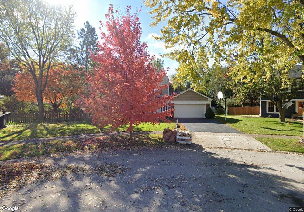
1955 Bristol Ct Naperville, IL 60565
Old Farm NeighborhoodEstimated Value: $459,000 - $505,000
--
Bed
1
Bath
1,789
Sq Ft
$268/Sq Ft
Est. Value
About This Home
This home is located at 1955 Bristol Ct, Naperville, IL 60565 and is currently estimated at $480,233, approximately $268 per square foot. 1955 Bristol Ct is a home located in DuPage County with nearby schools including Kingsley Elementary School, Lincoln Jr. High School, and Naperville Central High School.
Ownership History
Date
Name
Owned For
Owner Type
Purchase Details
Closed on
May 16, 2022
Sold by
Patti Joseph T and Patti Margaret M
Bought by
Patti Michael
Current Estimated Value
Home Financials for this Owner
Home Financials are based on the most recent Mortgage that was taken out on this home.
Original Mortgage
$344,350
Outstanding Balance
$328,540
Interest Rate
5.75%
Mortgage Type
New Conventional
Estimated Equity
$151,693
Purchase Details
Closed on
Aug 15, 2002
Sold by
Patti Joseph T and Patti Margaret M
Bought by
Patti Joseph T and Patti Margaret M
Home Financials for this Owner
Home Financials are based on the most recent Mortgage that was taken out on this home.
Original Mortgage
$170,000
Interest Rate
6.56%
Create a Home Valuation Report for This Property
The Home Valuation Report is an in-depth analysis detailing your home's value as well as a comparison with similar homes in the area
Home Values in the Area
Average Home Value in this Area
Purchase History
| Date | Buyer | Sale Price | Title Company |
|---|---|---|---|
| Patti Michael | $355,000 | Chicago Title | |
| Patti Joseph T | -- | -- |
Source: Public Records
Mortgage History
| Date | Status | Borrower | Loan Amount |
|---|---|---|---|
| Open | Patti Michael | $344,350 | |
| Previous Owner | Patti Joseph T | $170,000 |
Source: Public Records
Tax History Compared to Growth
Tax History
| Year | Tax Paid | Tax Assessment Tax Assessment Total Assessment is a certain percentage of the fair market value that is determined by local assessors to be the total taxable value of land and additions on the property. | Land | Improvement |
|---|---|---|---|---|
| 2024 | $8,228 | $142,310 | $69,895 | $72,415 |
| 2023 | $7,920 | $129,880 | $63,790 | $66,090 |
| 2022 | $7,253 | $118,070 | $57,990 | $60,080 |
| 2021 | $6,985 | $113,610 | $55,800 | $57,810 |
| 2020 | $6,835 | $111,570 | $54,800 | $56,770 |
| 2019 | $6,631 | $106,740 | $52,430 | $54,310 |
| 2018 | $6,298 | $101,650 | $49,930 | $51,720 |
| 2017 | $6,168 | $98,230 | $48,250 | $49,980 |
| 2016 | $6,040 | $94,680 | $46,510 | $48,170 |
| 2015 | $5,995 | $89,160 | $43,800 | $45,360 |
| 2014 | $5,755 | $83,320 | $40,930 | $42,390 |
| 2013 | $5,669 | $83,520 | $41,030 | $42,490 |
Source: Public Records
Map
Nearby Homes
- 303 Cedarbrook Rd
- 445 Travelaire Ave
- 2167 Countryside Cir
- 2206 Gleneagles Dr
- 343 Danbury Dr Unit 6B
- 2337 Worthing Dr Unit 102A
- 221 Hampshire Ct Unit 201D
- 1921 Wisteria Ct Unit 3
- 2132 Berkley Ct Unit 201A
- 240 Westbrook Cir
- 47 Glencoe Ct Unit 102D
- 284 Westbrook Cir
- 567 Roxbury Dr
- 23 Glencoe Ct Unit 202B
- 1443 Meander Dr
- 213 Winding Creek Dr
- 344 Waxwing Ave
- 2471 Kingsley Dr
- 2279 Kaskaskia Ct
- 302 Carriage Hill Rd
- 1959 Bristol Ct
- 1951 Bristol Ct
- 1946 Bristol Ct
- 2001 Walton Ct
- 2002 Walton Ct
- 1971 Bristol Ct
- 1950 Bristol Ct
- 1954 Bristol Ct
- 1960 Bristol Ct
- 2006 Walton Ct
- 1975 Bristol Ct
- 2005 Walton Ct
- 362 Ripley Ct
- 1978 Cabriolet Ct
- 1974 Cabriolet Ct
- 1982 Cabriolet Ct
- 372 Cedarbrook Rd
- 361 Ripley Ct
- 1986 Cabriolet Ct
- 376 Cedarbrook Rd