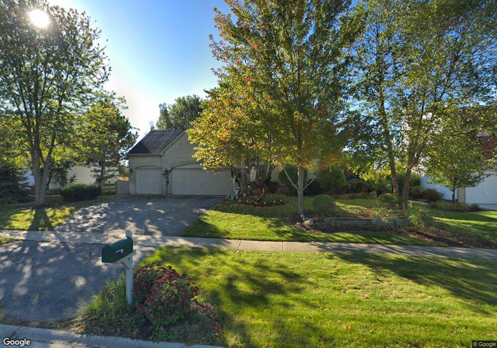
1955 Butler Dr Bartlett, IL 60103
Estimated Value: $518,000 - $600,000
4
Beds
3
Baths
2,927
Sq Ft
$190/Sq Ft
Est. Value
About This Home
This home is located at 1955 Butler Dr, Bartlett, IL 60103 and is currently estimated at $555,028, approximately $189 per square foot. 1955 Butler Dr is a home located in Cook County with nearby schools including Nature Ridge Elementary School, Kenyon Woods Middle School, and South Elgin High School.
Ownership History
Date
Name
Owned For
Owner Type
Purchase Details
Closed on
Jan 20, 2020
Sold by
Kummerer Jeff and Kummerer Wendy
Bought by
Kummerer Jeffrey and Kummerer Wendy
Current Estimated Value
Purchase Details
Closed on
May 1, 1995
Sold by
Centex Real Estate Corp
Bought by
Kummerer Jeff and Kummerer Wendy
Home Financials for this Owner
Home Financials are based on the most recent Mortgage that was taken out on this home.
Original Mortgage
$187,250
Interest Rate
6.37%
Create a Home Valuation Report for This Property
The Home Valuation Report is an in-depth analysis detailing your home's value as well as a comparison with similar homes in the area
Home Values in the Area
Average Home Value in this Area
Purchase History
| Date | Buyer | Sale Price | Title Company |
|---|---|---|---|
| Kummerer Jeffrey | -- | Bartlett Title Services Llc | |
| Kummerer Jeff | $234,500 | -- |
Source: Public Records
Mortgage History
| Date | Status | Borrower | Loan Amount |
|---|---|---|---|
| Closed | Kummerer Jeff | $187,250 |
Source: Public Records
Tax History Compared to Growth
Tax History
| Year | Tax Paid | Tax Assessment Tax Assessment Total Assessment is a certain percentage of the fair market value that is determined by local assessors to be the total taxable value of land and additions on the property. | Land | Improvement |
|---|---|---|---|---|
| 2024 | $12,147 | $41,000 | $9,724 | $31,276 |
| 2023 | $11,715 | $41,000 | $9,724 | $31,276 |
| 2022 | $11,715 | $41,000 | $9,724 | $31,276 |
| 2021 | $10,547 | $31,085 | $8,580 | $22,505 |
| 2020 | $10,476 | $31,085 | $8,580 | $22,505 |
| 2019 | $10,385 | $34,539 | $8,580 | $25,959 |
| 2018 | $11,480 | $34,946 | $7,436 | $27,510 |
| 2017 | $11,302 | $34,946 | $7,436 | $27,510 |
| 2016 | $10,849 | $34,946 | $7,436 | $27,510 |
| 2015 | $11,096 | $33,255 | $6,578 | $26,677 |
| 2014 | $10,968 | $33,255 | $6,578 | $26,677 |
| 2013 | $10,515 | $33,255 | $6,578 | $26,677 |
Source: Public Records
Map
Nearby Homes
- 227 Faircroft Rd Unit 1
- 240 Hearthstone Dr
- 1969 Osprey Ct Unit 223
- 180 Primrose Ln Unit 1
- 186 Sunflower Ln
- 184 Primrose Ln Unit 1
- 1057 Moraine Dr
- 1016 Moraine Dr
- 1079 Atterberg Rd
- 1101 Mable Ln Unit 1101
- 200 Patrick Dr
- 1618 Thornbury Rd Unit 1224
- 303 Ann St
- 1458 Deer Pointe Dr
- 561 South Dr
- 629 Dogleg Ln
- 1318 Foxglove Dr
- 1314 Foxglove Dr
- 1316 Foxglove Dr
- 1390 Wild Tulip Cir
- 1959 Butler Dr
- 1951 Butler Dr
- 1963 Butler Dr
- 1947 Butler Dr
- 258 Remington Dr
- 1960 Butler Dr
- 1943 Butler Dr
- 1967 Butler Dr
- 254 Remington Dr
- 249 Remington Dr
- 1939 Butler Dr
- 1999 Westridge Blvd
- 1973 Butler Dr
- 1995 Westridge Blvd
- 250 Remington Dr
- 245 Remington Dr
- 244 Edgewater Dr Unit 5
- 1977 Butler Dr
- 1935 Butler Dr
- 1981 Butler Dr Unit 5