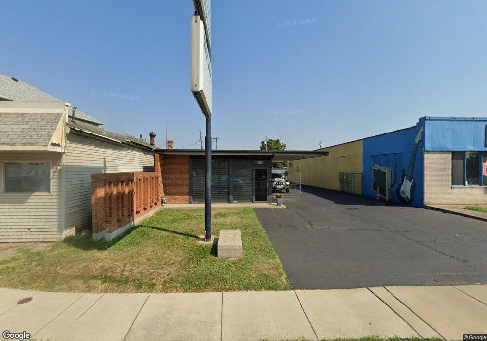
1955 Central Ave Middletown, OH 45044
Church NeighborhoodEstimated Value: $67,554
--
Bed
--
Bath
1,430
Sq Ft
$47/Sq Ft
Est. Value
About This Home
This home is located at 1955 Central Ave, Middletown, OH 45044 and is currently estimated at $67,554, approximately $47 per square foot. 1955 Central Ave is a home located in Butler County with nearby schools including Rosa Parks Elementary School, Highview 6th Grade Center, and Middletown Middle School.
Ownership History
Date
Name
Owned For
Owner Type
Purchase Details
Closed on
May 27, 2022
Sold by
Big Buckeye Boys Llc
Bought by
Tcb Bryte Investments Llc
Current Estimated Value
Purchase Details
Closed on
Nov 22, 2017
Sold by
Parrella Ii Larry E and Owens Brien L
Bought by
Big Buckeye Boys Llc
Purchase Details
Closed on
Dec 11, 2015
Sold by
Francis David M
Bought by
Parrella Larry E and Owens Brien L
Purchase Details
Closed on
Dec 29, 2011
Sold by
Francis David M
Bought by
Francis David M
Create a Home Valuation Report for This Property
The Home Valuation Report is an in-depth analysis detailing your home's value as well as a comparison with similar homes in the area
Home Values in the Area
Average Home Value in this Area
Purchase History
| Date | Buyer | Sale Price | Title Company |
|---|---|---|---|
| Tcb Bryte Investments Llc | $55,000 | Page Gregory S | |
| Big Buckeye Boys Llc | -- | None Available | |
| Parrella Larry E | $45,000 | Attorney | |
| Francis David M | -- | None Available |
Source: Public Records
Tax History Compared to Growth
Tax History
| Year | Tax Paid | Tax Assessment Tax Assessment Total Assessment is a certain percentage of the fair market value that is determined by local assessors to be the total taxable value of land and additions on the property. | Land | Improvement |
|---|---|---|---|---|
| 2024 | $1,085 | $17,870 | $7,670 | $10,200 |
| 2023 | $1,073 | $17,870 | $7,670 | $10,200 |
| 2022 | $1,197 | $17,870 | $7,670 | $10,200 |
| 2021 | $1,199 | $17,870 | $7,670 | $10,200 |
| 2020 | $1,243 | $17,870 | $7,670 | $10,200 |
| 2019 | $1,734 | $15,020 | $8,120 | $6,900 |
| 2018 | $1,143 | $15,020 | $8,120 | $6,900 |
| 2017 | $1,147 | $15,020 | $8,120 | $6,900 |
| 2016 | $1,130 | $15,020 | $8,120 | $6,900 |
| 2015 | $1,775 | $23,940 | $8,120 | $15,820 |
| 2014 | $1,621 | $23,940 | $8,120 | $15,820 |
| 2013 | $1,621 | $21,720 | $8,120 | $13,600 |
Source: Public Records
Map
Nearby Homes
- 2007 Central Ave
- 113 N Sutphin St
- 2016 Linden Ave
- 2113 Central Ave
- 2112 Central Ave
- 2115 Central Ave
- 2119 Central Ave
- 206 N Sutphin St
- 211 Harrison St
- 319 Moore St
- 6800 Fielders Way
- 1814.5 Logan Ave
- 408 Moore St
- 19 Mckinley St
- 410 Moore St
- 2208 Superior Ave
- 1814 Logan Ave
- 1609 1st Ave
- 401 S Sutphin St
- 15 Garfield St
- 1951 Central Ave
- 1949 Central Ave
- 12 N Sutphin St
- 1920 1st Ave
- 14 N Sutphin St Unit 2
- 14 N Sutphin St
- 14 N Sutphin St Unit 16
- 16 N Sutphin St
- 2001 Central Ave
- 18 N Sutphin St
- 5 N Sutphin St
- 20 N Sutphin St
- 12 Moore St
- 3 N Sutphin St
- 3 N Sutphin St
- 7 N Sutphin St
- 11 N Sutphin St
- 1914 Central Ave
- 15 N Sutphin St
- 100 N Sutphin St