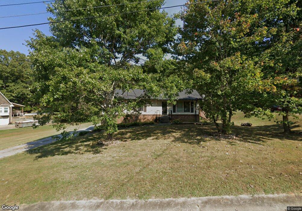
1955 Dinsmore Rd Clarksville, TN 37040
Estimated Value: $258,000 - $276,154
--
Bed
1
Bath
1,100
Sq Ft
$239/Sq Ft
Est. Value
About This Home
This home is located at 1955 Dinsmore Rd, Clarksville, TN 37040 and is currently estimated at $262,539, approximately $238 per square foot. 1955 Dinsmore Rd is a home located in Montgomery County with nearby schools including Cumberland Heights Elementary School, Montgomery Central Middle School, and Montgomery Central High School.
Ownership History
Date
Name
Owned For
Owner Type
Purchase Details
Closed on
Apr 23, 2024
Sold by
Shepherd Lori and Shepherd Brian
Bought by
Lewis Jerome John and Cammiss Lewis Rachel
Current Estimated Value
Home Financials for this Owner
Home Financials are based on the most recent Mortgage that was taken out on this home.
Original Mortgage
$6,000
Outstanding Balance
$2,926
Interest Rate
6.74%
Mortgage Type
New Conventional
Estimated Equity
$259,613
Purchase Details
Closed on
Mar 27, 2009
Sold by
Baker Cynthia M
Bought by
Shepherd Brian
Home Financials for this Owner
Home Financials are based on the most recent Mortgage that was taken out on this home.
Original Mortgage
$132,554
Interest Rate
5.14%
Create a Home Valuation Report for This Property
The Home Valuation Report is an in-depth analysis detailing your home's value as well as a comparison with similar homes in the area
Home Values in the Area
Average Home Value in this Area
Purchase History
| Date | Buyer | Sale Price | Title Company |
|---|---|---|---|
| Lewis Jerome John | $285,000 | Governors Land And Title | |
| Lewis Jerome John | $285,000 | Governors Land And Title | |
| Shepherd Brian | $135,000 | -- |
Source: Public Records
Mortgage History
| Date | Status | Borrower | Loan Amount |
|---|---|---|---|
| Open | Lewis Jerome John | $6,000 | |
| Closed | Lewis Jerome John | $6,000 | |
| Open | Lewis Jerome John | $285,000 | |
| Closed | Lewis Jerome John | $285,000 | |
| Previous Owner | Shepherd Brian | $122,203 | |
| Previous Owner | Shepherd Brian | $132,554 |
Source: Public Records
Tax History Compared to Growth
Tax History
| Year | Tax Paid | Tax Assessment Tax Assessment Total Assessment is a certain percentage of the fair market value that is determined by local assessors to be the total taxable value of land and additions on the property. | Land | Improvement |
|---|---|---|---|---|
| 2024 | $1,290 | $61,450 | $0 | $0 |
| 2023 | $1,290 | $41,000 | $0 | $0 |
| 2022 | $1,226 | $41,000 | $0 | $0 |
| 2021 | $1,226 | $41,000 | $0 | $0 |
| 2020 | $1,226 | $41,000 | $0 | $0 |
| 2019 | $1,226 | $41,000 | $0 | $0 |
| 2018 | $1,026 | $25,925 | $0 | $0 |
| 2017 | $1,026 | $33,425 | $0 | $0 |
| 2016 | $1,026 | $33,425 | $0 | $0 |
| 2015 | $1,026 | $33,425 | $0 | $0 |
| 2014 | $943 | $31,700 | $0 | $0 |
| 2013 | $782 | $24,900 | $0 | $0 |
Source: Public Records
Map
Nearby Homes
- 1872 River Rd
- 0 Elmwood Rd
- 1910 River Rd
- 1 Dean Rd
- 1916 River Rd
- 2076 Hilltop View Rd
- 217 Wayne Hall Rd
- 201 Wayne Hall Rd
- 205 Wayne Hall Rd
- 0 Morrison Ct W
- 221 Wayne Hall Rd
- 1493 Morrison Ct
- 487 Indian Overlook
- 1756 Cumberland Heights Rd
- 1492 Cumberland Heights Rd
- 1551 Cumberland Heights Rd
- 495 Ridge Top Ct
- 490 Ridge Top Ct
- 487 Ridge Top Ct
- 305 Wayne Hall Rd
- 1975 Dinsmore Rd
- 1995 Dinsmore Rd
- 1935 Dinsmore Rd
- 1960 Dinsmore Rd
- 1835 Dinsmore Rd
- 2000 Dinsmore Rd
- 2010 Dinsmore Rd
- 2005 Dinsmore Rd
- 1915 Dinsmore Rd
- 1940 Dinsmore Rd
- 2020 Dinsmore Rd
- 1920 Dinsmore Rd
- 2009 Dinsmore Rd
- 1875 Dinsmore Rd
- 2024 Dinsmore Rd
- 2013 Dinsmore Rd
- 1865 Dinsmore Rd
- 2028 Dinsmore Rd
- 1900 Dinsmore Rd
- 1767 River Rd