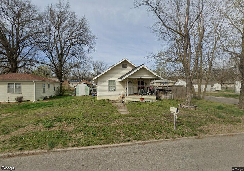
1955 E Laurel St Joplin, MO 64801
Royal Heights NeighborhoodEstimated Value: $121,000 - $152,000
3
Beds
1
Bath
1,068
Sq Ft
$124/Sq Ft
Est. Value
About This Home
This home is located at 1955 E Laurel St, Joplin, MO 64801 and is currently estimated at $132,838, approximately $124 per square foot. 1955 E Laurel St is a home located in Jasper County with nearby schools including Royal Heights Elementary School, East Middle School, and Joplin High School.
Ownership History
Date
Name
Owned For
Owner Type
Purchase Details
Closed on
Oct 17, 2023
Sold by
Creative Property Management Llc
Bought by
Martin Megan L and Bell George A
Current Estimated Value
Purchase Details
Closed on
Oct 12, 2023
Sold by
Creative Property Management Llc
Bought by
Martin Megan L and Bell George A
Purchase Details
Closed on
Aug 24, 2011
Sold by
Federal Home Loan Mortgage Corporation
Bought by
Creative Property Management Llc
Purchase Details
Closed on
Jul 12, 2011
Sold by
Hance Anita C
Bought by
Federal Home Loan Mortgage Corporation
Create a Home Valuation Report for This Property
The Home Valuation Report is an in-depth analysis detailing your home's value as well as a comparison with similar homes in the area
Home Values in the Area
Average Home Value in this Area
Purchase History
| Date | Buyer | Sale Price | Title Company |
|---|---|---|---|
| Martin Megan L | $40,000 | None Listed On Document | |
| Martin Megan L | $40,000 | None Listed On Document | |
| Creative Property Management Llc | -- | Jct | |
| Federal Home Loan Mortgage Corporation | $50,888 | None Available |
Source: Public Records
Tax History
| Year | Tax Paid | Tax Assessment Tax Assessment Total Assessment is a certain percentage of the fair market value that is determined by local assessors to be the total taxable value of land and additions on the property. | Land | Improvement |
|---|---|---|---|---|
| 2025 | $426 | $10,380 | $1,220 | $9,160 |
| 2024 | $425 | $9,220 | $1,220 | $8,000 |
| 2023 | $425 | $9,220 | $1,220 | $8,000 |
| 2022 | $415 | $9,020 | $1,220 | $7,800 |
| 2021 | $412 | $9,020 | $1,220 | $7,800 |
| 2020 | $389 | $8,330 | $1,220 | $7,110 |
| 2019 | $390 | $8,330 | $1,220 | $7,110 |
| 2018 | $391 | $8,380 | $0 | $0 |
| 2017 | $392 | $8,380 | $0 | $0 |
| 2016 | $387 | $8,380 | $0 | $0 |
Source: Public Records
Map
Nearby Homes
- 2016 Nashville St
- 000000 Back Lot of Laurel St Unit A&B
- 0
- 2109 Odessa St
- 2116 Princeton St
- 2010 E Quincy
- 2422 E Manitou St
- 2006 Quincy St
- 000 E Laurel St Unit Lots A&B
- 1632 N Saint Louis Ave
- 2522 Rolla St
- 2804 E Ridge View Ct
- 2417 N Saint Louis Ave
- XX N Ozark Ave
- XX N Ozark Ave Unit 15/16
- XX (+/- 2.3 ac) N Ozark Ave
- 2510 E Windsor St
- 2523 E Windsor St
- 2102 E Yuma St
- 2327 E Xenia St
- 1949 E Laurel St
- 2101 E Laurel St
- 1943 E Laurel St
- 1954 E Manitou St
- 1950 E Manitou St
- 2102 E Laurel St
- 1954 E Laurel St
- 2102 E Manitou St
- 1935 E Laurel St
- 1946 E Laurel St
- 1942 E Manitou St
- 2104 E Manitou St
- 2111 E Laurel St
- 1942 E Laurel St
- 2108 E Laurel St
- 1931 E Laurel St
- 1934 E Manitou St
- 2101 E Manitou St
- 2108 E Manitou St
- 1936 E Laurel St
Your Personal Tour Guide
Ask me questions while you tour the home.