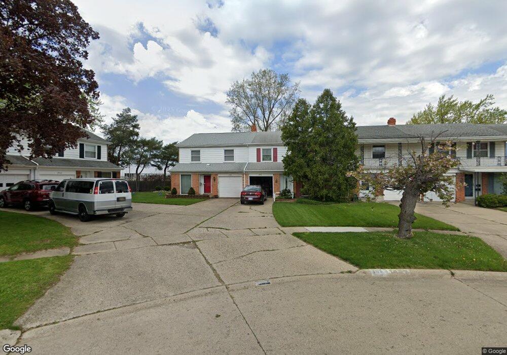
1955 Laurel Oak Dr Flint, MI 48507
Westgate NeighborhoodEstimated Value: $90,792 - $130,000
3
Beds
2
Baths
1,739
Sq Ft
$66/Sq Ft
Est. Value
About This Home
This home is located at 1955 Laurel Oak Dr, Flint, MI 48507 and is currently estimated at $114,948, approximately $66 per square foot. 1955 Laurel Oak Dr is a home located in Genesee County with nearby schools including Neithercut Elementary School, Flint Southwestern Classical Academy, and International Academy of Flint (K-12).
Ownership History
Date
Name
Owned For
Owner Type
Purchase Details
Closed on
Sep 21, 2009
Sold by
Pettway Victor V
Bought by
Marshall Regina D
Current Estimated Value
Purchase Details
Closed on
Apr 16, 2003
Sold by
Cowan Regina and Pettway Regina
Bought by
Pettway Victor and Pettway Regina
Home Financials for this Owner
Home Financials are based on the most recent Mortgage that was taken out on this home.
Original Mortgage
$74,250
Interest Rate
9.65%
Mortgage Type
Purchase Money Mortgage
Create a Home Valuation Report for This Property
The Home Valuation Report is an in-depth analysis detailing your home's value as well as a comparison with similar homes in the area
Home Values in the Area
Average Home Value in this Area
Purchase History
| Date | Buyer | Sale Price | Title Company |
|---|---|---|---|
| Marshall Regina D | -- | None Available | |
| Pettway Victor | -- | Titlequest Agency |
Source: Public Records
Mortgage History
| Date | Status | Borrower | Loan Amount |
|---|---|---|---|
| Previous Owner | Pettway Victor | $74,250 |
Source: Public Records
Tax History
| Year | Tax Paid | Tax Assessment Tax Assessment Total Assessment is a certain percentage of the fair market value that is determined by local assessors to be the total taxable value of land and additions on the property. | Land | Improvement |
|---|---|---|---|---|
| 2025 | $1,149 | $46,800 | $0 | $0 |
| 2024 | $1,035 | $44,200 | $0 | $0 |
| 2023 | $1,014 | $37,700 | $0 | $0 |
| 2022 | $0 | $28,800 | $0 | $0 |
| 2021 | $1,057 | $23,300 | $0 | $0 |
| 2020 | $948 | $21,100 | $0 | $0 |
| 2019 | $1,275 | $14,100 | $0 | $0 |
| 2018 | $1,941 | $14,500 | $0 | $0 |
| 2017 | $961 | $0 | $0 | $0 |
| 2016 | $1,358 | $0 | $0 | $0 |
| 2015 | -- | $0 | $0 | $0 |
| 2014 | -- | $0 | $0 | $0 |
| 2012 | -- | $21,300 | $0 | $0 |
Source: Public Records
Map
Nearby Homes
- 1939 Laurel Oak Dr
- 4202 Park Forest Dr
- 1933 Greenbriar Ln
- 1902 Rockcreek Ln
- 1818 Rockcreek Ln
- 4101 Greenbrook Ln
- Lot 57 Walnut Creek Dr
- 1446 Stephens Ave
- 1836 Willowbrook Cir
- 4502 Huckleberry Ln
- 1826 Greenbrook Ln
- 3312 Renault Dr
- 1741 Carmanbrook Pkwy
- 1627 Blackberry Ln
- 1247 Catalina Dr
- 1508 W Bristol Rd
- 1814 Carmanbrook Pkwy
- 1151 Bristol Rd
- 1727 Briarwood Dr
- 1318 Ingleside Ave
- 1943 Laurel Oak Dr
- 1949 Laurel Oak Dr
- 1951 Laurel Oak Dr Unit Bldg-Unit
- 1951 Laurel Oak Dr
- 1947 Laurel Oak Dr
- 1945 Laurel Oak Dr Unit Bldg-Unit
- 1945 Laurel Oak Dr
- 1953 Laurel Oak Dr
- 1941 Laurel Oak Dr
- 1957 Laurel Oak Dr
- 1959 Laurel Oak Dr
- 4324 Park Forest Dr
- 1937 Laurel Oak Dr
- 1935 Laurel Oak Dr
- 1961 Laurel Oak Dr
- 1963 Laurel Oak Dr
- 1933 Laurel Oak Dr
- 1965 Laurel Oak Dr
- 4322 Park Forest Dr
- 1917 Laurel Oak Dr
Your Personal Tour Guide
Ask me questions while you tour the home.