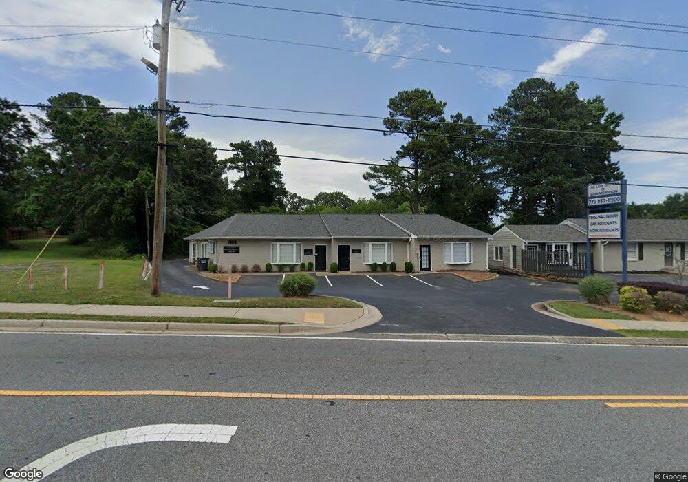
1955 Lower Roswell Rd Marietta, GA 30068
Southeast Cobb NeighborhoodEstimated Value: $1,249,747
--
Bed
--
Bath
4,743
Sq Ft
$263/Sq Ft
Est. Value
About This Home
This home is located at 1955 Lower Roswell Rd, Marietta, GA 30068 and is currently estimated at $1,249,747, approximately $263 per square foot. 1955 Lower Roswell Rd is a home located in Cobb County with nearby schools including Sedalia Park Elementary School, East Cobb Middle School, and Wheeler High School.
Ownership History
Date
Name
Owned For
Owner Type
Purchase Details
Closed on
Nov 15, 2018
Sold by
John E Morrison Jr Llc
Bought by
Morrison Commercial Llc
Current Estimated Value
Purchase Details
Closed on
Dec 5, 2014
Sold by
Lower Roswell Office Plaza Inc
Bought by
John E Morrison Jr Llc
Purchase Details
Closed on
Jun 15, 1998
Sold by
Weise Duane M
Bought by
Lower Roswell Office Plaza Inc
Create a Home Valuation Report for This Property
The Home Valuation Report is an in-depth analysis detailing your home's value as well as a comparison with similar homes in the area
Home Values in the Area
Average Home Value in this Area
Purchase History
| Date | Buyer | Sale Price | Title Company |
|---|---|---|---|
| Morrison Commercial Llc | -- | -- | |
| John E Morrison Jr Llc | -- | -- | |
| John E Morrison Jr Llc | $550,000 | -- | |
| Lower Roswell Office Plaza Inc | $295,000 | -- |
Source: Public Records
Mortgage History
| Date | Status | Borrower | Loan Amount |
|---|---|---|---|
| Closed | Lower Roswell Office Plaza Inc | -- |
Source: Public Records
Tax History Compared to Growth
Tax History
| Year | Tax Paid | Tax Assessment Tax Assessment Total Assessment is a certain percentage of the fair market value that is determined by local assessors to be the total taxable value of land and additions on the property. | Land | Improvement |
|---|---|---|---|---|
| 2025 | $8,017 | $266,080 | $118,780 | $147,300 |
| 2024 | $8,022 | $266,080 | $118,780 | $147,300 |
| 2023 | $8,015 | $265,840 | $118,780 | $147,060 |
| 2022 | $7,034 | $231,768 | $109,644 | $122,124 |
| 2021 | $7,022 | $231,364 | $109,644 | $121,720 |
| 2020 | $7,022 | $231,364 | $109,644 | $121,720 |
| 2019 | $7,006 | $230,844 | $109,644 | $121,200 |
| 2018 | $7,006 | $230,844 | $109,644 | $121,200 |
| 2017 | $6,637 | $230,844 | $109,644 | $121,200 |
| 2016 | $5,870 | $204,168 | $91,368 | $112,800 |
| 2015 | $6,015 | $204,168 | $91,368 | $112,800 |
| 2014 | $6,172 | $207,728 | $91,368 | $116,360 |
Source: Public Records
Map
Nearby Homes
- 1821 Clearwater Dr SE
- 57 Sewell Ln
- 1923 Clearwater Dr SE
- 201 Hunting Creek Dr Unit LotWP001
- 201 Hunting Creek Dr
- 2164 Pawnee Dr SE Unit 1
- 332 Hamilton Trace
- 1824 Crestridge Dr SE
- 1785 Crestridge Dr SE
- 349 Virginia Place SE
- 369 Virginia Place SE
- 20 Ashton Woods Dr
- 185 Herbert Dr SE
- 2059 Clearwater Dr SE
- 402 Terrydale Dr SE
- 2310 Old Sewell Rd
- 361 Clear Spring Ct
- 53 Weatherstone Pkwy
- 141 Powers Ferry Rd SE
- 1722 Crestridge Dr SE
- 51 Worthington Dr Unit 2
- 1975 Lower Roswell Rd
- 41 Worthington Dr
- 1956 Lower Roswell Rd Unit A
- 61 Worthington Dr
- 31 Worthington Dr
- 76 Indian Trail
- 71 Worthington Dr
- 21 Worthington Dr
- 66 Indian Trail
- 50 Worthington Dr Unit 2
- 1796 Clearwater Dr SW
- 56 Indian Trail
- 1796 Clearwater Dr SE
- 1810 Clearwater Dr SE
- 11 Worthington Dr
- 30 Worthington Dr
- 64 Worthington Dr
- 1814 Clearwater Dr SE
- 1822 Clearwater Dr SE