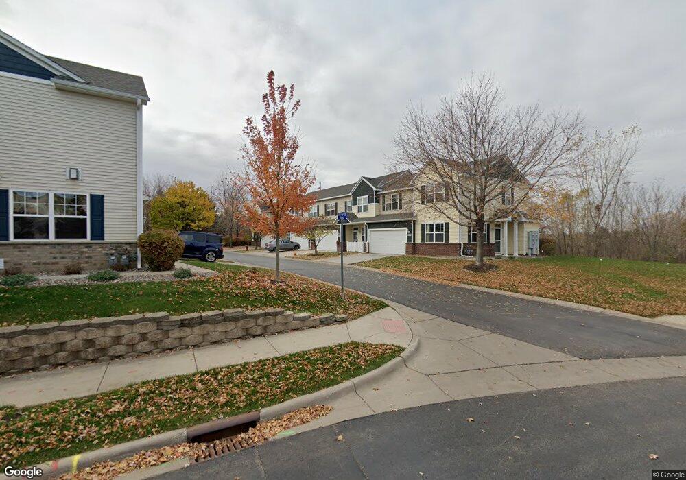
1955 Sierra Dr Hastings, MN 55033
Hastings-Marshan Township NeighborhoodEstimated Value: $275,583 - $299,000
2
Beds
3
Baths
1,497
Sq Ft
$190/Sq Ft
Est. Value
About This Home
This home is located at 1955 Sierra Dr, Hastings, MN 55033 and is currently estimated at $284,396, approximately $189 per square foot. 1955 Sierra Dr is a home located in Dakota County with nearby schools including Christa Mcauliffe Elementary School, Hastings Middle School, and Hastings High School.
Ownership History
Date
Name
Owned For
Owner Type
Purchase Details
Closed on
Mar 1, 2021
Sold by
Davidson Kristin N
Bought by
Roerick Jacob J
Current Estimated Value
Home Financials for this Owner
Home Financials are based on the most recent Mortgage that was taken out on this home.
Original Mortgage
$218,500
Outstanding Balance
$195,969
Interest Rate
2.73%
Mortgage Type
New Conventional
Estimated Equity
$88,427
Purchase Details
Closed on
Feb 16, 2010
Sold by
U S Bank
Bought by
Davidson Kristin N
Purchase Details
Closed on
Jan 16, 2007
Sold by
Centex Homes Minnesota Division
Bought by
Kelton Chadwick C and Kelton Rachael L
Create a Home Valuation Report for This Property
The Home Valuation Report is an in-depth analysis detailing your home's value as well as a comparison with similar homes in the area
Home Values in the Area
Average Home Value in this Area
Purchase History
| Date | Buyer | Sale Price | Title Company |
|---|---|---|---|
| Roerick Jacob J | $230,000 | Dca Title | |
| Davidson Kristin N | $130,900 | -- | |
| Kelton Chadwick C | $195,690 | -- | |
| Roerick Jacob Jacob | $230,000 | -- |
Source: Public Records
Mortgage History
| Date | Status | Borrower | Loan Amount |
|---|---|---|---|
| Open | Roerick Jacob J | $218,500 | |
| Closed | Roerick Jacob Jacob | $218,500 |
Source: Public Records
Tax History Compared to Growth
Tax History
| Year | Tax Paid | Tax Assessment Tax Assessment Total Assessment is a certain percentage of the fair market value that is determined by local assessors to be the total taxable value of land and additions on the property. | Land | Improvement |
|---|---|---|---|---|
| 2024 | $2,902 | $261,800 | $45,700 | $216,100 |
| 2023 | $2,902 | $262,400 | $45,400 | $217,000 |
| 2022 | $2,344 | $249,000 | $45,300 | $203,700 |
| 2021 | $2,044 | $205,700 | $39,400 | $166,300 |
| 2020 | $2,042 | $181,900 | $37,600 | $144,300 |
| 2019 | $1,954 | $176,400 | $35,800 | $140,600 |
| 2018 | $1,926 | $162,600 | $34,100 | $128,500 |
| 2017 | $1,778 | $156,200 | $32,500 | $123,700 |
| 2016 | $1,655 | $146,200 | $30,300 | $115,900 |
| 2015 | $1,442 | $110,128 | $23,785 | $86,343 |
| 2014 | -- | $95,849 | $21,902 | $73,947 |
| 2013 | -- | $77,319 | $18,024 | $59,295 |
Source: Public Records
Map
Nearby Homes
- 1960 Rose Way
- 1967 Sierra Dr Unit 303
- 1882 13th St W Unit 802
- 2725 General Sieben Dr
- 1767 Carleton Place
- 2109 Westpointe Dr
- 2117 Westpointe Dr
- 1832 Ridgepointe N
- 2120 Ridge Pointe Dr
- 2157 Westpointe Dr
- 2173 Westpointe Dr
- 1817 Ridgepointe Ct
- 2160 Ridge Pointe Dr
- 2189 Westpointe Dr
- 1824 Fallbrooke Dr
- 1811 Fallbrooke Dr
- Hudson Plan at Heritage Ridge - Villas
- Sully Plan at Heritage Ridge - Villas
- Riley Plan at Heritage Ridge - Villas
- Arlow Plan at Heritage Ridge - Villas
- 1955 Sierra Dr Unit 1803
- 1957 Sierra Dr
- 1953 Sierra Dr
- 1959 Sierra Dr
- 1959 Sierra Dr Unit 1801
- 1947 Sierra Dr
- 1947 Sierra Dr Unit 1703
- 1945 Sierra Dr
- 1943 Sierra Dr
- 1949 Sierra Dr
- 1963 Sierra Dr
- 1935 Sierra Dr
- 1937 Sierra Dr
- 1937 Sierra Dr Unit 1602
- 1933 Sierra Dr
- 1912 Rose Way
- 1948 Rose Way
- 1938 Rose Way
- 1962 Rose Way
- 1958 Rose Way