19552 Memory Cir Hutchinson, MN 55350
Estimated Value: $422,000 - $467,000
3
Beds
3
Baths
1,372
Sq Ft
$324/Sq Ft
Est. Value
About This Home
This home is located at 19552 Memory Cir, Hutchinson, MN 55350 and is currently estimated at $444,211, approximately $323 per square foot. 19552 Memory Cir is a home located in McLeod County with nearby schools including Hutchinson West Elementary School, Hutchinson Park Elementary School, and Hutchinson Middle School.
Ownership History
Date
Name
Owned For
Owner Type
Purchase Details
Closed on
May 26, 2020
Sold by
Jensen Michael S
Bought by
Jensen Michael S and Schmidt Shelley J
Current Estimated Value
Home Financials for this Owner
Home Financials are based on the most recent Mortgage that was taken out on this home.
Original Mortgage
$254,670
Outstanding Balance
$226,166
Interest Rate
3.3%
Mortgage Type
New Conventional
Estimated Equity
$218,045
Purchase Details
Closed on
Sep 7, 2017
Sold by
Mccormick Paul J
Bought by
Jensen Michael S
Home Financials for this Owner
Home Financials are based on the most recent Mortgage that was taken out on this home.
Original Mortgage
$256
Interest Rate
3.9%
Mortgage Type
Purchase Money Mortgage
Create a Home Valuation Report for This Property
The Home Valuation Report is an in-depth analysis detailing your home's value as well as a comparison with similar homes in the area
Home Values in the Area
Average Home Value in this Area
Purchase History
| Date | Buyer | Sale Price | Title Company |
|---|---|---|---|
| Jensen Michael S | -- | None Available | |
| Jensen Michael S | -- | Crow River Title Guaranty In |
Source: Public Records
Mortgage History
| Date | Status | Borrower | Loan Amount |
|---|---|---|---|
| Open | Jensen Michael S | $254,670 | |
| Previous Owner | Jensen Michael S | $256 |
Source: Public Records
Tax History Compared to Growth
Tax History
| Year | Tax Paid | Tax Assessment Tax Assessment Total Assessment is a certain percentage of the fair market value that is determined by local assessors to be the total taxable value of land and additions on the property. | Land | Improvement |
|---|---|---|---|---|
| 2024 | $4,116 | $436,300 | $121,500 | $314,800 |
| 2023 | $3,848 | $408,500 | $116,200 | $292,300 |
| 2022 | $3,056 | $367,900 | $105,800 | $262,100 |
| 2021 | $3,352 | $277,800 | $81,500 | $196,300 |
| 2020 | $2,982 | $277,800 | $81,500 | $196,300 |
| 2019 | $2,464 | $247,400 | $81,500 | $165,900 |
| 2018 | $2,178 | $0 | $0 | $0 |
| 2017 | $2,094 | $0 | $0 | $0 |
| 2016 | $2,082 | $0 | $0 | $0 |
| 2015 | $1,812 | $0 | $0 | $0 |
| 2014 | -- | $0 | $0 | $0 |
Source: Public Records
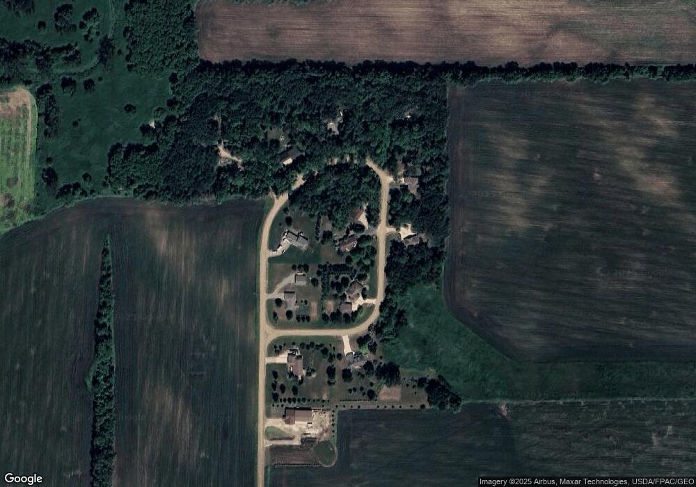
Map
Nearby Homes
- XXX Cr4 Major Ave
- 839 Hilltop Dr NE
- 21243 Kale Dr
- 505/515 Hilltop Canyon NE
- 1025 5th Ave SE
- 321 Highway 7 E
- 16796 220th St
- 648 Bluff St NE
- 16869 220th St
- 584 Bluff St NE
- 635 Hillcrest Rd NE
- 207 4th Ave NE
- 455 Bluff St NE
- 727 Ash St NE
- 22242 Pheasant Ct
- 205 Adams St SE
- 1534 9th Ave SW
- 315 Adams St SE
- 510 Monroe St SE
- 225 10th Ave NE
- 19436 Memory Cir
- 19528 Memory Cir
- 19528 Memory Cir
- 19334 Memory Cir
- 19388 Memory Cir
- 19614 Memory Cir
- 19440 Memory Cir
- 19672 Memory Cir
- 19686 Memory Cir
- 19329 Memory Cir
- 19329 Memory Cir
- 19374 Memory Cir
- 19374 Memory Cir
- 19417 Memory Cir
- 19417 Memory Cir
- 14596 Highway 7 E
- 19345 Major Ave
- 14848 Highway 7 E
- 14848 Highway 7 E
- 14697 Minnesota 7