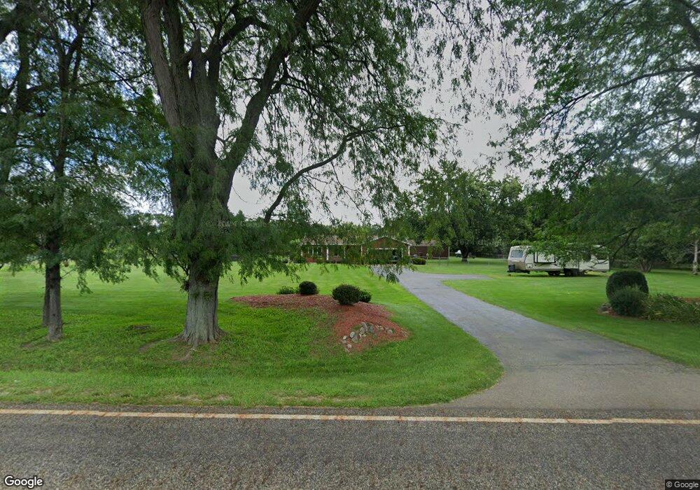
19553 Homer Rd Marshall, MI 49068
Estimated Value: $273,000 - $326,000
3
Beds
2
Baths
1,911
Sq Ft
$155/Sq Ft
Est. Value
About This Home
This home is located at 19553 Homer Rd, Marshall, MI 49068 and is currently estimated at $295,792, approximately $154 per square foot. 19553 Homer Rd is a home located in Calhoun County with nearby schools including Harrington Elementary School, Marshall High School, and Marshall Academy.
Ownership History
Date
Name
Owned For
Owner Type
Purchase Details
Closed on
Sep 9, 2005
Sold by
Waito Kenn P and Waito Cara A Beyeler
Bought by
Whitcomb Daniel S and Whitcomb Jayne L
Current Estimated Value
Home Financials for this Owner
Home Financials are based on the most recent Mortgage that was taken out on this home.
Original Mortgage
$85,000
Interest Rate
5.93%
Mortgage Type
Fannie Mae Freddie Mac
Purchase Details
Closed on
Jun 27, 2003
Sold by
Beyeler Cara A and Waito Cara A Beyeler
Bought by
Waito Kenn P and Waito Cara A Beyeler
Purchase Details
Closed on
Feb 11, 2003
Sold by
Beyeler Cara A
Bought by
Waito Cara B and Waito Kenn P
Purchase Details
Closed on
Sep 29, 1997
Sold by
Beyeler Cara A
Create a Home Valuation Report for This Property
The Home Valuation Report is an in-depth analysis detailing your home's value as well as a comparison with similar homes in the area
Home Values in the Area
Average Home Value in this Area
Purchase History
| Date | Buyer | Sale Price | Title Company |
|---|---|---|---|
| Whitcomb Daniel S | $186,000 | Fatic | |
| Waito Kenn P | -- | -- | |
| Waito Kenn P | -- | -- | |
| Waito Cara B | -- | -- | |
| -- | $131,500 | -- |
Source: Public Records
Mortgage History
| Date | Status | Borrower | Loan Amount |
|---|---|---|---|
| Closed | Whitcomb Daniel S | $85,000 |
Source: Public Records
Tax History Compared to Growth
Tax History
| Year | Tax Paid | Tax Assessment Tax Assessment Total Assessment is a certain percentage of the fair market value that is determined by local assessors to be the total taxable value of land and additions on the property. | Land | Improvement |
|---|---|---|---|---|
| 2025 | $2,681 | $110,380 | $0 | $0 |
| 2024 | $934 | $120,090 | $0 | $0 |
| 2023 | -- | $105,680 | $0 | $0 |
| 2022 | $847 | $90,370 | $0 | $0 |
| 2021 | $2,336 | $83,510 | $0 | $0 |
| 2020 | $2,336 | $105,700 | $0 | $0 |
| 2019 | $0 | $99,370 | $0 | $0 |
| 2018 | $0 | $87,520 | $21,130 | $66,390 |
| 2017 | $0 | $77,850 | $0 | $0 |
| 2016 | $0 | $79,720 | $0 | $0 |
| 2015 | -- | $65,360 | $44,537 | $20,823 |
| 2014 | -- | $67,100 | $44,537 | $22,563 |
Source: Public Records
Map
Nearby Homes
- 10505 18 1 2 Mile Rd
- 18493 Homer Rd
- 0 Homer Rd
- 18901 B Dr N
- 8475 18 1 2 Mile Rd
- 840 River Rd
- 802 Clinton St
- 606 Clinton St
- 1039 Rose St
- 1050 Rebecca St Unit 18
- 127 Circle Dr
- 1031 Rebecca St Unit 12
- 1037 Rebecca St Unit 9
- The Rosedale Paired Plan at Emerald Hills
- The Redhill Paired Plan at Emerald Hills
- The Iris Paired Plan at Emerald Hills
- 1023 Rebecca St Unit 16
- 318 Locust St
- 610 E Hanover St
- 307 Locust St
- 19543 Homer Rd
- 19645 Homer Rd
- 19539 Homer Rd
- 19651 Homer Rd
- 19501 B Dr S
- 19535 Homer Rd
- 19683 Homer Rd
- 19527 Homer Rd
- 19529 Homer Rd
- 19503 Homer Rd
- 19497 Homer Rd
- 19521 Homer Rd
- 20105 19 1 2 Mile Rd
- 19910 19 1 2 Mile Rd
- 21079 19 1 2 Mile Rd
- 19880 B Dr S
- 0000 Homer Rd
- 19755 D Dr S
- 10550 19 1/2 Mile Rd
- 19890 B Dr S