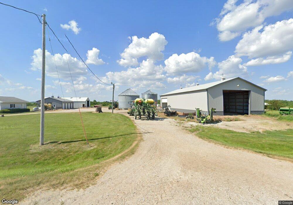
19557 S23 Hwy Milo, IA 50166
Warren County NeighborhoodEstimated Value: $268,000 - $575,698
3
Beds
2
Baths
1,344
Sq Ft
$300/Sq Ft
Est. Value
About This Home
This home is located at 19557 S23 Hwy, Milo, IA 50166 and is currently estimated at $403,175, approximately $299 per square foot. 19557 S23 Hwy is a home located in Warren County with nearby schools including Southeast Warren Primary School, Southeast Warren Intermediate School, and Southeast Warren Junior/Senior High School.
Ownership History
Date
Name
Owned For
Owner Type
Purchase Details
Closed on
Jun 12, 2017
Sold by
Thompson Gary L and Thompson Brenda S
Bought by
Reynolds Dee Jay
Current Estimated Value
Home Financials for this Owner
Home Financials are based on the most recent Mortgage that was taken out on this home.
Original Mortgage
$214,500
Outstanding Balance
$177,990
Interest Rate
4.02%
Mortgage Type
Future Advance Clause Open End Mortgage
Estimated Equity
$225,185
Purchase Details
Closed on
Oct 11, 2007
Sold by
Dyer Ophannee Noi and Dyer Phannee
Bought by
Reynolds Dee Jay and Reynolds Garrett
Home Financials for this Owner
Home Financials are based on the most recent Mortgage that was taken out on this home.
Original Mortgage
$11,000
Interest Rate
6.5%
Mortgage Type
Future Advance Clause Open End Mortgage
Create a Home Valuation Report for This Property
The Home Valuation Report is an in-depth analysis detailing your home's value as well as a comparison with similar homes in the area
Home Values in the Area
Average Home Value in this Area
Purchase History
| Date | Buyer | Sale Price | Title Company |
|---|---|---|---|
| Reynolds Dee Jay | $330,000 | None Available | |
| Reynolds Dee Jay | $120,000 | None Available |
Source: Public Records
Mortgage History
| Date | Status | Borrower | Loan Amount |
|---|---|---|---|
| Open | Reynolds Dee Jay | $214,500 | |
| Previous Owner | Reynolds Dee Jay | $11,000 |
Source: Public Records
Tax History Compared to Growth
Tax History
| Year | Tax Paid | Tax Assessment Tax Assessment Total Assessment is a certain percentage of the fair market value that is determined by local assessors to be the total taxable value of land and additions on the property. | Land | Improvement |
|---|---|---|---|---|
| 2025 | $4,018 | $318,500 | $35,500 | $283,000 |
| 2024 | $3,932 | $308,900 | $25,300 | $283,600 |
| 2023 | $2,998 | $308,900 | $25,300 | $283,600 |
| 2022 | $2,774 | $211,700 | $19,500 | $192,200 |
| 2021 | $2,880 | $213,500 | $21,300 | $192,200 |
| 2020 | $2,880 | $204,800 | $22,200 | $182,600 |
| 2019 | $2,890 | $204,800 | $22,200 | $182,600 |
| 2018 | $3,142 | $158,300 | $0 | $0 |
| 2017 | $3,104 | $158,300 | $0 | $0 |
| 2016 | $2,982 | $206,000 | $0 | $0 |
| 2015 | $2,982 | $146,000 | $0 | $0 |
| 2014 | $3,012 | $212,300 | $0 | $0 |
Source: Public Records
Map
Nearby Homes
- 0000 Polk St
- 0000 210th St
- 0000 210th St St
- 18377 Quincy St
- 308 S 3rd St
- 209 N 2nd St
- 329 Spruce St
- 0 Tyler St
- 18074 240th Ave
- 0000 G76 Ave
- 580 N Central Ave
- 105 E Lacona St
- 115 N Vine Ave
- 105 N East Ave
- 320 E Main St Unit L
- 0 Highway G76 Unit NOC6329764
- 218 S Central Ave
- 209 S Vine Ave
- 222 S East Ave
- 0 Hwy G76 & 190th Ave Unit 722395