1956 235th Ave West Point, IA 52656
Estimated Value: $257,000 - $345,832
3
Beds
4
Baths
1,668
Sq Ft
$184/Sq Ft
Est. Value
About This Home
This home is located at 1956 235th Ave, West Point, IA 52656 and is currently estimated at $307,708, approximately $184 per square foot. 1956 235th Ave is a home located in Lee County with nearby schools including Central Lee Elementary School, Central Lee Middle School, and Central Lee High School.
Ownership History
Date
Name
Owned For
Owner Type
Purchase Details
Closed on
Oct 8, 2019
Sold by
Steffensmeier David J and Steffensmeier Carrie L
Bought by
Knustrom Marcus M and Knustrom Kelly L
Current Estimated Value
Home Financials for this Owner
Home Financials are based on the most recent Mortgage that was taken out on this home.
Original Mortgage
$215,000
Interest Rate
3.4%
Mortgage Type
New Conventional
Create a Home Valuation Report for This Property
The Home Valuation Report is an in-depth analysis detailing your home's value as well as a comparison with similar homes in the area
Home Values in the Area
Average Home Value in this Area
Purchase History
| Date | Buyer | Sale Price | Title Company |
|---|---|---|---|
| Knustrom Marcus M | $215,000 | -- |
Source: Public Records
Mortgage History
| Date | Status | Borrower | Loan Amount |
|---|---|---|---|
| Closed | Knustrom Marcus M | $215,000 |
Source: Public Records
Tax History Compared to Growth
Tax History
| Year | Tax Paid | Tax Assessment Tax Assessment Total Assessment is a certain percentage of the fair market value that is determined by local assessors to be the total taxable value of land and additions on the property. | Land | Improvement |
|---|---|---|---|---|
| 2024 | $3,288 | $276,220 | $27,980 | $248,240 |
| 2023 | $3,176 | $276,220 | $27,980 | $248,240 |
| 2022 | $2,726 | $207,440 | $24,330 | $183,110 |
| 2021 | $2,726 | $207,440 | $24,330 | $183,110 |
| 2020 | $2,490 | $190,320 | $25,790 | $164,530 |
| 2019 | $2,292 | $190,320 | $25,790 | $164,530 |
| 2018 | $2,376 | $166,550 | $0 | $0 |
| 2017 | $2,376 | $159,070 | $0 | $0 |
| 2016 | $2,166 | $159,070 | $0 | $0 |
| 2015 | $2,166 | $155,490 | $0 | $0 |
| 2014 | $2,060 | $155,490 | $0 | $0 |
Source: Public Records
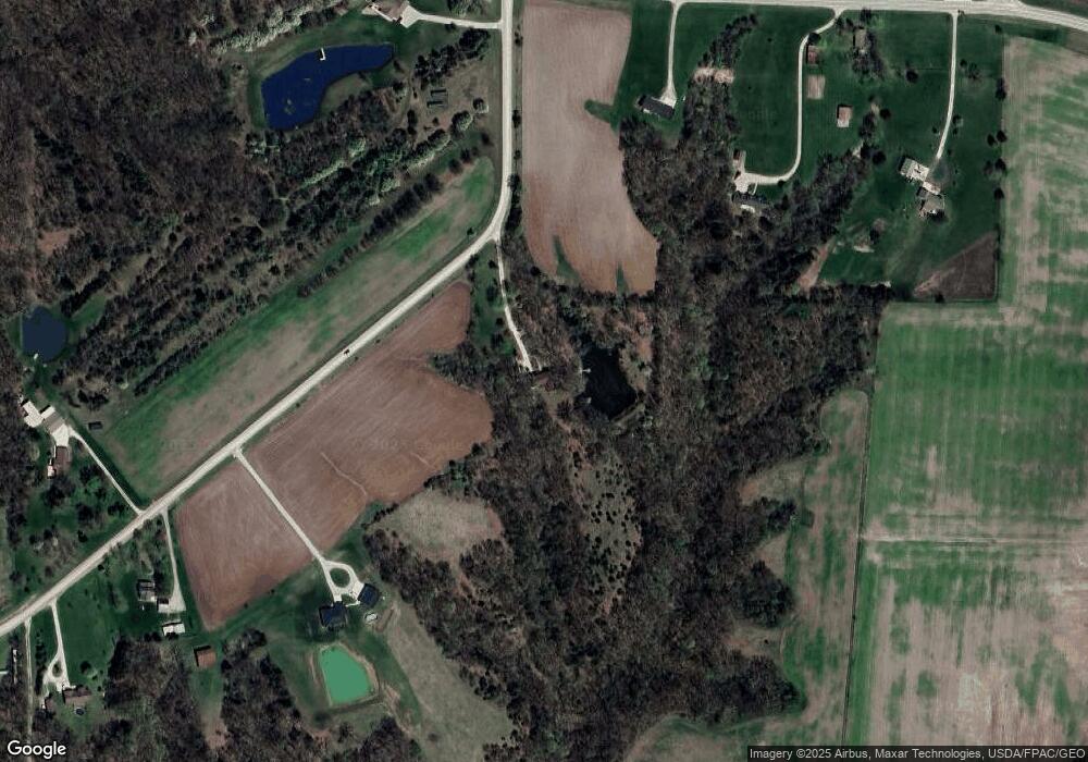
Map
Nearby Homes
- 2257 Burt Rd
- 607 Bel Air Dr
- 811 Avenue C
- 2657 Clearview Heights Rd
- 2280 Windmill Way
- 5635 Bluff Rd
- 6119 Reve Ct
- 2229 235th St
- 2794 221st St
- 4601 River Bend Sub Lot 4
- 2798 River Hills Rd
- 4945 Grand View Ln Unit 4945
- 2113 204th Ave
- 407 48th St
- 0 N Hillview Vil
- 2942 Four Seasons Rd
- 304 35th St Unit 102
- 706 34th Place
- 806 34th St
- 3401 Avenue L
- 1953 W Point Rd
- 1947 W Point Rd
- 1947 235th Ave
- 1955 W Point Rd
- 1966 235th Ave
- 1967 235th Ave
- 1942 W Point Rd
- 1970 235th Ave
- 1940 W Point Rd
- 1975 235th Ave
- 1974 235th Ave
- 1935 W Point Rd
- 1944 Otte Rd
- 1964 W Point Rd
- 1960 W Point Rd
- 1934 Otte Rd
- 1974 W Point Rd
- 1930 Otte Rd
- 1925 W Point Rd
- 1926 Otte Rd