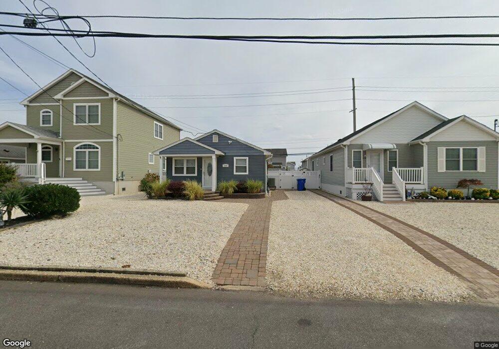
1956 W Railway Ave Seaside Heights, NJ 08751
Dover Beaches South NeighborhoodEstimated Value: $651,885 - $790,000
3
Beds
1
Bath
792
Sq Ft
$937/Sq Ft
Est. Value
About This Home
This home is located at 1956 W Railway Ave, Seaside Heights, NJ 08751 and is currently estimated at $742,471, approximately $937 per square foot. 1956 W Railway Ave is a home located in Ocean County.
Ownership History
Date
Name
Owned For
Owner Type
Purchase Details
Closed on
Sep 5, 2008
Sold by
Webb Timothy J and Webb Deborah A
Bought by
Cortese Andrew and Cortese Adele
Current Estimated Value
Home Financials for this Owner
Home Financials are based on the most recent Mortgage that was taken out on this home.
Original Mortgage
$225,000
Outstanding Balance
$149,800
Interest Rate
6.54%
Mortgage Type
Purchase Money Mortgage
Estimated Equity
$592,671
Purchase Details
Closed on
Jun 25, 2004
Sold by
Webb Timothy J and Beeg Deborah A
Bought by
Webb Timothy J and Webb Deborah A
Purchase Details
Closed on
May 22, 1998
Sold by
Calice Rosemarie
Bought by
Webb Timothy J and Beeg Deborah A
Create a Home Valuation Report for This Property
The Home Valuation Report is an in-depth analysis detailing your home's value as well as a comparison with similar homes in the area
Home Values in the Area
Average Home Value in this Area
Purchase History
| Date | Buyer | Sale Price | Title Company |
|---|---|---|---|
| Cortese Andrew | $425,000 | None Available | |
| Webb Timothy J | -- | Black Page Title Agency Inc | |
| Webb Timothy J | $119,000 | -- |
Source: Public Records
Mortgage History
| Date | Status | Borrower | Loan Amount |
|---|---|---|---|
| Open | Cortese Andrew | $225,000 |
Source: Public Records
Tax History Compared to Growth
Tax History
| Year | Tax Paid | Tax Assessment Tax Assessment Total Assessment is a certain percentage of the fair market value that is determined by local assessors to be the total taxable value of land and additions on the property. | Land | Improvement |
|---|---|---|---|---|
| 2025 | $5,989 | $328,900 | $275,000 | $53,900 |
| 2024 | $5,693 | $328,900 | $275,000 | $53,900 |
| 2023 | $5,489 | $328,900 | $275,000 | $53,900 |
| 2022 | $5,489 | $328,900 | $275,000 | $53,900 |
| 2021 | $5,554 | $221,700 | $151,700 | $70,000 |
| 2020 | $5,529 | $221,700 | $151,700 | $70,000 |
| 2019 | $5,290 | $221,700 | $151,700 | $70,000 |
| 2018 | $5,219 | $221,700 | $151,700 | $70,000 |
| 2017 | $5,174 | $221,700 | $151,700 | $70,000 |
| 2016 | $5,039 | $221,700 | $151,700 | $70,000 |
| 2015 | $4,849 | $221,700 | $151,700 | $70,000 |
| 2014 | $4,616 | $221,700 | $151,700 | $70,000 |
Source: Public Records
Map
Nearby Homes
- 7 Nichols Ave
- 229 2nd Ave
- 16 5th Ave
- 2030 New Jersey 35 Unit 8
- 2033 New Jersey 35
- 2033 Route 35 N Unit 3
- 1820 E Pennsylvania Ave Unit 10
- 2 2nd Ave Unit 15
- 1 Diane Ln Unit B
- 1 Diane Ln Unit A
- 1 7th Ave
- 2400 Oceanfront
- 49 Fort Ave
- 67 Coolidge Ave Unit A
- 99 Coolidge Ave
- 2101 Grand Central Ave Unit 3
- 1709 Route 35 N Unit 9
- 1709 Route 35 N
- 108 Dickman Dr
- 1707 Bay Blvd Unit 4
- 1940 Railway Ave W
- 1958 W Railway Ave
- 1954 W Railway Ave
- 1952 W Railway Ave
- 1960 W Railway Ave
- 1962 W Railway Ave
- 1950 Railway Ave W
- 1964 W Railway Ave
- 215 Dellmuth Ave
- 210 4th Ave
- 1955 Railway Ave E
- 1983 W Railway Ave
- 1961 Railway Ave E
- 1966 W Railway Ave
- 1946 Railway Ave W
- 1948 W Railway Ave
- 1959 E Railway Ave
- 1957 E Railway Ave
- 1955 E Railway Ave
- 213 Dellmuth Ave