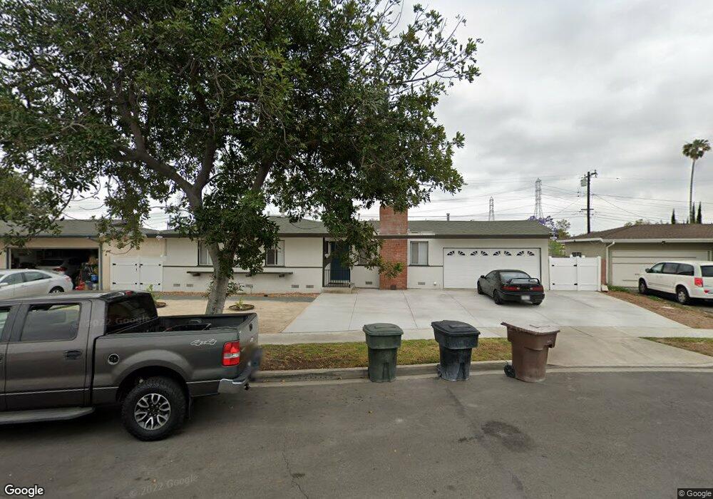
1956 W Sloop Ave Anaheim, CA 92804
West Anaheim NeighborhoodEstimated Value: $904,000 - $1,028,000
3
Beds
2
Baths
1,527
Sq Ft
$622/Sq Ft
Est. Value
About This Home
This home is located at 1956 W Sloop Ave, Anaheim, CA 92804 and is currently estimated at $949,149, approximately $621 per square foot. 1956 W Sloop Ave is a home located in Orange County with nearby schools including James Madison Elementary School, Ball Junior High School, and Loara High School.
Ownership History
Date
Name
Owned For
Owner Type
Purchase Details
Closed on
Jun 10, 2021
Sold by
Vo Helene D
Bought by
Invesco Partners Llc
Current Estimated Value
Purchase Details
Closed on
Oct 7, 1998
Sold by
Kiliany David L and May Nancy May
Bought by
Vo Them Quang and Vo Helene D
Home Financials for this Owner
Home Financials are based on the most recent Mortgage that was taken out on this home.
Original Mortgage
$150,400
Interest Rate
6.61%
Create a Home Valuation Report for This Property
The Home Valuation Report is an in-depth analysis detailing your home's value as well as a comparison with similar homes in the area
Home Values in the Area
Average Home Value in this Area
Purchase History
| Date | Buyer | Sale Price | Title Company |
|---|---|---|---|
| Invesco Partners Llc | $650,000 | Provident Title Company | |
| Vo Them Quang | $188,000 | Commonwealth Land Title |
Source: Public Records
Mortgage History
| Date | Status | Borrower | Loan Amount |
|---|---|---|---|
| Previous Owner | Vo Them Quang | $150,400 |
Source: Public Records
Tax History
| Year | Tax Paid | Tax Assessment Tax Assessment Total Assessment is a certain percentage of the fair market value that is determined by local assessors to be the total taxable value of land and additions on the property. | Land | Improvement |
|---|---|---|---|---|
| 2025 | $7,972 | $703,580 | $625,599 | $77,981 |
| 2024 | $7,972 | $689,785 | $613,333 | $76,452 |
| 2023 | $7,807 | $676,260 | $601,307 | $74,953 |
| 2022 | $7,713 | $663,000 | $589,516 | $73,484 |
| 2021 | $3,368 | $272,273 | $192,905 | $79,368 |
| 2020 | $3,352 | $269,482 | $190,927 | $78,555 |
| 2019 | $3,255 | $264,199 | $187,184 | $77,015 |
| 2018 | $3,188 | $259,019 | $183,514 | $75,505 |
| 2017 | $3,064 | $253,941 | $179,916 | $74,025 |
| 2016 | $3,053 | $248,962 | $176,388 | $72,574 |
| 2015 | $3,024 | $245,223 | $173,739 | $71,484 |
| 2014 | $2,841 | $240,420 | $170,336 | $70,084 |
Source: Public Records
Map
Nearby Homes
- 1632 S Songish St
- 1447 S Easy Way
- 2011 W Katella Ave Unit 3
- 2106 W Forest Ln
- 1669 S Heritage Cir Unit C
- 11052 Faye Ave
- 1250 S Brookhurst St Unit 2050
- 1250 S Brookhurst St Unit 1109
- 1250 S Brookhurst St Unit 2080
- 1250 S Brookhurst St Unit 2033
- 1250 S Brookhurst St
- 1250 S Brookhurst St Unit 1059
- 1765 S Biscayne Ct
- 9802 Chanticleer Rd
- 10622 Tibbs Cir
- 10511 Dewey Dr
- 1770 W Goodhue Ave
- 1645 S Euclid St
- 11151 Clarissa St
- 1675 W Mells Ln
- 1950 W Sloop Ave
- 1960 W Sloop Ave
- 2015 W Cris Ave
- 2019 W Cris Ave
- 2011 W Cris Ave
- 2025 W Cris Ave
- 1946 W Sloop Ave
- 1533 S Bettes Place
- 1957 W Sloop Ave
- 1951 W Sloop Ave
- 1529 S Bettes Place
- 2005 W Cris Ave
- 2029 W Cris Ave
- 1942 W Sloop Ave
- 1947 W Sloop Ave
- 1536 S Dallas Dr
- 1532 S Dallas Dr
- 1523 S Bettes Place
- 2001 W Cris Ave
- 1956 W Harle Ave
Your Personal Tour Guide
Ask me questions while you tour the home.