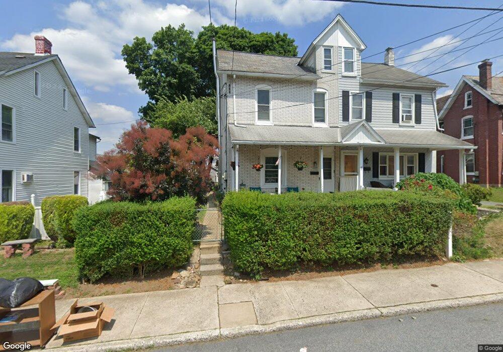
1957 S 5th St Unit 1959 Allentown, PA 18103
Southside NeighborhoodEstimated Value: $204,000 - $307,000
3
Beds
2
Baths
2,104
Sq Ft
$125/Sq Ft
Est. Value
About This Home
This home is located at 1957 S 5th St Unit 1959, Allentown, PA 18103 and is currently estimated at $262,970, approximately $124 per square foot. 1957 S 5th St Unit 1959 is a home located in Lehigh County with nearby schools including Hiram W Dodd Elementary School, South Mountain Middle School, and Louis E. Dieruff High School.
Ownership History
Date
Name
Owned For
Owner Type
Purchase Details
Closed on
Jul 3, 2025
Sold by
Werley Jeffry F and Steely Deborah A
Bought by
Steely Linda M
Current Estimated Value
Purchase Details
Closed on
Apr 29, 2011
Sold by
Stankiewicz Ronald
Bought by
Werley Jeffry F
Purchase Details
Closed on
Nov 19, 1986
Sold by
Merbah William
Bought by
Merbah Nancy B
Purchase Details
Closed on
Feb 26, 1981
Bought by
Merbah William
Create a Home Valuation Report for This Property
The Home Valuation Report is an in-depth analysis detailing your home's value as well as a comparison with similar homes in the area
Home Values in the Area
Average Home Value in this Area
Purchase History
| Date | Buyer | Sale Price | Title Company |
|---|---|---|---|
| Steely Linda M | -- | None Listed On Document | |
| Werley Jeffry F | $83,000 | -- | |
| Merbah Nancy B | -- | -- | |
| Merbah William | $36,500 | -- |
Source: Public Records
Tax History Compared to Growth
Tax History
| Year | Tax Paid | Tax Assessment Tax Assessment Total Assessment is a certain percentage of the fair market value that is determined by local assessors to be the total taxable value of land and additions on the property. | Land | Improvement |
|---|---|---|---|---|
| 2025 | $3,174 | $90,000 | $20,700 | $69,300 |
| 2024 | $3,174 | $90,000 | $20,700 | $69,300 |
| 2023 | $3,174 | $90,000 | $20,700 | $69,300 |
| 2022 | $3,071 | $90,000 | $69,300 | $20,700 |
| 2021 | $3,015 | $90,000 | $20,700 | $69,300 |
| 2020 | $2,943 | $90,000 | $20,700 | $69,300 |
| 2019 | $2,899 | $90,000 | $20,700 | $69,300 |
| 2018 | $2,671 | $90,000 | $20,700 | $69,300 |
| 2017 | $2,608 | $90,000 | $20,700 | $69,300 |
| 2016 | -- | $90,000 | $20,700 | $69,300 |
| 2015 | -- | $90,000 | $20,700 | $69,300 |
| 2014 | -- | $90,000 | $20,700 | $69,300 |
Source: Public Records
Map
Nearby Homes
- 206 208 W Emaus Ave
- 566 W Emaus Ave
- 566 588 W Emaus Ave
- 2347 S Law St Unit 2349
- 1852 S 2nd St
- 2416 S Alice St Unit 2418
- 148 W Brookdale St
- 203 W Brookdale St
- 2441 S 4th St
- 1831 S Church St
- 642 W Emaus Ave
- 102 W Brookdale St
- 2401 S Church St
- 135 W Wabash St
- 2413 S Church St
- 2429 S Front St
- 2421 S Wood St
- 316 W Mountain Rd
- 1865 Chapel Ave
- 121 Woodcrest Cir
- 1961 S 5th St
- 1951 S 5th St Unit 1955
- 1965 S 5th St Unit 1969
- 1971 S 5th St Unit 1975
- 1946 S 5th St
- 1958 S 5th St
- 1977 S 5th St Unit 1981
- 1977 S 5th St
- 1977 S 5th St Unit 2
- 1954 S 4th St
- 1952 S 4th St
- 1964 S 5th St
- 1970 S 5th St
- 1966 S 5th St
- 1949 S 5th St Unit 101
- 1974 S 5th St
- 1968 S 5th St
- 1976 S 5th St
- 1985 S 5th St
- 1972 S 5th St