19570 S Highway 169 Spring Hill, KS 66083
Estimated Value: $345,000 - $489,838
3
Beds
2
Baths
1,628
Sq Ft
$262/Sq Ft
Est. Value
About This Home
This home is located at 19570 S Highway 169, Spring Hill, KS 66083 and is currently estimated at $426,210, approximately $261 per square foot. 19570 S Highway 169 is a home with nearby schools including Wolf Creek Elementary School, Spring Hill Middle School, and Spring Hill High School.
Ownership History
Date
Name
Owned For
Owner Type
Purchase Details
Closed on
Dec 23, 2015
Sold by
Vankeirsbilck Thomas J
Bought by
Vankeirsbilck Michael J and Vankeirsbilck Thomas S
Current Estimated Value
Purchase Details
Closed on
May 18, 2006
Sold by
Vankeirsbilck Thomas J and Vankeirsbilck Asta
Bought by
Vankeirsbilck Thomas J and Thomas J Vankeirsbilck Trust
Purchase Details
Closed on
Oct 18, 2005
Sold by
Haynes Robert A and Haynes Hazel M
Bought by
Vankeirsbilck Thomas J and Vankeirsbilck Asta
Create a Home Valuation Report for This Property
The Home Valuation Report is an in-depth analysis detailing your home's value as well as a comparison with similar homes in the area
Home Values in the Area
Average Home Value in this Area
Purchase History
| Date | Buyer | Sale Price | Title Company |
|---|---|---|---|
| Vankeirsbilck Michael J | -- | None Available | |
| Vankeirsbilck Thomas J | -- | First Ameican Title | |
| Vankeirsbilck Thomas J | -- | First American Title Ins Co |
Source: Public Records
Tax History Compared to Growth
Tax History
| Year | Tax Paid | Tax Assessment Tax Assessment Total Assessment is a certain percentage of the fair market value that is determined by local assessors to be the total taxable value of land and additions on the property. | Land | Improvement |
|---|---|---|---|---|
| 2024 | $4,341 | $37,884 | $16,307 | $21,577 |
| 2023 | $3,901 | $33,312 | $15,228 | $18,084 |
| 2022 | $4,033 | $37,086 | $12,384 | $24,702 |
| 2021 | $3,647 | $29,847 | $10,426 | $19,421 |
| 2020 | $3,675 | $29,810 | $10,396 | $19,414 |
| 2019 | $3,412 | $27,520 | $9,536 | $17,984 |
| 2016 | $2,504 | $20,703 | $8,371 | $12,332 |
| 2015 | $2,437 | $20,128 | $8,242 | $11,886 |
| 2013 | -- | $19,476 | $8,080 | $11,396 |
Source: Public Records
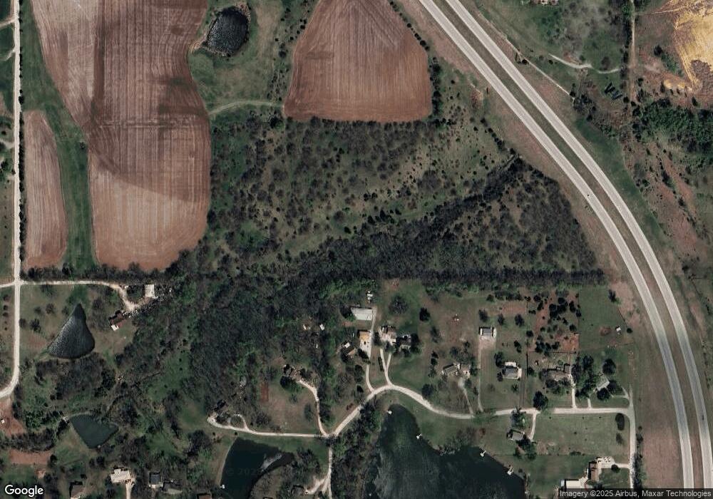
Map
Nearby Homes
- RC Roselyn Plan at Wiswell Farms
- RC Keswick Plan at Wiswell Farms
- Rc Pickett Plan at Wiswell Farms
- Rc Franklin Plan at Wiswell Farms
- RC Bridgeport Plan at Wiswell Farms
- 20385 W 193rd Ln
- RC Wright Plan at Wiswell Farms
- RC Greenfield Plan at Wiswell Farms
- RC Glenwood Plan at Wiswell Farms
- RC Armstrong Plan at Wiswell Farms
- RC Fenway Plan at Wiswell Farms
- RC Foster II Plan at Wiswell Farms
- 20410 W 201st St
- 20921 W 190th Place
- 19720 W 195th Place
- 19721 W 195th Place
- 19716 W 196th St
- 19718 W 195th Place
- 19985 W 199th St
- 19719 W 195th Place
- 21130 W 197th St
- 21135 W 197th St
- 21200 W 197th St
- 21165 W 197th St
- 19515 S Lone Elm Rd
- 21290 W 197th St
- 21225 W 197th St
- 19805 Webster St
- 21350 W 197th St
- 20740 W 199th St
- 21400 W 197th St
- 21385 W 197th St
- 21430 W 197th St
- 19595 S Lone Elm Rd
- 21435 W 197th St
- 19897 Webster St
- 21470 W 197th St
- 20354 W 193rd Terrace
- 21475 W 197th St
- 20600 W 199th St