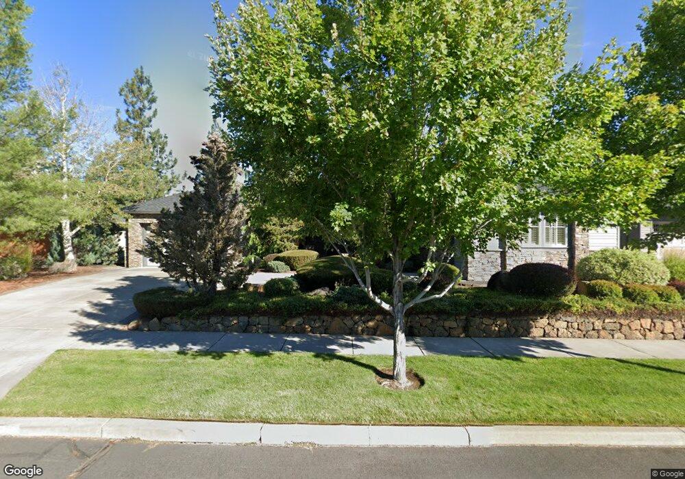
19576 Aster Ln Bend, OR 97702
Southwest Bend NeighborhoodEstimated Value: $1,439,000 - $1,803,000
4
Beds
3
Baths
3,150
Sq Ft
$498/Sq Ft
Est. Value
About This Home
This home is located at 19576 Aster Ln, Bend, OR 97702 and is currently estimated at $1,570,246, approximately $498 per square foot. 19576 Aster Ln is a home located in Deschutes County with nearby schools including Pine Ridge Elementary School, Cascade Middle School, and Bend Senior High School.
Ownership History
Date
Name
Owned For
Owner Type
Purchase Details
Closed on
Jun 30, 2009
Sold by
Sicotte Carla M
Bought by
Sicotte Carla M and The Carla M Sicotte Revocable Trust
Current Estimated Value
Purchase Details
Closed on
Jun 16, 2006
Sold by
Rice Garrett M and Rice David
Bought by
Sicotte Carla M
Purchase Details
Closed on
Nov 10, 2004
Sold by
D R Horton Inc Portland
Bought by
Rice Garrett M and Rice David
Home Financials for this Owner
Home Financials are based on the most recent Mortgage that was taken out on this home.
Original Mortgage
$419,615
Interest Rate
5.25%
Mortgage Type
Unknown
Create a Home Valuation Report for This Property
The Home Valuation Report is an in-depth analysis detailing your home's value as well as a comparison with similar homes in the area
Home Values in the Area
Average Home Value in this Area
Purchase History
| Date | Buyer | Sale Price | Title Company |
|---|---|---|---|
| Sicotte Carla M | -- | None Available | |
| Sicotte Carla M | -- | Amerititle | |
| Rice Garrett M | $750,317 | First Amer Title Ins Co Or |
Source: Public Records
Mortgage History
| Date | Status | Borrower | Loan Amount |
|---|---|---|---|
| Previous Owner | Rice Garrett M | $419,615 |
Source: Public Records
Tax History
| Year | Tax Paid | Tax Assessment Tax Assessment Total Assessment is a certain percentage of the fair market value that is determined by local assessors to be the total taxable value of land and additions on the property. | Land | Improvement |
|---|---|---|---|---|
| 2025 | $13,221 | $808,780 | -- | -- |
| 2024 | $12,720 | $785,230 | -- | -- |
| 2023 | $11,791 | $762,360 | $0 | $0 |
| 2022 | $11,001 | $718,610 | $0 | $0 |
| 2021 | $11,018 | $697,680 | $0 | $0 |
| 2020 | $10,453 | $697,680 | $0 | $0 |
| 2019 | $10,161 | $677,360 | $0 | $0 |
| 2018 | $9,875 | $657,640 | $0 | $0 |
| 2017 | $9,651 | $638,490 | $0 | $0 |
| 2016 | $9,514 | $619,900 | $0 | $0 |
| 2015 | $9,252 | $601,850 | $0 | $0 |
| 2014 | $8,982 | $584,330 | $0 | $0 |
Source: Public Records
Map
Nearby Homes
- 61047 Snowberry Place
- 61041 Chamomile Place
- 19671 Hollygrape St
- 60924 Targee Dr
- 61102 Aspen Rim Ln
- 61192 SW Tall Timber Ct
- 19666 Sunshine Way
- 19744 SW Aspen Ridge Dr
- 19550 Brookside Way
- 19525 Sugar Mill Loop
- 19476 SW Century Dr Unit 1 & 2
- 19476 SW Century Dr
- 19504 SW Century Dr
- 19520 SW Century Dr
- 61389 Campbell Ct
- 19407 Charleswood Ln
- 19556 Sager Loop
- 19580 SW Century Dr
- 19557 Sager Loop
- 19788 Chicory Ave
- 19576 Aster Dr
- 19582 Aster Ln
- 19570 Aster Ln
- 19582 Aster Dr
- 19570 Aster Dr
- 19540 Hollygrape St
- 19558 Aster Ln
- 19544 Hollygrape St
- 19571 Aster Ln
- 19577 Aster Ln
- 19565 Aster Dr
- 19565 Aster Ln
- 19583 Aster Ln
- 19548 Hollygrape St
- 19534 Hollygrape St Unit 60
- 19534 Hollygrape St
- 19543 Aster Ln
- 19530 Hollygrape St
- 19530 Hollygrape St Unit 59
- 61113 Snowbrush Dr
Your Personal Tour Guide
Ask me questions while you tour the home.