1958 Nh Route 175 Thornton, NH 03285
Estimated Value: $495,000 - $526,000
2
Beds
3
Baths
1,851
Sq Ft
$276/Sq Ft
Est. Value
About This Home
This home is located at 1958 Nh Route 175, Thornton, NH 03285 and is currently estimated at $511,165, approximately $276 per square foot. 1958 Nh Route 175 is a home located in Grafton County with nearby schools including Thornton Central School and Plymouth Regional High School.
Ownership History
Date
Name
Owned For
Owner Type
Purchase Details
Closed on
Nov 7, 2025
Sold by
Feather M D M and Feather William H
Bought by
Banville Morgan K and Banville Matthew M
Current Estimated Value
Home Financials for this Owner
Home Financials are based on the most recent Mortgage that was taken out on this home.
Original Mortgage
$270,000
Outstanding Balance
$270,000
Interest Rate
6.3%
Mortgage Type
New Conventional
Estimated Equity
$241,165
Purchase Details
Closed on
Sep 6, 2019
Sold by
Joyce David A
Bought by
Feather M Denise and Feather William H
Create a Home Valuation Report for This Property
The Home Valuation Report is an in-depth analysis detailing your home's value as well as a comparison with similar homes in the area
Home Values in the Area
Average Home Value in this Area
Purchase History
| Date | Buyer | Sale Price | Title Company |
|---|---|---|---|
| Banville Morgan K | $470,000 | -- | |
| Banville Morgan K | $470,000 | -- | |
| Feather M Denise | $289,933 | -- | |
| Feather M Denise | $289,933 | -- |
Source: Public Records
Mortgage History
| Date | Status | Borrower | Loan Amount |
|---|---|---|---|
| Open | Banville Morgan K | $270,000 |
Source: Public Records
Tax History Compared to Growth
Tax History
| Year | Tax Paid | Tax Assessment Tax Assessment Total Assessment is a certain percentage of the fair market value that is determined by local assessors to be the total taxable value of land and additions on the property. | Land | Improvement |
|---|---|---|---|---|
| 2024 | $4,795 | $421,700 | $129,400 | $292,300 |
| 2023 | $4,414 | $212,600 | $64,800 | $147,800 |
| 2022 | $4,254 | $212,600 | $64,800 | $147,800 |
| 2021 | $4,416 | $212,600 | $64,800 | $147,800 |
| 2020 | $5,000 | $212,600 | $64,800 | $147,800 |
| 2019 | $3,971 | $212,600 | $64,800 | $147,800 |
| 2018 | $3,570 | $192,100 | $47,200 | $144,900 |
| 2017 | $3,362 | $172,000 | $47,200 | $124,800 |
| 2016 | $3,335 | $172,000 | $47,200 | $124,800 |
| 2015 | $3,169 | $165,900 | $47,200 | $118,700 |
| 2014 | $3,117 | $165,900 | $47,200 | $118,700 |
| 2013 | $3,167 | $172,700 | $40,700 | $132,000 |
Source: Public Records
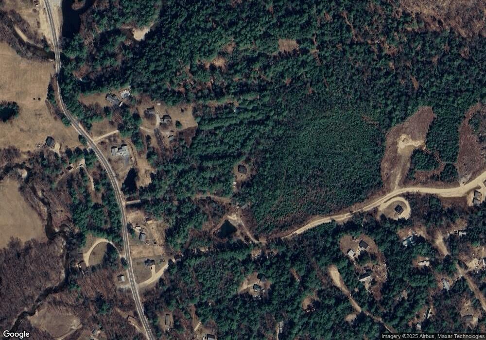
Map
Nearby Homes
- 53 Sunrise Hill Rd
- 151 Millbrook Rd
- 43 Melina's Way
- 22 Compass Point Rd
- 6 Melinas Way
- 3 Melinas Way
- 21 Melina's Way
- 53 Diamond Ledge Rd
- 0 Avery- McGee Rd Unit 6
- 65 Mountain River East Rd Unit 58
- 26 Jack's Run
- 30 Tuxette Rd
- Lot 2 Covered Bridge Rd
- 19 Beacon Hill Rd
- Lot 14 Centennial Way
- 189 Covered Bridge Rd
- Lot 6 Edgewater Ln
- 115 Adams Farm Rd
- 55 Lafayette Rd Unit 2
- 93 Waterthorn Rd
- 1964 Nh Route 175
- 1958 Nh Route 175
- 17 Kings Chair Rd
- 3 Beatrice Ln
- 1980 Nh Route 175
- 86 Old Sawmill Rd Unit 2
- 86 Old Sawmill Rd Unit B
- 86 Old Sawmill Rd Unit A
- 12 Beatrice Ln
- 1952 Nh Route 175
- 1934 Nh Route 175
- 1945 Nh Route 175
- 1941 Nh Route 175
- 60 Old Sawmill Rd
- 1941 New Hampshire Route 175
- 1941 New Hampshire 175
- 3 Main St
- 1925 New Hampshire 175
- 3 Sunrise Hill Rd
- 2 Sugar Shack Rd Unit 2