19587 19587 Kirby Ave S Hastings, MN 55033
Hastings-Marshan Township NeighborhoodEstimated Value: $497,000 - $676,000
4
Beds
2
Baths
2,432
Sq Ft
$245/Sq Ft
Est. Value
About This Home
This home is located at 19587 19587 Kirby Ave S, Hastings, MN 55033 and is currently estimated at $594,715, approximately $244 per square foot. 19587 19587 Kirby Ave S is a home located in Dakota County with nearby schools including Pinecrest Elementary School, Hastings Middle School, and Hastings High School.
Ownership History
Date
Name
Owned For
Owner Type
Purchase Details
Closed on
Jun 13, 2019
Sold by
Mohrbacher Alex P and Mohrbacher Katelyn
Bought by
Lanning Shawn Richard and Lanning Michelle
Current Estimated Value
Home Financials for this Owner
Home Financials are based on the most recent Mortgage that was taken out on this home.
Original Mortgage
$360,000
Outstanding Balance
$316,528
Interest Rate
4.1%
Mortgage Type
New Conventional
Estimated Equity
$278,187
Purchase Details
Closed on
Jul 7, 2015
Sold by
Steinke Herbert J and Steinke Judy D
Bought by
Mohrbacher Alex P and Mohrbacher Katelyn
Home Financials for this Owner
Home Financials are based on the most recent Mortgage that was taken out on this home.
Original Mortgage
$429,000
Interest Rate
3.86%
Mortgage Type
Future Advance Clause Open End Mortgage
Create a Home Valuation Report for This Property
The Home Valuation Report is an in-depth analysis detailing your home's value as well as a comparison with similar homes in the area
Home Values in the Area
Average Home Value in this Area
Purchase History
| Date | Buyer | Sale Price | Title Company |
|---|---|---|---|
| Lanning Shawn Richard | $450,000 | Dca Title | |
| Mohrbacher Alex P | $430,000 | Dca Title |
Source: Public Records
Mortgage History
| Date | Status | Borrower | Loan Amount |
|---|---|---|---|
| Open | Lanning Shawn Richard | $360,000 | |
| Previous Owner | Mohrbacher Alex P | $429,000 |
Source: Public Records
Tax History Compared to Growth
Tax History
| Year | Tax Paid | Tax Assessment Tax Assessment Total Assessment is a certain percentage of the fair market value that is determined by local assessors to be the total taxable value of land and additions on the property. | Land | Improvement |
|---|---|---|---|---|
| 2024 | $3,330 | $506,000 | $150,300 | $355,700 |
| 2023 | $3,330 | $471,100 | $142,100 | $329,000 |
| 2022 | $3,250 | $423,800 | $140,200 | $283,600 |
| 2021 | $3,384 | $407,500 | $138,800 | $268,700 |
| 2020 | $3,348 | $411,500 | $138,800 | $272,700 |
| 2019 | $3,237 | $378,800 | $132,200 | $246,600 |
| 2018 | $3,363 | $365,600 | $119,400 | $246,200 |
| 2017 | $3,291 | $359,700 | $113,700 | $246,000 |
| 2016 | $3,127 | $356,500 | $113,700 | $242,800 |
| 2015 | $3,108 | $338,374 | $107,325 | $231,049 |
| 2014 | -- | $334,232 | $103,173 | $231,059 |
| 2013 | -- | $303,167 | $92,416 | $210,751 |
Source: Public Records
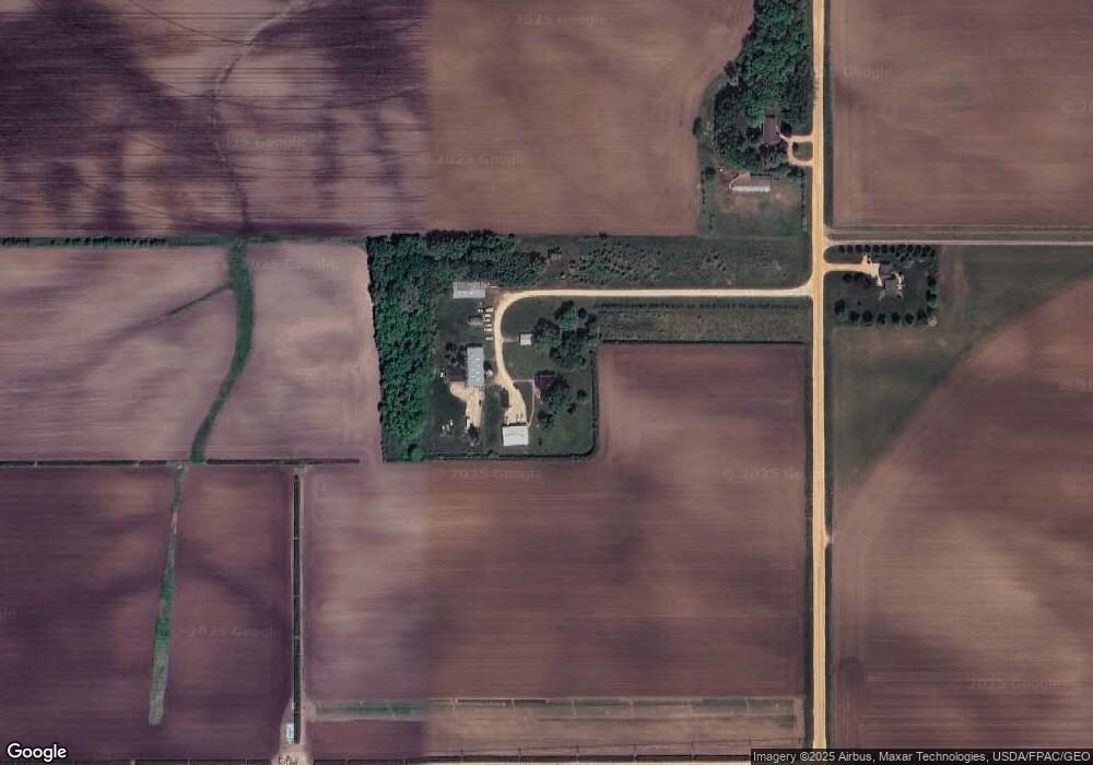
Map
Nearby Homes
- 18135 Lillehei Ave
- 313 Frederick Cir Unit 106
- 115 Kinglet Dr
- 182 Sandpiper Cir
- 456 Hayes Dr Unit 59
- 531 Tiffany Dr
- 664 35th St W
- 3575 Vermillion St
- 3525 Vermillion St
- 235 Tiffany Dr
- 217 Tiffany Dr
- 2970 Highview Knolls
- 448 Tuttle Dr
- 3560 Malcolm Ave
- 1780 River Shore Dr
- 3525 Douglas Dr
- 545 Tuttle Dr
- 1595 River Shore Dr
- 1634 River Shore Dr
- 1730 River Shore Dr
- 19587 Kirby Ave S
- 19435 Kirby Ave S
- 24531 Orlando Ave
- 19510 Kirby Ave S
- 19946 Kirby Ave S
- 19998 Kirby Ave S
- 11435 190th St E
- 11600 190th St E
- 10961 190th St E
- 11850 190th St E
- XXX 198th Street Cir
- 12080 198th Street Cir
- 12005 205th St E
- 11960 190th St E
- 12090 198th Street Cir
- 1 200th St E
- 11975 190th St E
- 12175 198th Street Cir
- 12156 198th St E
- 19590 Joan Ave