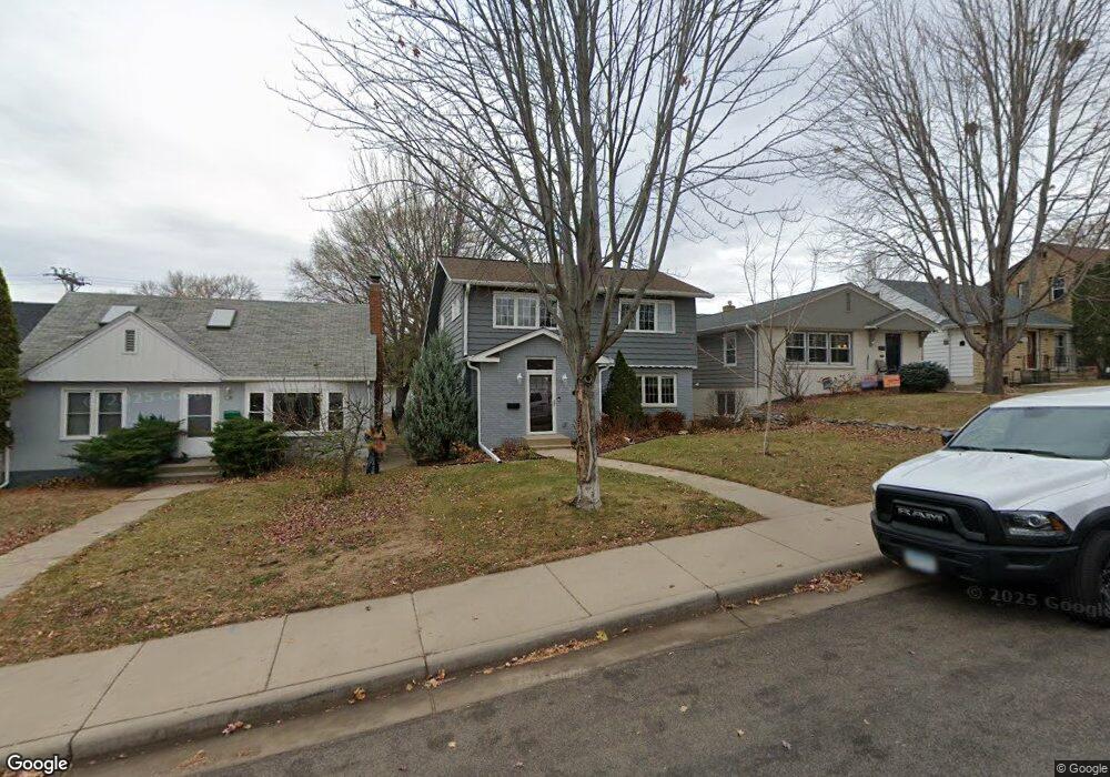
1959 Pinehurst Ave Saint Paul, MN 55116
Highland Park NeighborhoodEstimated Value: $551,000 - $669,000
About This Home
This home is located at 1959 Pinehurst Ave, Saint Paul, MN 55116 and is currently estimated at $591,359, approximately $517 per square foot. 1959 Pinehurst Ave is a home located in Ramsey County with nearby schools including Horace Mann School, Highland Park Middle School, and Highland Park Senior High.
Ownership History
We collect this data history from publicly available records. To have your information removed, we recommend requesting removal directly through your county’s website.
Purchase Details
Home Financials for this Owner
Home Financials are based on the most recent Mortgage that was taken out on this home.Home Values in the Area
Average Home Value in this Area
Purchase History
We collect this data history from publicly available records. To have your information removed, we recommend requesting removal directly through your county’s website.
| Date | Buyer | Sale Price | Title Company |
|---|---|---|---|
| $397,000 | Titlesmart Inc |
Mortgage History
We collect this data history from publicly available records. To have your information removed, we recommend requesting removal directly through your county’s website.
| Date | Status | Borrower | Loan Amount |
|---|---|---|---|
| Open | $317,600 |
Tax History
We collect this data history from publicly available records. To have your information removed, we recommend requesting removal directly through your county’s website.
| Year | Tax Paid | Tax Assessment Tax Assessment Total Assessment is a certain percentage of the fair market value that is determined by local assessors to be the total taxable value of land and additions on the property. | Land | Improvement |
|---|---|---|---|---|
| 2025 | $7,060 | $518,600 | $151,700 | $366,900 |
| 2023 | $7,060 | $453,100 | $151,700 | $301,400 |
| 2022 | $6,204 | $464,100 | $151,700 | $312,400 |
| 2021 | $6,280 | $380,700 | $151,700 | $229,000 |
| 2020 | $6,480 | $398,400 | $151,700 | $246,700 |
| 2019 | $6,490 | $383,000 | $151,700 | $231,300 |
| 2018 | $5,924 | $378,800 | $151,700 | $227,100 |
| 2017 | $5,366 | $357,000 | $151,700 | $205,300 |
| 2016 | $5,284 | $0 | $0 | $0 |
| 2015 | $4,806 | $319,800 | $130,100 | $189,700 |
| 2014 | $5,350 | $0 | $0 | $0 |
Map
- 1902 Pinehurst Ave
- 681 Wilder St S
- 2269 Beechwood Ave
- 2275 Beechwood Ave
- 2271 Beechwood Ave
- 2267 Beechwood Ave
- 1855 Pinehurst Ave
- 1857 Ford Pkwy
- 1843 Highland Pkwy
- 1858 Bayard Ave
- 1821 Bohland Ave
- 1954 Saunders Ave
- 2133 Highland Pkwy
- 1941 W Rome Ave
- 1780 Ford Pkwy
- 1846 Saunders Ave
- 1736 Hillcrest Ave
- 2199 Pinehurst Ave
- 1731 Hillcrest Ave
- 2196 Eleanor Ave
- 1955 Pinehurst Ave
- 1965 Pinehurst Ave
- 1951 Pinehurst Ave
- 1971 Pinehurst Ave
- 1947 Pinehurst Ave
- 1958 Highland Pkwy
- 1962 Highland Pkwy
- 1977 Pinehurst Ave
- 1954 Highland Pkwy
- 1964 Highland Pkwy
- 1943 Pinehurst Ave
- 1950 Highland Pkwy
- 1966 Highland Pkwy
- 1954 Pinehurst Ave
- 1968 Pinehurst Ave
- 1960 Pinehurst Ave
- 1981 Pinehurst Ave
- 1941 Pinehurst Ave
- 1972 Pinehurst Ave
- 1950 Pinehurst Ave
Ask me questions while you tour the home.