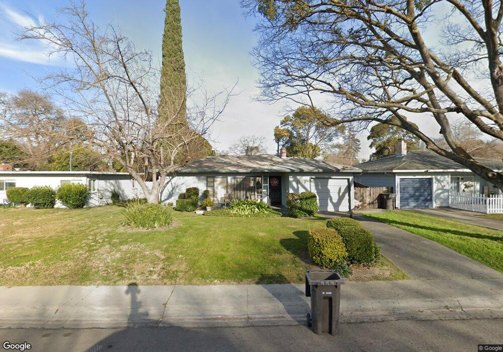
1959 Rutledge Way Unit 9 Stockton, CA 95207
Lincoln Village NeighborhoodEstimated Value: $281,000 - $360,000
2
Beds
1
Bath
898
Sq Ft
$357/Sq Ft
Est. Value
About This Home
This home is located at 1959 Rutledge Way Unit 9, Stockton, CA 95207 and is currently estimated at $320,909, approximately $357 per square foot. 1959 Rutledge Way Unit 9 is a home located in San Joaquin County with nearby schools including Tully C. Knoles School, Sierra Middle School, and Lincoln High School.
Ownership History
Date
Name
Owned For
Owner Type
Purchase Details
Closed on
May 22, 2009
Sold by
Souza Frank X and Souza Cecelia M
Bought by
Souza Frank X and Souza Cecelia M
Current Estimated Value
Purchase Details
Closed on
Oct 31, 2003
Sold by
Dunton Barbara J and Schroeder Joan M
Bought by
Souza Frank and Souza Cecilia
Home Financials for this Owner
Home Financials are based on the most recent Mortgage that was taken out on this home.
Original Mortgage
$144,000
Outstanding Balance
$60,918
Interest Rate
4.75%
Mortgage Type
Purchase Money Mortgage
Estimated Equity
$259,991
Purchase Details
Closed on
Jun 14, 1994
Sold by
Stephens George E
Bought by
Stephens George C and George C Stephens 1994 Trust
Purchase Details
Closed on
Mar 9, 1994
Sold by
Cardinalli Frank J
Bought by
Stephens George E
Create a Home Valuation Report for This Property
The Home Valuation Report is an in-depth analysis detailing your home's value as well as a comparison with similar homes in the area
Home Values in the Area
Average Home Value in this Area
Purchase History
| Date | Buyer | Sale Price | Title Company |
|---|---|---|---|
| Souza Frank X | -- | None Available | |
| Souza Frank X | -- | None Available | |
| Souza Frank | -- | Alliance Title Co | |
| Stephens George C | -- | -- | |
| Stephens George E | $88,000 | Old Republic Title Company |
Source: Public Records
Mortgage History
| Date | Status | Borrower | Loan Amount |
|---|---|---|---|
| Open | Souza Frank | $144,000 |
Source: Public Records
Tax History Compared to Growth
Tax History
| Year | Tax Paid | Tax Assessment Tax Assessment Total Assessment is a certain percentage of the fair market value that is determined by local assessors to be the total taxable value of land and additions on the property. | Land | Improvement |
|---|---|---|---|---|
| 2025 | $5,488 | $255,905 | $76,770 | $179,135 |
| 2024 | $4,859 | $250,888 | $75,265 | $175,623 |
| 2023 | $4,761 | $245,970 | $73,790 | $172,180 |
| 2022 | $4,602 | $241,148 | $72,344 | $168,804 |
| 2021 | $4,525 | $236,421 | $70,926 | $165,495 |
| 2020 | $4,491 | $233,998 | $70,199 | $163,799 |
| 2019 | $5,230 | $229,411 | $68,823 | $160,588 |
| 2018 | $5,132 | $224,914 | $67,474 | $157,440 |
| 2017 | $4,844 | $204,000 | $61,000 | $143,000 |
| 2016 | $4,050 | $158,000 | $47,000 | $111,000 |
| 2014 | $3,645 | $115,000 | $35,000 | $80,000 |
Source: Public Records
Map
Nearby Homes
- 1864 Polk Way
- 2252 W Benjamin Holt Dr
- 1703 Polk Way
- 1720 Mcclellan Way
- 1633 Porter Way
- 1629 Porter Way
- 1545 Douglas Rd
- 1707 W Swain Rd Unit 5
- 1719 W Swain Rd Unit A
- 2447 Calhoun Way
- 1608 Porter Way
- 1583 W Swain Rd
- 1489 W Swain Rd
- 2316 W Swain Rd
- 2423 W Swain Rd
- 5860 Alexandria Place
- 6523 Vicksburg Place
- 7012 Richmond Place
- 2128 Canyon Creek Dr
- 1532 Burnside Way
- 1949 Rutledge Way
- 2003 Rutledge Way
- 1939 Rutledge Way
- 2004 Sheridan Way
- 2013 Rutledge Way Unit 9
- 1958 Sheridan Way
- 2016 Sheridan Way
- 1960 Rutledge Way
- 1931 Rutledge Way
- 2023 Rutledge Way
- 1946 Sheridan Way
- 1952 Rutledge Way
- 2006 Rutledge Way
- 1942 Rutledge Way
- 2014 Rutledge Way
- 2028 Sheridan Way
- 1921 Rutledge Way
- 2031 Rutledge Way
- 1936 Sheridan Way
- 1932 Rutledge Way