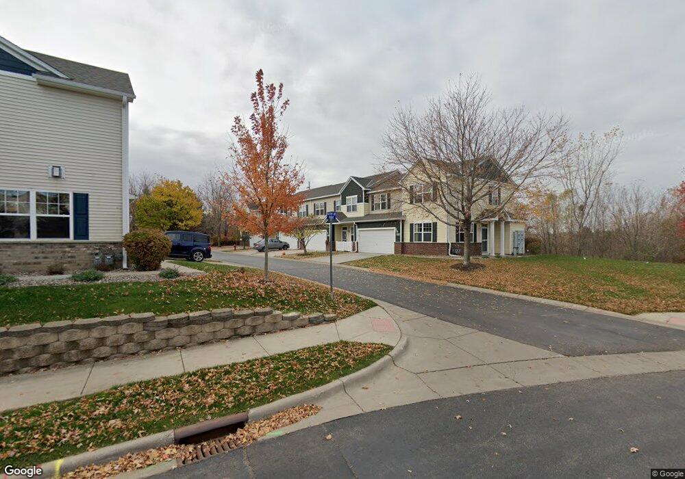
1959 Sierra Dr Unit 1801 Hastings, MN 55033
Hastings-Marshan Township NeighborhoodEstimated Value: $278,850 - $294,000
3
Beds
3
Baths
1,665
Sq Ft
$171/Sq Ft
Est. Value
About This Home
This home is located at 1959 Sierra Dr Unit 1801, Hastings, MN 55033 and is currently estimated at $285,463, approximately $171 per square foot. 1959 Sierra Dr Unit 1801 is a home located in Dakota County with nearby schools including Christa Mcauliffe Elementary School, Hastings Middle School, and Hastings High School.
Ownership History
Date
Name
Owned For
Owner Type
Purchase Details
Closed on
Sep 30, 2016
Sold by
Schmit Anthony Michael and Schmit Patricia Ann
Bought by
S & R Wasvick Investment Llc
Current Estimated Value
Purchase Details
Closed on
Apr 15, 2014
Sold by
Schmit Anthony Michael and Schmit Patricia Ann
Bought by
Schimt Anthony Michael and Sc Patricia
Purchase Details
Closed on
Dec 18, 2006
Sold by
Centex Homes Minnesota Division
Bought by
Schmit Anthony M and Schmit Patricia A
Create a Home Valuation Report for This Property
The Home Valuation Report is an in-depth analysis detailing your home's value as well as a comparison with similar homes in the area
Home Values in the Area
Average Home Value in this Area
Purchase History
| Date | Buyer | Sale Price | Title Company |
|---|---|---|---|
| S & R Wasvick Investment Llc | $164,000 | Dca Title | |
| Schmit Anthony Michael | -- | Dca Title | |
| Schimt Anthony Michael | -- | None Available | |
| Schmit Anthony M | $199,000 | -- |
Source: Public Records
Tax History Compared to Growth
Tax History
| Year | Tax Paid | Tax Assessment Tax Assessment Total Assessment is a certain percentage of the fair market value that is determined by local assessors to be the total taxable value of land and additions on the property. | Land | Improvement |
|---|---|---|---|---|
| 2024 | $3,066 | $265,100 | $50,300 | $214,800 |
| 2023 | $2,828 | $265,400 | $50,000 | $215,400 |
| 2022 | $2,594 | $252,000 | $49,900 | $202,100 |
| 2021 | $2,398 | $210,600 | $43,400 | $167,200 |
| 2020 | $2,408 | $193,300 | $41,300 | $152,000 |
| 2019 | $2,337 | $187,600 | $39,400 | $148,200 |
| 2018 | $2,321 | $172,800 | $37,500 | $135,300 |
| 2017 | $2,194 | $165,800 | $35,700 | $130,100 |
| 2016 | $2,078 | $155,900 | $33,400 | $122,500 |
| 2015 | $1,564 | $143,900 | $32,100 | $111,800 |
| 2014 | -- | $104,351 | $24,662 | $79,689 |
| 2013 | -- | $84,731 | $20,444 | $64,287 |
Source: Public Records
Map
Nearby Homes
- 1960 Rose Way
- 1967 Sierra Dr Unit 303
- 1882 13th St W Unit 802
- 1478 Pringle Ct
- 2725 General Sieben Dr
- 1767 Carleton Place
- 2109 Westpointe Dr
- 2117 Westpointe Dr
- 1832 Ridgepointe N
- 2120 Ridge Pointe Dr
- 2157 Westpointe Dr
- 1500 Brittany Rd
- 2173 Westpointe Dr
- 1817 Ridgepointe Ct
- 2160 Ridge Pointe Dr
- 2189 Westpointe Dr
- 1824 Fallbrooke Dr
- 1811 Fallbrooke Dr
- Alley Plan at Heritage Ridge
- Alley Plan at Heritage Ridge - Villas
- 1959 Sierra Dr
- 1957 Sierra Dr
- 1955 Sierra Dr
- 1955 Sierra Dr Unit 1803
- 1949 Sierra Dr
- 1947 Sierra Dr
- 1947 Sierra Dr Unit 1703
- 1945 Sierra Dr
- 1953 Sierra Dr
- 1943 Sierra Dr
- 1937 Sierra Dr
- 1937 Sierra Dr Unit 1602
- 1935 Sierra Dr
- 1939 Sierra Dr
- 1974 14th St W
- 1933 Sierra Dr
- 1963 Sierra Dr
- 1912 Rose Way
- 1948 Rose Way
- 1938 Rose Way