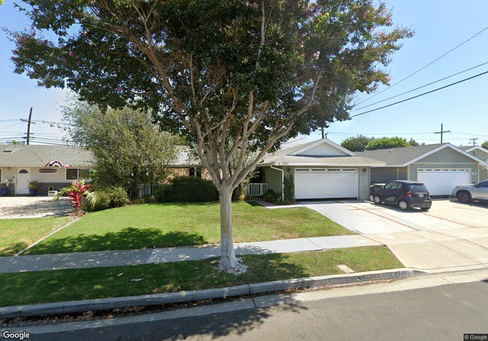
19592 Westwinds Ln Huntington Beach, CA 92646
Estimated Value: $1,142,000 - $1,250,000
4
Beds
2
Baths
1,290
Sq Ft
$922/Sq Ft
Est. Value
About This Home
This home is located at 19592 Westwinds Ln, Huntington Beach, CA 92646 and is currently estimated at $1,188,801, approximately $921 per square foot. 19592 Westwinds Ln is a home located in Orange County with nearby schools including William T. Newland Elementary, Talbert Middle School, and Huntington Beach High School.
Ownership History
Date
Name
Owned For
Owner Type
Purchase Details
Closed on
Jun 30, 2018
Sold by
Mcgehee Patricia M
Bought by
Mcghee Patricia Maureen and The Patricia Mcghee Trust
Current Estimated Value
Purchase Details
Closed on
Oct 25, 1993
Sold by
Mcgehee Patricia M
Bought by
Mcgehee Patricia M
Home Financials for this Owner
Home Financials are based on the most recent Mortgage that was taken out on this home.
Original Mortgage
$140,000
Interest Rate
6.74%
Create a Home Valuation Report for This Property
The Home Valuation Report is an in-depth analysis detailing your home's value as well as a comparison with similar homes in the area
Home Values in the Area
Average Home Value in this Area
Purchase History
| Date | Buyer | Sale Price | Title Company |
|---|---|---|---|
| Mcghee Patricia Maureen | -- | None Available | |
| Mcgehee Patricia M | -- | First American Title Ins Co |
Source: Public Records
Mortgage History
| Date | Status | Borrower | Loan Amount |
|---|---|---|---|
| Previous Owner | Mcgehee Patricia M | $140,000 |
Source: Public Records
Tax History Compared to Growth
Tax History
| Year | Tax Paid | Tax Assessment Tax Assessment Total Assessment is a certain percentage of the fair market value that is determined by local assessors to be the total taxable value of land and additions on the property. | Land | Improvement |
|---|---|---|---|---|
| 2025 | $1,243 | $86,636 | $31,881 | $54,755 |
| 2024 | $1,243 | $84,938 | $31,256 | $53,682 |
| 2023 | $1,209 | $83,273 | $30,643 | $52,630 |
| 2022 | $1,185 | $81,641 | $30,042 | $51,599 |
| 2021 | $1,163 | $80,041 | $29,453 | $50,588 |
| 2020 | $1,154 | $79,221 | $29,151 | $50,070 |
| 2019 | $1,135 | $77,668 | $28,579 | $49,089 |
| 2018 | $1,114 | $76,146 | $28,019 | $48,127 |
| 2017 | $1,096 | $74,653 | $27,469 | $47,184 |
| 2016 | $1,057 | $73,190 | $26,931 | $46,259 |
| 2015 | $1,040 | $72,091 | $26,526 | $45,565 |
| 2014 | $1,018 | $70,679 | $26,006 | $44,673 |
Source: Public Records
Map
Nearby Homes
- 9121 Madeline Dr
- 9172 Veronica Dr
- 8582 Salt Lake Dr
- 19202 Hickory Ln
- 20131 Crown Reef Ln
- 20111 Marina Ln
- 20071 Moontide Cir
- 8291 Polk Cir
- 18963 Acacia St
- 20191 Imperial Cove Ln
- 19846 Lures Ln
- 20258 Lantana Dr
- 9594 Pettswood Dr Unit 4
- 9462 Litchfield Dr
- 8472 Norfolk Dr
- 8242 Grant Dr
- 19901 Burnley Ln
- 19362 Weymouth Ln
- 19854 Leighton Ln
- 9667 Durham Dr
- 19582 Westwinds Ln
- 19602 Westwinds Ln
- 19572 Westwinds Ln
- 19612 Westwinds Ln
- 8932 Shore Cir
- 8931 Shoal Cir
- 19622 Westwinds Ln
- 19562 Westwinds Ln
- 19591 Roderick Ln
- 19601 Roderick Ln
- 8922 Shore Cir
- 19611 Roderick Ln
- 19581 Roderick Ln
- 8921 Shoal Cir
- 8931 Shore Cir
- 19632 Westwinds Ln
- 19552 Westwinds Ln
- 19621 Roderick Ln
- 19571 Roderick Ln
- 8912 Shore Cir