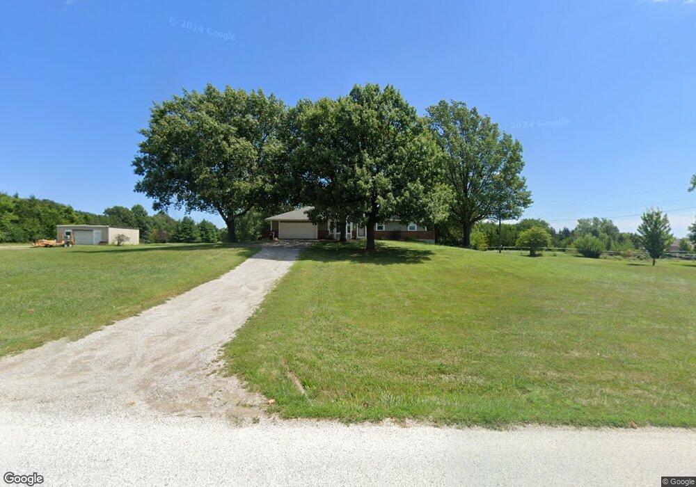
19595 S Lone Elm Rd Spring Hill, KS 66083
Estimated Value: $432,000 - $616,000
3
Beds
3
Baths
1,526
Sq Ft
$353/Sq Ft
Est. Value
About This Home
This home is located at 19595 S Lone Elm Rd, Spring Hill, KS 66083 and is currently estimated at $539,269, approximately $353 per square foot. 19595 S Lone Elm Rd is a home located in Johnson County with nearby schools including Wolf Creek Elementary School, Spring Hill Middle School, and Spring Hill High School.
Ownership History
Date
Name
Owned For
Owner Type
Purchase Details
Closed on
Jan 23, 2008
Sold by
Bird Ann M and The Ann M Bird Trust
Bought by
Moses Eva L
Current Estimated Value
Home Financials for this Owner
Home Financials are based on the most recent Mortgage that was taken out on this home.
Original Mortgage
$229,500
Outstanding Balance
$144,789
Interest Rate
6.15%
Mortgage Type
New Conventional
Estimated Equity
$394,480
Create a Home Valuation Report for This Property
The Home Valuation Report is an in-depth analysis detailing your home's value as well as a comparison with similar homes in the area
Home Values in the Area
Average Home Value in this Area
Purchase History
| Date | Buyer | Sale Price | Title Company |
|---|---|---|---|
| Moses Eva L | -- | Chicago Title Ins Co |
Source: Public Records
Mortgage History
| Date | Status | Borrower | Loan Amount |
|---|---|---|---|
| Open | Moses Eva L | $229,500 |
Source: Public Records
Tax History Compared to Growth
Tax History
| Year | Tax Paid | Tax Assessment Tax Assessment Total Assessment is a certain percentage of the fair market value that is determined by local assessors to be the total taxable value of land and additions on the property. | Land | Improvement |
|---|---|---|---|---|
| 2024 | $6,526 | $56,221 | $16,339 | $39,882 |
| 2023 | $5,929 | $50,208 | $14,203 | $36,005 |
| 2022 | $5,531 | $46,372 | $11,368 | $35,004 |
| 2021 | $5,531 | $40,921 | $9,463 | $31,458 |
| 2020 | $4,766 | $38,545 | $9,463 | $29,082 |
| 2019 | $4,433 | $35,651 | $8,286 | $27,365 |
| 2018 | $4,115 | $34,394 | $8,304 | $26,090 |
| 2017 | $3,873 | $31,991 | $8,549 | $23,442 |
| 2016 | $3,721 | $30,578 | $8,549 | $22,029 |
| 2015 | $3,678 | $30,187 | $8,549 | $21,638 |
| 2013 | -- | $28,978 | $8,549 | $20,429 |
Source: Public Records
Map
Nearby Homes
- 19024 Theden St
- 20921 W 190th Place
- 20916 W 190th Place
- RC Roselyn Plan at Wiswell Farms
- RC Keswick Plan at Wiswell Farms
- Rc Pickett Plan at Wiswell Farms
- Rc Franklin Plan at Wiswell Farms
- RC Bridgeport Plan at Wiswell Farms
- 20385 W 193rd Ln
- RC Wright Plan at Wiswell Farms
- RC Greenfield Plan at Wiswell Farms
- RC Glenwood Plan at Wiswell Farms
- RC Armstrong Plan at Wiswell Farms
- RC Fenway Plan at Wiswell Farms
- RC Foster II Plan at Wiswell Farms
- 20870 W 190th Terrace
- 20410 W 201st St
- 20127 Falcon Ridge Dr
- 21410 W 189th Terrace
- 0 N Madison St
- 21470 W 197th St
- 19570 S Lone Elm Rd
- 19520 S Lone Elm Rd
- 19610 S Lone Elm Rd
- 21400 W 197th St
- 21430 W 197th St
- 19630 S Lone Elm Rd
- 21350 W 197th St
- 19490 S Lone Elm Rd
- 21290 W 197th St
- 19540 S Lone Elm Rd
- 19640 S Lone Elm Rd
- 19590 S Lone Elm Rd
- 21475 W 197th St
- 19515 S Lone Elm Rd
- 21435 W 197th St
- 21385 W 197th St
- 19670 S Lone Elm Rd
- 21200 W 197th St
- 21595 W 197th St