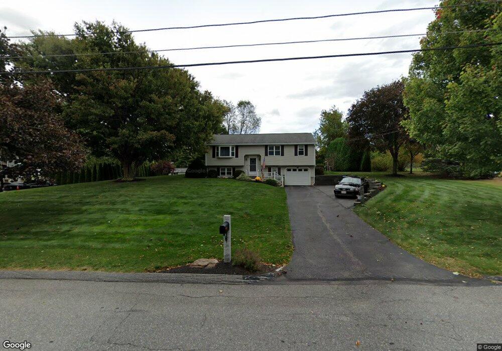
196 Birchcroft Rd Leominster, MA 01453
Estimated Value: $507,000 - $557,960
3
Beds
2
Baths
1,878
Sq Ft
$283/Sq Ft
Est. Value
About This Home
This home is located at 196 Birchcroft Rd, Leominster, MA 01453 and is currently estimated at $530,740, approximately $282 per square foot. 196 Birchcroft Rd is a home located in Worcester County with nearby schools including Leominster High School, St. Anna Catholic School, and St. Leo School.
Ownership History
Date
Name
Owned For
Owner Type
Purchase Details
Closed on
Jul 31, 2001
Sold by
Hathaway Vaughn N and Hathaway Kathryn L
Bought by
Priest David M and Gerante Nicole
Current Estimated Value
Home Financials for this Owner
Home Financials are based on the most recent Mortgage that was taken out on this home.
Original Mortgage
$130,000
Interest Rate
7.18%
Mortgage Type
Purchase Money Mortgage
Purchase Details
Closed on
Sep 19, 1997
Sold by
Landine Robert A and Landine Diane M
Bought by
Hathaway Vaughn N and Hathaway Kathryn L
Purchase Details
Closed on
Oct 3, 1989
Sold by
Digeronimo Steven
Bought by
Landine Robert
Home Financials for this Owner
Home Financials are based on the most recent Mortgage that was taken out on this home.
Original Mortgage
$130,650
Interest Rate
9.92%
Mortgage Type
Purchase Money Mortgage
Create a Home Valuation Report for This Property
The Home Valuation Report is an in-depth analysis detailing your home's value as well as a comparison with similar homes in the area
Home Values in the Area
Average Home Value in this Area
Purchase History
| Date | Buyer | Sale Price | Title Company |
|---|---|---|---|
| Priest David M | $202,000 | -- | |
| Hathaway Vaughn N | $136,900 | -- | |
| Landine Robert | $138,000 | -- |
Source: Public Records
Mortgage History
| Date | Status | Borrower | Loan Amount |
|---|---|---|---|
| Open | Landine Robert | $185,000 | |
| Closed | Landine Robert | $130,000 | |
| Previous Owner | Landine Robert | $130,650 |
Source: Public Records
Tax History Compared to Growth
Tax History
| Year | Tax Paid | Tax Assessment Tax Assessment Total Assessment is a certain percentage of the fair market value that is determined by local assessors to be the total taxable value of land and additions on the property. | Land | Improvement |
|---|---|---|---|---|
| 2025 | $6,603 | $470,600 | $150,100 | $320,500 |
| 2024 | $6,461 | $445,300 | $142,900 | $302,400 |
| 2023 | $6,286 | $404,500 | $124,300 | $280,200 |
| 2022 | $6,001 | $362,400 | $108,200 | $254,200 |
| 2021 | $5,796 | $319,700 | $84,100 | $235,600 |
| 2020 | $5,630 | $313,100 | $84,100 | $229,000 |
| 2019 | $5,395 | $291,000 | $80,000 | $211,000 |
| 2018 | $5,467 | $282,800 | $77,700 | $205,100 |
| 2017 | $4,966 | $251,700 | $72,600 | $179,100 |
| 2016 | $4,656 | $237,800 | $72,600 | $165,200 |
| 2015 | $4,506 | $231,800 | $72,600 | $159,200 |
| 2014 | $4,409 | $233,400 | $79,100 | $154,300 |
Source: Public Records
Map
Nearby Homes
- 25 Crimson Ct
- 12 Walden Ct
- 15 Peach Tree Ln
- 47 Carolyn St
- 871 Pleasant St
- 35 Hill St
- 41 Hill St
- 24 Starling Way
- 46 Eugene St
- 74 Crisci St
- 28 Dupont Cir
- 102 Chapman Place Unit 102
- 22 Naples St
- 6 Argentine St
- 112 Overlook Dr
- 197 Chapman Place Unit 197
- 98 Sylvan Ave
- 76 Jamestown Rd
- 109 Weathervane Dr
- 3 Leo Gagnon Way Unit 3
- 190 Birchcroft Rd
- 202 Birchcroft Rd
- 93 Glenwood Dr
- 87 Glenwood Dr
- 99 Glenwood Dr
- 195 Birchcroft Rd
- 201 Birchcroft Rd
- 184 Birchcroft Rd
- 189 Birchcroft Rd
- 216 Birchcroft Rd
- 81 Glenwood Dr
- 226 Birchcroft Rd
- 207 Birchcroft Rd
- 178 Birchcroft Rd
- 94 Glenwood Dr
- 213 Birchcroft Rd
- 100 Glenwood Dr
- 88 Glenwood Dr
- 75 Glenwood Dr
- 219 Birchcroft Rd