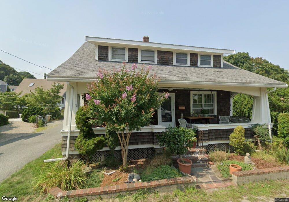
196 Bradford St Provincetown, MA 02657
Estimated Value: $1,866,000 - $2,753,000
5
Beds
3
Baths
2,464
Sq Ft
$939/Sq Ft
Est. Value
About This Home
This home is located at 196 Bradford St, Provincetown, MA 02657 and is currently estimated at $2,313,554, approximately $938 per square foot. 196 Bradford St is a home located in Barnstable County with nearby schools including Provincetown Schools.
Ownership History
Date
Name
Owned For
Owner Type
Purchase Details
Closed on
Jun 13, 2018
Sold by
Souza Charles F and Kane Carol A
Bought by
Pasnick Gary
Current Estimated Value
Purchase Details
Closed on
Jan 3, 2018
Sold by
Elizabeth L Villari Lt and Cox
Bought by
Pasnick Gary
Purchase Details
Closed on
Jul 3, 2017
Sold by
Villari Elizabeth L
Bought by
Elizabeth L Villari Lt and Villari
Create a Home Valuation Report for This Property
The Home Valuation Report is an in-depth analysis detailing your home's value as well as a comparison with similar homes in the area
Home Values in the Area
Average Home Value in this Area
Purchase History
| Date | Buyer | Sale Price | Title Company |
|---|---|---|---|
| Pasnick Gary | -- | -- | |
| Pasnick Gary | -- | -- | |
| Pasnick Gary | -- | -- | |
| Pasnick Gary | -- | -- | |
| Elizabeth L Villari Lt | -- | -- | |
| Elizabeth L Villari Lt | -- | -- |
Source: Public Records
Tax History Compared to Growth
Tax History
| Year | Tax Paid | Tax Assessment Tax Assessment Total Assessment is a certain percentage of the fair market value that is determined by local assessors to be the total taxable value of land and additions on the property. | Land | Improvement |
|---|---|---|---|---|
| 2025 | $12,530 | $2,237,500 | $572,200 | $1,665,300 |
| 2024 | $11,565 | $2,072,500 | $545,300 | $1,527,200 |
| 2023 | $10,088 | $1,686,900 | $474,300 | $1,212,600 |
| 2022 | $9,920 | $1,489,500 | $443,200 | $1,046,300 |
| 2021 | $9,269 | $1,309,200 | $403,000 | $906,200 |
| 2020 | $8,366 | $1,263,700 | $403,000 | $860,700 |
| 2019 | $8,428 | $1,193,700 | $391,200 | $802,500 |
| 2018 | $7,609 | $1,021,400 | $391,200 | $630,200 |
| 2017 | $7,497 | $972,400 | $383,500 | $588,900 |
| 2016 | $7,846 | $1,005,900 | $414,400 | $591,500 |
| 2015 | $6,338 | $858,800 | $284,400 | $574,400 |
Source: Public Records
Map
Nearby Homes
- 452 Commercial St Unit 3
- 5 Kiley Ct Unit 2
- 441 Commercial St Unit B
- 184 Bradford St Unit 1
- 495 Commercial St Unit 6
- 495 Commercial St Unit 9
- 495 Commercial St Unit 11
- 501 Commercial St Unit 17
- 6 Daggett Ln
- 404 Commercial St Unit 1
- 404 Commercial St Unit 2
- 405 Commercial St Unit 5
- 167 Bradford St Unit B
- 512 Commercial St
- 37 Pearl St
- 521 Commercial St Unit 2
- 36 Pearl St Unit 2
- 36 Pearl St Unit 3
- 535 Commercial St Unit 2
- 535 Commercial St Unit 2
- 196 Bradford St Unit 1-2
- 196-R Bradford St
- 194 Bradford St
- 198-R Bradford St
- 17 Bangs St
- 191 Bradford St
- 192 Bradford St
- 197 Bradford St
- 19 Bangs St
- 11 Bangs St
- 193 Bradford St
- 199 Bradford St
- 198 Bradford St
- 21 Bangs St
- 21A Bangs St
- 21-A Bangs St
- 190 Bradford St
- 190 Bradford St Unit 2
- 190 Bradford St Unit 1
- 200-A Bradford St