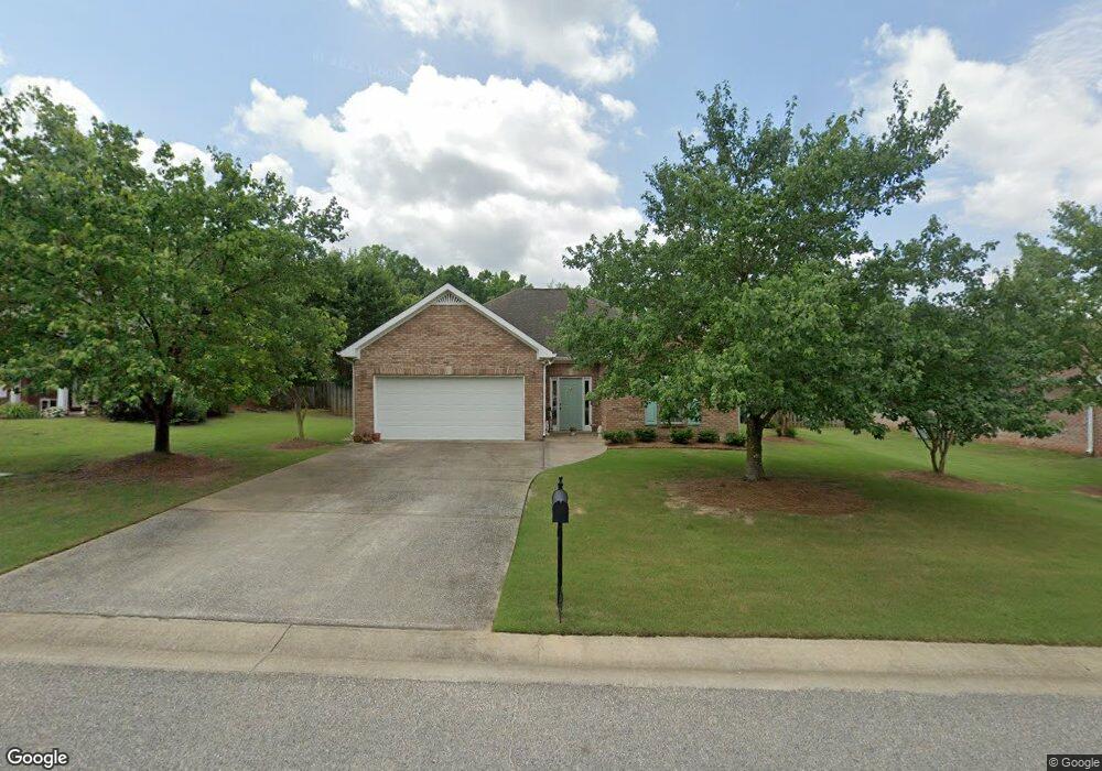
196 Cedar Grove Pkwy Maylene, AL 35114
Estimated Value: $266,000 - $307,000
--
Bed
1
Bath
1,523
Sq Ft
$183/Sq Ft
Est. Value
About This Home
This home is located at 196 Cedar Grove Pkwy, Maylene, AL 35114 and is currently estimated at $278,403, approximately $182 per square foot. 196 Cedar Grove Pkwy is a home located in Shelby County with nearby schools including Thompson Intermediate School, Thompson Middle School, and Thompson High School.
Ownership History
Date
Name
Owned For
Owner Type
Purchase Details
Closed on
Aug 31, 2000
Sold by
Tom Lacey Construction Company Inc
Bought by
Scholl Anne P
Current Estimated Value
Home Financials for this Owner
Home Financials are based on the most recent Mortgage that was taken out on this home.
Original Mortgage
$92,500
Outstanding Balance
$33,737
Interest Rate
8.11%
Estimated Equity
$244,666
Purchase Details
Closed on
Aug 24, 1999
Sold by
Green Briar Ltd
Bought by
Tom Lacey Construction Co Inc
Home Financials for this Owner
Home Financials are based on the most recent Mortgage that was taken out on this home.
Original Mortgage
$102,000
Interest Rate
7.58%
Create a Home Valuation Report for This Property
The Home Valuation Report is an in-depth analysis detailing your home's value as well as a comparison with similar homes in the area
Home Values in the Area
Average Home Value in this Area
Purchase History
| Date | Buyer | Sale Price | Title Company |
|---|---|---|---|
| Scholl Anne P | $127,500 | -- | |
| Tom Lacey Construction Co Inc | $20,150 | -- |
Source: Public Records
Mortgage History
| Date | Status | Borrower | Loan Amount |
|---|---|---|---|
| Open | Scholl Anne P | $92,500 | |
| Previous Owner | Tom Lacey Construction Co Inc | $102,000 |
Source: Public Records
Tax History Compared to Growth
Tax History
| Year | Tax Paid | Tax Assessment Tax Assessment Total Assessment is a certain percentage of the fair market value that is determined by local assessors to be the total taxable value of land and additions on the property. | Land | Improvement |
|---|---|---|---|---|
| 2024 | $1,295 | $23,980 | $0 | $0 |
| 2023 | $1,063 | $22,700 | $0 | $0 |
| 2022 | $996 | $21,280 | $0 | $0 |
| 2021 | $857 | $18,360 | $0 | $0 |
| 2020 | $771 | $16,960 | $0 | $0 |
| 2019 | $771 | $16,120 | $0 | $0 |
| 2017 | $771 | $15,040 | $0 | $0 |
| 2015 | $730 | $14,280 | $0 | $0 |
| 2014 | $730 | $14,280 | $0 | $0 |
Source: Public Records
Map
Nearby Homes
- 155 Victoria Station
- 236 Queens Gate
- 549 Ramsgate Dr
- 545 Ramsgate Dr
- 309 Cedar Grove Ct
- 306 Mayfair Cir
- 208 Queens Gate
- 537 Ramsgate Dr
- 217 Mayfair Park
- 501 Ramsgate Dr
- 233 Norwick Forest Dr
- 280 Cedar Grove Pkwy Unit 34
- 493 Ramsgate Dr
- 109 Kingsley Cir
- 217 Kensington Ln
- 220 Cedar Meadow
- 256 Cedar Meadow
- 112 Kingsley Ct
- 128 Oak St
- 104 Camden Cir
- 194 Cedar Grove Pkwy
- 202 Cedar Grove Pkwy
- 194 Cedar Grove Pkwy
- 159 Victoria Station
- 190 Cedar Grove Pkwy
- 204 Cedar Grove Pkwy
- 193 Cedar Grove Pkwy
- 204 Cedar Grove Pkwy
- 197 Cedar Grove Pkwy
- 205 Cedar Grove Pkwy
- 205 Cedar Grove Pkwy
- 193 Cedar Grove Pkwy
- 147 Victoria Station
- 186 Cedar Grove Pkwy
- 162 Victoria Station
- 189 Cedar Grove Pkwy
- 400 Cornwall Dr
- 404 Cornwall Dr
- 152 Victoria Station