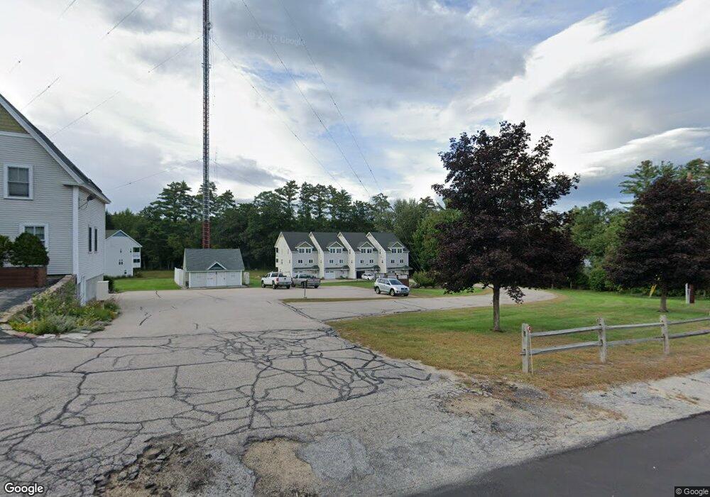
196 E Main St Unit 5 Conway, NH 03818
Estimated Value: $363,576 - $380,000
2
Beds
2
Baths
1,228
Sq Ft
$301/Sq Ft
Est. Value
About This Home
This home is located at 196 E Main St Unit 5, Conway, NH 03818 and is currently estimated at $369,144, approximately $300 per square foot. 196 E Main St Unit 5 is a home located in Carroll County with nearby schools including A. Crosby Kennett Middle School, Kennett High School, and Robert Frost Charter School.
Ownership History
Date
Name
Owned For
Owner Type
Purchase Details
Closed on
Aug 13, 2020
Sold by
Jeanne Bolduc T
Bought by
Mckeon John
Current Estimated Value
Home Financials for this Owner
Home Financials are based on the most recent Mortgage that was taken out on this home.
Original Mortgage
$224,957
Outstanding Balance
$199,553
Interest Rate
3%
Mortgage Type
VA
Estimated Equity
$169,591
Purchase Details
Closed on
Oct 29, 2012
Sold by
Bolduc Jeanne
Bought by
Jeanne Bolduc T
Purchase Details
Closed on
May 24, 2007
Sold by
Thornton Investment
Bought by
Bolduc Jeanne W
Create a Home Valuation Report for This Property
The Home Valuation Report is an in-depth analysis detailing your home's value as well as a comparison with similar homes in the area
Home Values in the Area
Average Home Value in this Area
Purchase History
| Date | Buyer | Sale Price | Title Company |
|---|---|---|---|
| Mckeon John | $219,933 | None Available | |
| Jeanne Bolduc T | -- | -- | |
| Bolduc Jeanne W | $189,900 | -- |
Source: Public Records
Mortgage History
| Date | Status | Borrower | Loan Amount |
|---|---|---|---|
| Open | Mckeon John | $224,957 |
Source: Public Records
Tax History
| Year | Tax Paid | Tax Assessment Tax Assessment Total Assessment is a certain percentage of the fair market value that is determined by local assessors to be the total taxable value of land and additions on the property. | Land | Improvement |
|---|---|---|---|---|
| 2024 | $3,566 | $277,500 | $0 | $277,500 |
| 2023 | $3,308 | $277,500 | $0 | $277,500 |
| 2022 | $3,674 | $188,800 | $0 | $188,800 |
| 2021 | $3,085 | $188,800 | $0 | $188,800 |
| 2020 | $3,466 | $188,800 | $0 | $188,800 |
| 2019 | $3,270 | $188,800 | $0 | $188,800 |
| 2018 | $3,096 | $142,400 | $0 | $142,400 |
| 2017 | $2,845 | $142,400 | $0 | $142,400 |
| 2016 | $2,750 | $142,400 | $0 | $142,400 |
| 2015 | $2,718 | $142,400 | $0 | $142,400 |
| 2014 | $2,686 | $142,400 | $0 | $142,400 |
| 2013 | $2,693 | $150,800 | $0 | $150,800 |
Source: Public Records
Map
Nearby Homes
- 196 E Main St Unit 5 (old 103)
- 9 E Side Rd
- 6 Main St
- 215 Hillside Ave
- 76 Main St
- 54 Woodland Grove Rd
- 18 Woodland Grove Rd
- 357 Lamplighters Park
- 27 Firelite Rd
- 229 Tasker Hill Rd
- 15 Trailer Ave
- 66 Lamplighter's Dr
- 33 Longbow Dr
- 74 Lamplighter's Dr
- 26 Campfire St
- 288 Lamplighter's Dr
- 43 Lamplighter's Dr
- 357 Lamplighters Dr
- 15 Lighthouse Ln
- 20 Lighthouse Ln
- 196 E Main St Unit 10
- 196 E Main St Unit 9
- 196 E Main St Unit 8
- 196 E Main St Unit 7
- 196 E Main St Unit 6
- 196 E Main St Unit 4
- 196 E Main St Unit 3
- 196 E Main St Unit 2
- 196 E Main St Unit 1
- 196 E Main St Unit 10
- 196 E Main St Unit 101
- 115 River St Unit 14
- 115 River St Unit 12
- 115 River St Unit 13
- 115 River St Unit 11
- 196 E Main St Unit 201
- 196 E Main St
- 196 E Main St Unit 103 (aka 5)
- 196 E Main St Unit 102
- 115 River St
Your Personal Tour Guide
Ask me questions while you tour the home.