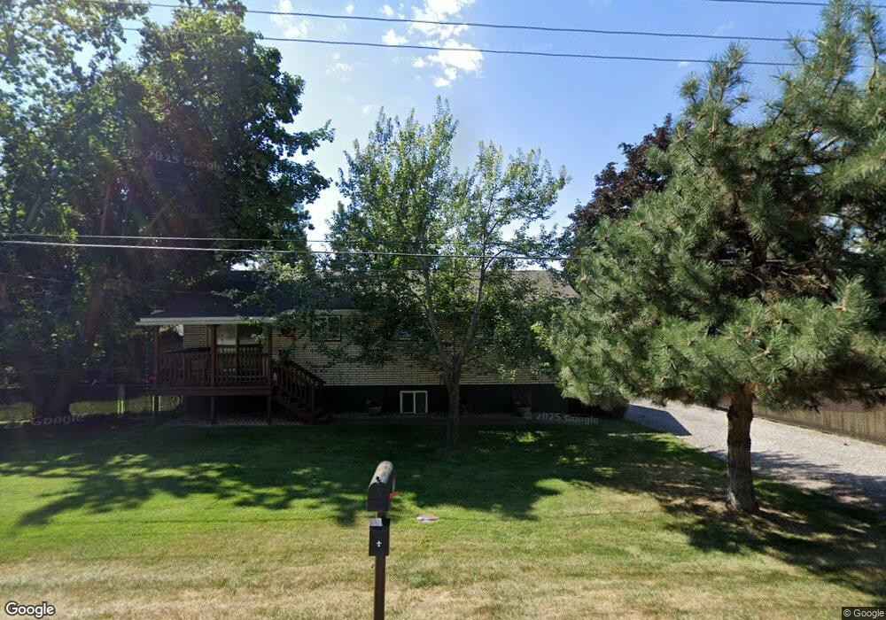
196 Holt Dr Bigfork, MT 59911
Estimated Value: $615,194 - $828,000
3
Beds
2
Baths
2,030
Sq Ft
$345/Sq Ft
Est. Value
About This Home
This home is located at 196 Holt Dr, Bigfork, MT 59911 and is currently estimated at $700,049, approximately $344 per square foot. 196 Holt Dr is a home located in Flathead County with nearby schools including Bigfork Elementary School, Bigfork Middle School, and Bigfork High School.
Ownership History
Date
Name
Owned For
Owner Type
Purchase Details
Closed on
Sep 1, 2009
Sold by
Lauman Dale and Lauman Lois
Bought by
Rose John A and Rose Kim K
Current Estimated Value
Home Financials for this Owner
Home Financials are based on the most recent Mortgage that was taken out on this home.
Original Mortgage
$188,700
Outstanding Balance
$123,409
Interest Rate
5.19%
Mortgage Type
New Conventional
Estimated Equity
$576,640
Purchase Details
Closed on
May 26, 2009
Sold by
Lauman Dale and Lauman Lois
Bought by
Lauman Dale and Lauman Lois
Create a Home Valuation Report for This Property
The Home Valuation Report is an in-depth analysis detailing your home's value as well as a comparison with similar homes in the area
Home Values in the Area
Average Home Value in this Area
Purchase History
| Date | Buyer | Sale Price | Title Company |
|---|---|---|---|
| Rose John A | -- | First American Title Company | |
| Lauman Dale | -- | None Available |
Source: Public Records
Mortgage History
| Date | Status | Borrower | Loan Amount |
|---|---|---|---|
| Open | Rose John A | $188,700 |
Source: Public Records
Tax History
| Year | Tax Paid | Tax Assessment Tax Assessment Total Assessment is a certain percentage of the fair market value that is determined by local assessors to be the total taxable value of land and additions on the property. | Land | Improvement |
|---|---|---|---|---|
| 2025 | $1,786 | $514,700 | $0 | $0 |
| 2024 | $1,994 | $357,300 | $0 | $0 |
| 2023 | $2,126 | $357,300 | $0 | $0 |
| 2022 | $2,071 | $288,500 | $0 | $0 |
| 2021 | $2,268 | $288,500 | $0 | $0 |
| 2020 | $2,117 | $247,600 | $0 | $0 |
| 2019 | $2,046 | $247,600 | $0 | $0 |
| 2018 | $1,835 | $208,700 | $0 | $0 |
| 2017 | $1,795 | $208,700 | $0 | $0 |
| 2016 | $1,816 | $212,700 | $0 | $0 |
| 2015 | $1,668 | $212,700 | $0 | $0 |
| 2014 | $1,445 | $109,392 | $0 | $0 |
Source: Public Records
Map
Nearby Homes
- 172 Holt Dr Unit A, B & C
- 130 S Crestview Terrace
- 101 S Crestview Terrace
- 109 O'Brien Terrace Unit C
- 180 Vista Ln Unit 137
- 180 Vista Ln Unit 236
- 180 Vista Ln Unit 111
- 180 Vista Ln Unit 254
- 180 Vista Ln Unit 301
- 19 Crossbuck Trail
- 112 O'Brien Terrace Unit A
- 112 Sunrise Terrace
- 114 Sunrise Terrace
- 260 Crestview Dr
- 380&374 Commerce St
- 380 Commerce St
- 370 Commerce St
- 623 Mill Pond Place
- 10 Bear Dance Village
- 39 Golf Terrace Unit 5
- 198 Holt Dr
- 180 Holt Dr
- 110 Beach Rd
- 183 Harbor Heights Blvd
- 175 Harbor Heights Blvd
- 172 Holt Dr
- 167 Harbor Heights Blvd
- Lot 54 Ponderosa Boat Club
- 170 Harbor Heights Blvd
- 126 Beach Rd
- 104 Beach Rd
- 164 Holt Dr
- 159 Harbor Heights Blvd
- 162 Harbor Heights Blvd
- 134 Beach Rd
- 23 Ichabod Ln
- 152 Holt Dr
- 11 Ichabod Ln
- 154 Harbor Heights Blvd
- 179 Parkway Ave
Your Personal Tour Guide
Ask me questions while you tour the home.