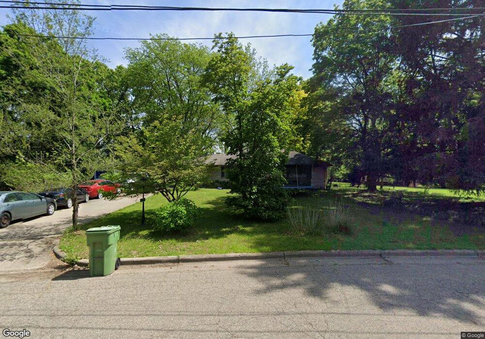
196 Irving Park Dr Battle Creek, MI 49037
North Central NeighborhoodEstimated Value: $134,000 - $184,460
2
Beds
2
Baths
1,395
Sq Ft
$113/Sq Ft
Est. Value
About This Home
This home is located at 196 Irving Park Dr, Battle Creek, MI 49037 and is currently estimated at $157,365, approximately $112 per square foot. 196 Irving Park Dr is a home located in Calhoun County with nearby schools including Dudley School, Northwestern Middle School, and Battle Creek Central High School.
Ownership History
Date
Name
Owned For
Owner Type
Purchase Details
Closed on
Mar 30, 2021
Sold by
Al Hadhrami Kasem and Hassin Gamilah
Bought by
Al Hadhrami Abdullah Kasem
Current Estimated Value
Purchase Details
Closed on
May 3, 2016
Sold by
Mixon Vidette Bullock and Bullock Chad M
Bought by
Al Hadhrami Kasem and Hassin Gamilah
Purchase Details
Closed on
Sep 1, 2015
Sold by
Bullock Voncile B
Bought by
Bullock Voncile B and Mixon Vidette Bullick
Create a Home Valuation Report for This Property
The Home Valuation Report is an in-depth analysis detailing your home's value as well as a comparison with similar homes in the area
Home Values in the Area
Average Home Value in this Area
Purchase History
| Date | Buyer | Sale Price | Title Company |
|---|---|---|---|
| Al Hadhrami Abdullah Kasem | -- | None Available | |
| Al-Hadhrami Abdullah Kasem | -- | None Listed On Document | |
| Al Hadhrami Kasem | $46,200 | Devon Title Agency | |
| Bullock Voncile B | -- | Attorney |
Source: Public Records
Tax History Compared to Growth
Tax History
| Year | Tax Paid | Tax Assessment Tax Assessment Total Assessment is a certain percentage of the fair market value that is determined by local assessors to be the total taxable value of land and additions on the property. | Land | Improvement |
|---|---|---|---|---|
| 2025 | -- | $88,800 | $0 | $0 |
| 2024 | $1,755 | $80,444 | $0 | $0 |
| 2023 | $2,035 | $68,536 | $0 | $0 |
| 2022 | $1,614 | $64,671 | $0 | $0 |
| 2021 | $1,892 | $53,281 | $0 | $0 |
| 2020 | $1,780 | $51,378 | $0 | $0 |
| 2019 | $1,780 | $46,030 | $0 | $0 |
| 2018 | $1,780 | $45,118 | $2,582 | $42,536 |
| 2017 | $2,159 | $37,487 | $0 | $0 |
| 2016 | $2,177 | $39,395 | $0 | $0 |
| 2015 | $1,952 | $44,148 | $8,024 | $36,124 |
| 2014 | $1,952 | $43,015 | $8,024 | $34,991 |
Source: Public Records
Map
Nearby Homes
- 46 Walter Ave
- 52 Roseneath Ave
- 266 North Ave
- 161 Wilds Ave
- 5 Beglin Ct
- 51 Latta St
- 273 Garfield Ave
- 216 Kendall St N
- 192 Fremont St
- 435 Kendall St N
- 323 Garfield Ave
- 45 Central St
- 69 Coolidge Ave W
- 16 Eagle St
- 11 Coolidge Ave W
- 62 Coolidge Ave W
- 561 Garrison Rd
- 188 Roseneath Ave
- 706 Washington Ave N
- 19 Central St
- 204 Irving Park Dr
- 195 Irving Park Dr
- 145 Northside Dr E
- 207 Irving Park Dr
- 125 Northside Dr E
- 210 Irving Park Dr
- 215 Irving Park Dr
- 138 Northside Dr E
- 216 Irving Park Dr
- 132 Northside Dr E
- 225 Irving Park Dr
- 166 Irving Park Dr
- 54 Springview Dr
- 231 Springview Dr
- 222 Irving Park Dr
- 107 Northside Dr E
- 25 Parkside Dr
- 150 Northside Dr E
- 230 Irving Park Dr
- 511 North Ave