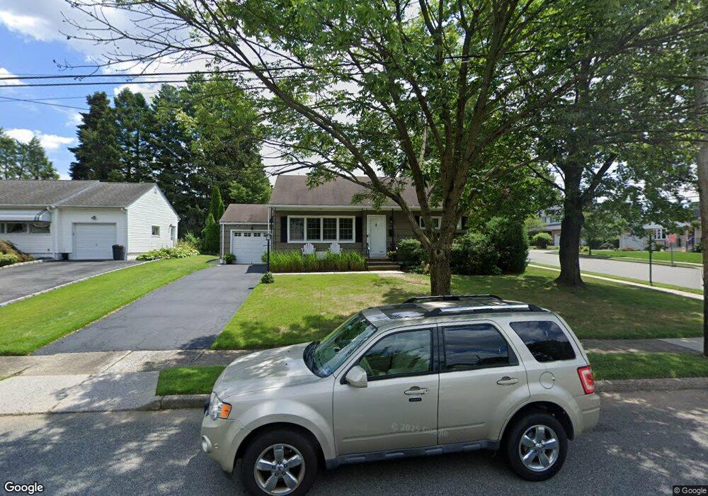
196 Normandy Rd Clifton, NJ 07013
Montclair Heights NeighborhoodEstimated Value: $513,354 - $736,000
Studio
--
Bath
1,078
Sq Ft
$584/Sq Ft
Est. Value
About This Home
This home is located at 196 Normandy Rd, Clifton, NJ 07013 and is currently estimated at $629,839, approximately $584 per square foot. 196 Normandy Rd is a home located in Passaic County with nearby schools including Clifton High School, Saint Philip the Apostle Preparatory School, and The Magical Palace of Knowledge.
Ownership History
Date
Name
Owned For
Owner Type
Purchase Details
Closed on
Aug 30, 2001
Sold by
Oehme Michael
Bought by
Kastner Scott and Kastner Kim
Current Estimated Value
Home Financials for this Owner
Home Financials are based on the most recent Mortgage that was taken out on this home.
Original Mortgage
$206,800
Interest Rate
6.92%
Purchase Details
Closed on
Nov 11, 1998
Sold by
Granese Ann Oehme and Oehme Ann
Bought by
Oehme Michael and Oehme Jane
Home Financials for this Owner
Home Financials are based on the most recent Mortgage that was taken out on this home.
Original Mortgage
$90,000
Interest Rate
6.65%
Create a Home Valuation Report for This Property
The Home Valuation Report is an in-depth analysis detailing your home's value as well as a comparison with similar homes in the area
Home Values in the Area
Average Home Value in this Area
Purchase History
| Date | Buyer | Sale Price | Title Company |
|---|---|---|---|
| Kastner Scott | $258,500 | -- | |
| Oehme Michael | $150,000 | -- |
Source: Public Records
Mortgage History
| Date | Status | Borrower | Loan Amount |
|---|---|---|---|
| Previous Owner | Kastner Scott | $206,800 | |
| Previous Owner | Oehme Michael | $90,000 |
Source: Public Records
Tax History
| Year | Tax Paid | Tax Assessment Tax Assessment Total Assessment is a certain percentage of the fair market value that is determined by local assessors to be the total taxable value of land and additions on the property. | Land | Improvement |
|---|---|---|---|---|
| 2025 | $10,982 | $185,000 | $111,600 | $73,400 |
| 2024 | $10,719 | $185,000 | $111,600 | $73,400 |
Source: Public Records
Map
Nearby Homes
- 605 F8 Grove St Unit F8
- 565 Grove St Unit B12
- 43 Graydon Terrace
- 479 Grove St
- 33 Graydon Terrace
- 605 Grove St Unit 11
- 605 Grove St Unit 8
- 605 Grove St Unit 16
- 41 Pino Ct
- 118 Country Ln
- 28 Charles St
- 77 Macarthur Dr
- 18 Adams Terrace Unit 2
- 54 Doherty Dr
- 22 Cliff Hill Rd
- 3 Slate Ct Unit C3
- 3 Slate Ct Unit 707
- 169 Haddenfield Rd
- 97 Long Hill Dr
- 12 Quartz Way
- 190 Normandy Rd
- 5 Dando Ct
- 11 Dando Ct
- 180 Robin Hood Rd
- 184 Normandy Rd
- 175 Robin Hood Rd
- 169 Robin Hood Rd
- 164 Robin Hood Rd
- 181 Robin Hood Rd
- 189 Normandy Rd
- 163 Robin Hood Rd
- 17 Dando Ct
- 178 Normandy Rd
- 183 Normandy Rd
- 187 Robin Hood Rd
- 157 Robin Hood Rd
- 36 Ronald Dr
- 44 Ronald Dr
- 28 Ronald Dr
- 192 Robin Hood Rd
Your Personal Tour Guide
Ask me questions while you tour the home.