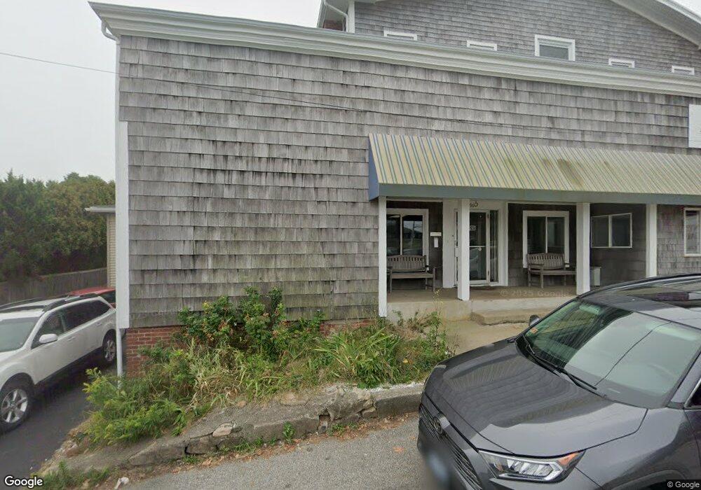
196 Ocean Rd Narragansett, RI 02882
Estimated Value: $1,684,463
--
Bed
--
Bath
5,676
Sq Ft
$297/Sq Ft
Est. Value
About This Home
This home is located at 196 Ocean Rd, Narragansett, RI 02882 and is currently estimated at $1,684,463, approximately $296 per square foot. 196 Ocean Rd is a home located in Washington County with nearby schools including Narragansett Elementary School, Narragansett Pier Middle School, and Narragansett High School.
Ownership History
Date
Name
Owned For
Owner Type
Purchase Details
Closed on
Jun 25, 2024
Sold by
Robenhymer Joseph
Bought by
Joseph and Joseph Loren A
Current Estimated Value
Purchase Details
Closed on
Apr 3, 1998
Sold by
Mccue Mary A Est
Bought by
Robenhymer Joseph
Home Financials for this Owner
Home Financials are based on the most recent Mortgage that was taken out on this home.
Original Mortgage
$265,000
Interest Rate
6.89%
Mortgage Type
Commercial
Create a Home Valuation Report for This Property
The Home Valuation Report is an in-depth analysis detailing your home's value as well as a comparison with similar homes in the area
Home Values in the Area
Average Home Value in this Area
Purchase History
| Date | Buyer | Sale Price | Title Company |
|---|---|---|---|
| Joseph | -- | None Available | |
| Joseph | -- | None Available | |
| Robenhymer Joseph | $315,000 | -- | |
| Robenhymer Joseph | $315,000 | -- |
Source: Public Records
Mortgage History
| Date | Status | Borrower | Loan Amount |
|---|---|---|---|
| Previous Owner | Robenhymer Joseph | $265,000 |
Source: Public Records
Tax History Compared to Growth
Tax History
| Year | Tax Paid | Tax Assessment Tax Assessment Total Assessment is a certain percentage of the fair market value that is determined by local assessors to be the total taxable value of land and additions on the property. | Land | Improvement |
|---|---|---|---|---|
| 2025 | $12,470 | $1,359,900 | $554,900 | $805,000 |
| 2024 | -- | $1,364,600 | $554,900 | $809,700 |
| 2023 | $0 | $1,134,700 | $460,200 | $674,500 |
| 2022 | $0 | $1,134,700 | $460,200 | $674,500 |
| 2021 | $0 | $1,134,700 | $460,200 | $674,500 |
| 2020 | $0 | $1,063,000 | $435,300 | $627,700 |
| 2019 | $0 | $1,063,000 | $435,300 | $627,700 |
| 2018 | $0 | $1,063,000 | $435,300 | $627,700 |
| 2017 | $0 | $825,800 | $447,000 | $378,800 |
| 2016 | -- | $825,800 | $447,000 | $378,800 |
| 2015 | -- | $825,800 | $447,000 | $378,800 |
| 2014 | -- | $794,000 | $447,000 | $347,000 |
Source: Public Records
Map
Nearby Homes
- 27 Westmoreland St
- 26 Westmoreland St
- 35 Anna Olivo Ct
- 126 Boon St
- 0 Hazard Ave
- 115 Kenyon Farm Rd
- 20 5th Ave
- 14 Robinson St
- 137 Kingstown Rd
- 137A Kingstown Rd
- 56 Wanda St
- 6 Pendleton Place
- 31 Avice St
- 285 Kingstown Rd
- 30 Sweet Meadows Ct Unit 26
- 19 Castle Rd
- 275 Boston Neck Rd
- 125 Woodruff Ave
- 0 Daytona Ave
- 576 Point Judith Rd