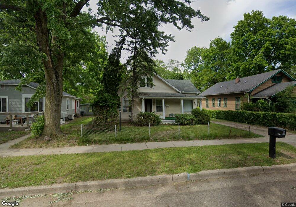
196 Roseneath Ave Battle Creek, MI 49037
North Central NeighborhoodEstimated Value: $98,720 - $106,000
3
Beds
1
Bath
1,208
Sq Ft
$86/Sq Ft
Est. Value
About This Home
This home is located at 196 Roseneath Ave, Battle Creek, MI 49037 and is currently estimated at $103,430, approximately $85 per square foot. 196 Roseneath Ave is a home located in Calhoun County with nearby schools including Dudley School, Northwestern Middle School, and Battle Creek Central High School.
Ownership History
Date
Name
Owned For
Owner Type
Purchase Details
Closed on
Jul 17, 2002
Sold by
Poole-Gray Patricia
Bought by
Poole Laurie
Current Estimated Value
Purchase Details
Closed on
Jan 8, 2002
Sold by
Poole Laurie
Purchase Details
Closed on
Feb 12, 2000
Sold by
Poole Laurie
Bought by
Poole-Gray Patricia
Purchase Details
Closed on
Feb 3, 1996
Sold by
Poole John A
Create a Home Valuation Report for This Property
The Home Valuation Report is an in-depth analysis detailing your home's value as well as a comparison with similar homes in the area
Home Values in the Area
Average Home Value in this Area
Purchase History
| Date | Buyer | Sale Price | Title Company |
|---|---|---|---|
| Poole Laurie | -- | -- | |
| -- | -- | -- | |
| Poole-Gray Patricia | $5,000 | -- | |
| -- | -- | -- |
Source: Public Records
Tax History Compared to Growth
Tax History
| Year | Tax Paid | Tax Assessment Tax Assessment Total Assessment is a certain percentage of the fair market value that is determined by local assessors to be the total taxable value of land and additions on the property. | Land | Improvement |
|---|---|---|---|---|
| 2025 | -- | $37,500 | $0 | $0 |
| 2024 | $929 | $31,514 | $0 | $0 |
| 2023 | $1,182 | $27,231 | $0 | $0 |
| 2022 | $839 | $24,049 | $0 | $0 |
| 2021 | $1,123 | $18,319 | $0 | $0 |
| 2020 | $1,071 | $17,065 | $0 | $0 |
| 2019 | $1,065 | $17,497 | $0 | $0 |
| 2018 | $1,065 | $18,205 | $500 | $17,705 |
| 2017 | $1,037 | $17,981 | $0 | $0 |
| 2016 | $1,034 | $19,068 | $0 | $0 |
| 2015 | $1,013 | $20,307 | $2,456 | $17,851 |
| 2014 | $1,013 | $15,772 | $2,456 | $13,316 |
Source: Public Records
Map
Nearby Homes
- 188 Roseneath Ave
- 224 Hubbard St
- 5 Beglin Ct
- 435 Kendall St N
- 216 Kendall St N
- 52 Roseneath Ave
- 253 Greenwood Ave
- 89 Somerset Ave
- 60 Graves Ave
- 69 Jordan St
- 129 Fox Ave
- 125 Oaklawn Ave
- 562 Van Buren St W
- 35 Hubbard St
- 0 W Vanburen 027 St Unit 22040287
- 0 W Vanburen 025 St Unit 22040286
- 0 W Vanburen 032 St Unit 22040288
- 0 W Michigan 011 Ave Unit 22040285
- 0 W Michigan 010 Ave Unit 22040284
- 46 Walter Ave
- 192 Roseneath Ave
- 318 Hubbard St
- 203 Roseneath Ave
- 189 Roseneath Ave
- 197 Roseneath Ave
- 180 Roseneath Ave
- 207 Roseneath Ave
- 176 Roseneath Ave
- 323 Hubbard St
- 342 Hubbard St
- 175 Roseneath Ave
- 298 Hubbard St
- 329 Wood St N
- 300 Hubbard St
- 348 Hubbard St
- 339 Wood St N
- 294 Hubbard St
- 292 Hubbard St
- 354 Hubbard St
- 345 Wood St N