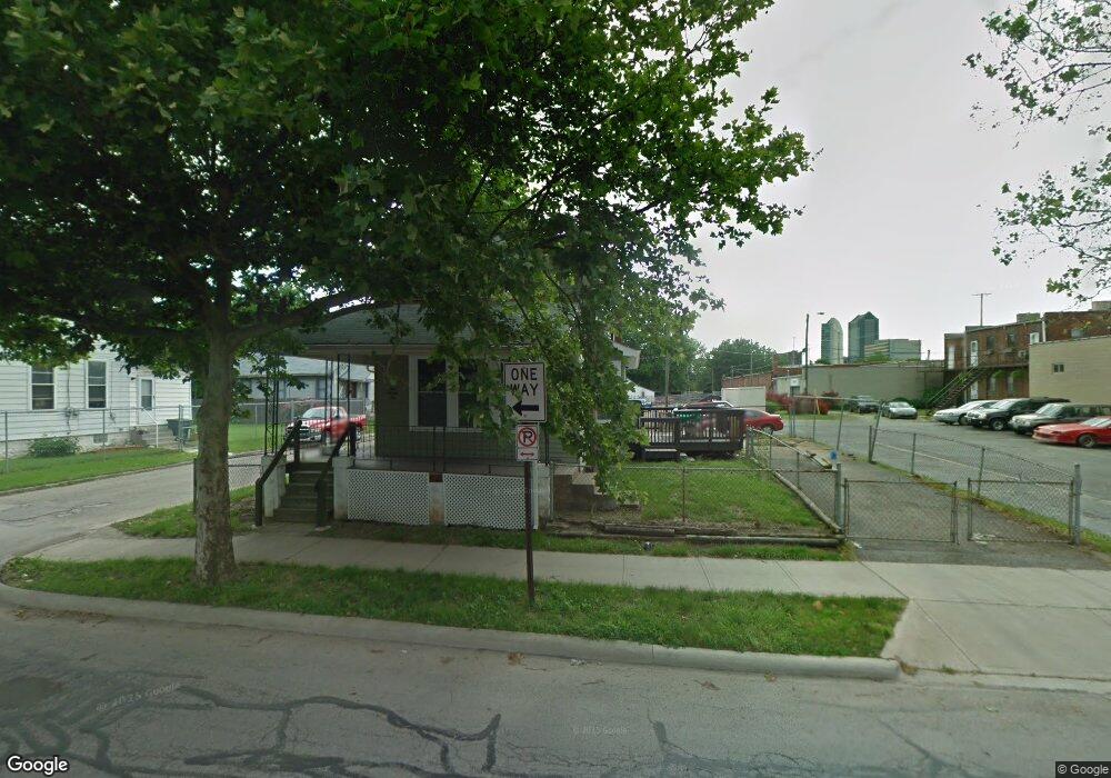
196 S Gift St Columbus, OH 43215
East Franklinton NeighborhoodEstimated Value: $119,066 - $216,000
2
Beds
1
Bath
1,620
Sq Ft
$100/Sq Ft
Est. Value
About This Home
This home is located at 196 S Gift St, Columbus, OH 43215 and is currently estimated at $162,517, approximately $100 per square foot. 196 S Gift St is a home located in Franklin County with nearby schools including Starling PK-8, Sullivant Elementary School, and West High School.
Ownership History
Date
Name
Owned For
Owner Type
Purchase Details
Closed on
May 20, 2009
Sold by
Bluegrass Properties Llc
Bought by
Newman Carl
Current Estimated Value
Home Financials for this Owner
Home Financials are based on the most recent Mortgage that was taken out on this home.
Original Mortgage
$12,000
Interest Rate
4.52%
Mortgage Type
Purchase Money Mortgage
Purchase Details
Closed on
Sep 6, 2005
Sold by
Lind John
Bought by
Bluegrass Properties Llc
Purchase Details
Closed on
Feb 24, 2005
Sold by
Bluegrass Properties Llc
Bought by
Lind John
Purchase Details
Closed on
Jun 25, 2004
Sold by
Lawson Patricia and Lawson Patricia Lynn
Bought by
Bluegrass Properties Llc
Purchase Details
Closed on
Jan 7, 2003
Sold by
Estate Of Allen Ted Lawson
Bought by
Lawson Patricia Lynn
Purchase Details
Closed on
Sep 17, 1984
Bought by
Lawson Allen and Lawson Patricia
Purchase Details
Closed on
Jun 1, 1984
Create a Home Valuation Report for This Property
The Home Valuation Report is an in-depth analysis detailing your home's value as well as a comparison with similar homes in the area
Home Values in the Area
Average Home Value in this Area
Purchase History
| Date | Buyer | Sale Price | Title Company |
|---|---|---|---|
| Newman Carl | $35,000 | None Available | |
| Bluegrass Properties Llc | -- | Elite Title | |
| Lind John | -- | -- | |
| Bluegrass Properties Llc | $10,000 | Preferred T | |
| Lawson Patricia Lynn | -- | -- | |
| Lawson Allen | $19,000 | -- | |
| -- | -- | -- |
Source: Public Records
Mortgage History
| Date | Status | Borrower | Loan Amount |
|---|---|---|---|
| Closed | Newman Carl | $12,000 |
Source: Public Records
Tax History
| Year | Tax Paid | Tax Assessment Tax Assessment Total Assessment is a certain percentage of the fair market value that is determined by local assessors to be the total taxable value of land and additions on the property. | Land | Improvement |
|---|---|---|---|---|
| 2025 | $3,740 | $21,000 | $4,270 | $16,730 |
| 2024 | $3,740 | $21,000 | $4,270 | $16,730 |
| 2023 | $2,023 | $42,980 | $25,130 | $17,850 |
| 2022 | $1,387 | $16,350 | $1,190 | $15,160 |
| 2021 | $926 | $16,350 | $1,190 | $15,160 |
| 2020 | $914 | $16,350 | $1,190 | $15,160 |
| 2019 | $826 | $13,620 | $980 | $12,640 |
| 2018 | $781 | $13,620 | $980 | $12,640 |
| 2017 | $793 | $13,620 | $980 | $12,640 |
| 2016 | $790 | $11,480 | $1,400 | $10,080 |
| 2015 | $738 | $11,480 | $1,400 | $10,080 |
| 2014 | $692 | $11,480 | $1,400 | $10,080 |
| 2013 | $379 | $12,740 | $1,540 | $11,200 |
Source: Public Records
Map
Nearby Homes
- 538 W Town St
- 546 W Town St
- 536 W Town St
- 642 Sullivant Ave Unit 642
- 498 W Town St
- 0 S Green St
- 753 1/2 Sullivant Ave
- 45 N Hartford Ave
- 49 S Hartford Ave
- 45 S Hartford Ave
- 1 Miranova Place Unit 2200
- 1 Miranova Place Unit 730
- 1 Miranova Place Unit 2030
- 1 Miranova Place Unit 1220
- 1 Miranova Place Unit 1610
- 155 W Main St Unit 1105
- 155 W Main St Unit 1205
- 155 W Main St Unit 802
- 155 W Main St Unit 1901
- 378 Hawkes Ave
Your Personal Tour Guide
Ask me questions while you tour the home.