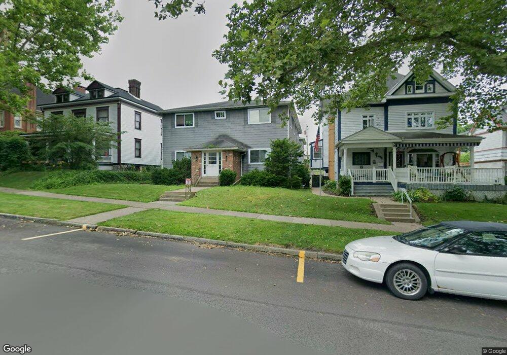
196 Washington Ave Unit B10 Vandergrift, PA 15690
Estimated Value: $80,009 - $359,000
--
Bed
--
Bath
4,529
Sq Ft
$42/Sq Ft
Est. Value
About This Home
This home is located at 196 Washington Ave Unit B10, Vandergrift, PA 15690 and is currently estimated at $190,752, approximately $42 per square foot. 196 Washington Ave Unit B10 is a home located in Westmoreland County with nearby schools including Kiski Area High School.
Ownership History
Date
Name
Owned For
Owner Type
Purchase Details
Closed on
Sep 9, 2016
Sold by
Mccutcheon Eric
Bought by
Johngarlo Gary and Solomon Susan
Current Estimated Value
Home Financials for this Owner
Home Financials are based on the most recent Mortgage that was taken out on this home.
Original Mortgage
$70,000
Interest Rate
3.47%
Mortgage Type
Commercial
Purchase Details
Closed on
Apr 2, 2012
Sold by
Mccutcheon Gerald D and Mccutcheon Andrea
Bought by
Mccutcheon Eric
Create a Home Valuation Report for This Property
The Home Valuation Report is an in-depth analysis detailing your home's value as well as a comparison with similar homes in the area
Home Values in the Area
Average Home Value in this Area
Purchase History
| Date | Buyer | Sale Price | Title Company |
|---|---|---|---|
| Johngarlo Gary | $70,000 | None Available | |
| Mccutcheon Eric | -- | None Available |
Source: Public Records
Mortgage History
| Date | Status | Borrower | Loan Amount |
|---|---|---|---|
| Previous Owner | Johngarlo Gary | $70,000 |
Source: Public Records
Tax History Compared to Growth
Tax History
| Year | Tax Paid | Tax Assessment Tax Assessment Total Assessment is a certain percentage of the fair market value that is determined by local assessors to be the total taxable value of land and additions on the property. | Land | Improvement |
|---|---|---|---|---|
| 2025 | $4,846 | $29,700 | $4,310 | $25,390 |
| 2024 | $4,616 | $29,700 | $4,310 | $25,390 |
| 2023 | $4,249 | $29,700 | $4,310 | $25,390 |
| 2022 | $4,161 | $29,700 | $4,310 | $25,390 |
| 2021 | $4,161 | $29,700 | $4,310 | $25,390 |
| 2020 | $4,151 | $29,700 | $4,310 | $25,390 |
| 2019 | $4,136 | $29,700 | $4,310 | $25,390 |
| 2018 | $4,077 | $29,700 | $4,310 | $25,390 |
| 2017 | $3,988 | $33,730 | $4,310 | $29,420 |
| 2016 | $4,467 | $33,730 | $4,310 | $29,420 |
| 2015 | $4,467 | $33,730 | $4,310 | $29,420 |
| 2014 | $4,446 | $33,730 | $4,310 | $29,420 |
Source: Public Records
Map
Nearby Homes
- 404 1/2 Franklin Ave
- 419 Vandergrift Ln
- 325 -1/2 Quay St
- 154 Jefferson Ave Unit 6
- 219 Quay St
- 608 Kennedy Ave
- 121 Hamilton Ave
- 112 Farragut Ave Unit 3
- 716 Kennedy Ave
- 107 Sumner Ave
- 311 Elm St
- 314 Linden St
- 137 Sherman Ave
- 315 Spruce St
- 133 Sherman Ave
- 129 Franklin Ave
- 323 Sycamore St
- 410 Longfellow St
- 517 Sycamore St
- 1252 Jefferson St
- 196 Washington Ave
- 200 Washington Ave
- 194 Washington Ave
- 202 Washington Ave
- 192 Washington Ave
- 190 Washington Ave
- 204 Washington Ave
- 204 Washington Ave
- 188 Washington Ave
- 206 Washington Ave
- 199 Washington Ave
- 203 Washington Ave
- 207 Washington Ave Unit 11
- 186 Washington Ave
- 213 Washington Ave
- 209 Washington Ave
- 208 Washington Ave
- 211 Washington Ave
- 184 Washington Ave
- 215 Washington Ave