1960 Bloxham Rd Pea Ridge, AR 72751
Estimated Value: $349,000 - $674,000
--
Bed
2
Baths
2,600
Sq Ft
$169/Sq Ft
Est. Value
About This Home
This home is located at 1960 Bloxham Rd, Pea Ridge, AR 72751 and is currently estimated at $439,319, approximately $168 per square foot. 1960 Bloxham Rd is a home located in Benton County with nearby schools including Pea Ridge Intermediate School, Pea Ridge Primary School, and Pea Ridge Middle School.
Ownership History
Date
Name
Owned For
Owner Type
Purchase Details
Closed on
Dec 22, 2010
Sold by
Bloxham Neil and Bloxham Diane
Bought by
Bloxham Neil and Bloxham Diane
Current Estimated Value
Home Financials for this Owner
Home Financials are based on the most recent Mortgage that was taken out on this home.
Original Mortgage
$64,372
Outstanding Balance
$42,831
Interest Rate
4.36%
Mortgage Type
New Conventional
Estimated Equity
$396,488
Purchase Details
Closed on
Jul 17, 1999
Bought by
Dod 07-17-1999
Purchase Details
Closed on
Dec 19, 1981
Bought by
N and A
Create a Home Valuation Report for This Property
The Home Valuation Report is an in-depth analysis detailing your home's value as well as a comparison with similar homes in the area
Home Values in the Area
Average Home Value in this Area
Purchase History
| Date | Buyer | Sale Price | Title Company |
|---|---|---|---|
| Bloxham Neil | -- | Waco | |
| Dod 07-17-1999 | -- | -- | |
| N | -- | -- |
Source: Public Records
Mortgage History
| Date | Status | Borrower | Loan Amount |
|---|---|---|---|
| Open | Bloxham Neil | $64,372 |
Source: Public Records
Tax History Compared to Growth
Tax History
| Year | Tax Paid | Tax Assessment Tax Assessment Total Assessment is a certain percentage of the fair market value that is determined by local assessors to be the total taxable value of land and additions on the property. | Land | Improvement |
|---|---|---|---|---|
| 2025 | $1,845 | $72,624 | $12,400 | $60,224 |
| 2024 | $1,783 | $72,624 | $12,400 | $60,224 |
| 2023 | $1,720 | $50,900 | $4,710 | $46,190 |
| 2022 | $1,378 | $50,900 | $4,710 | $46,190 |
| 2021 | $1,323 | $50,900 | $4,710 | $46,190 |
| 2020 | $1,319 | $36,420 | $1,860 | $34,560 |
| 2019 | $1,284 | $36,420 | $1,860 | $34,560 |
| 2018 | $1,275 | $36,420 | $1,860 | $34,560 |
| 2017 | $1,097 | $36,420 | $1,860 | $34,560 |
| 2016 | $1,097 | $36,420 | $1,860 | $34,560 |
| 2015 | $1,415 | $27,260 | $3,440 | $23,820 |
| 2014 | $1,065 | $27,260 | $3,440 | $23,820 |
Source: Public Records
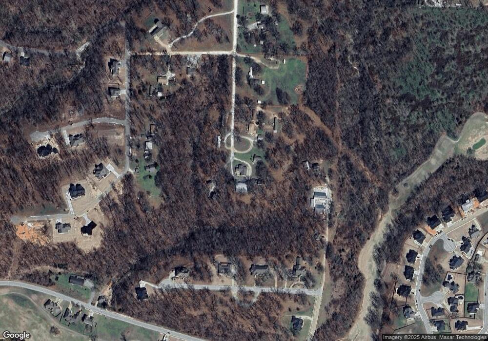
Map
Nearby Homes
- 5AC Captain Miller Blvd
- 561 Oneida Cir
- 738 Cardin Spur
- 560 Forrest Dr
- 21.4 AC Sugar Creek Rd
- 21 AC Sugar Creek Rd
- 0 Sugar Creek Rd
- 542 Oneida Cir
- 575 Sugar Creek Rd
- 1965 Collins Dr
- 1421 Lee St
- 1417 Lee St
- Lot 36 & 37 Hopkins Ln
- Lot 36 Hopkins Ln
- Lot 37 Hopkins Ln
- 1660 Conrad St
- 2585 Peck Rd
- 2170 Hopkins Ln
- 1596 Winters St
- 1125 Bunker Dr
- 1970 Bloxham Rd
- 1859 Bloxham Rd
- 1909 Bloxham Rd
- 1854 Bloxham Rd
- 1768 Bloxham Rd
- 695 Cardin Rd
- 725 Cardin Rd
- 2263 Captain Miller St
- 2255 Captain Miller Blvd
- 980 Captain Good St
- 880 Captain Good St
- 751 Cardin Rd
- 1000 Captain Good St
- 780 Captain Good St
- 0 Captain Good St Unit 1108397
- 0 Captain Good St Unit 1108412
- 0 Captain Good St Unit 1108399
- 0 Captain Good St Unit 1108404
- 0 Captain Good St Unit 1108410
- 0 Captain Good St Unit 1108411