1960 Fire Rock Loop Templeton, CA 93465
Estimated Value: $2,343,000 - $2,538,000
4
Beds
6
Baths
3,557
Sq Ft
$691/Sq Ft
Est. Value
About This Home
This home is located at 1960 Fire Rock Loop, Templeton, CA 93465 and is currently estimated at $2,457,204, approximately $690 per square foot. 1960 Fire Rock Loop is a home with nearby schools including Pat Butler Elementary School, George H. Flamson Middle School, and Paso Robles High School.
Ownership History
Date
Name
Owned For
Owner Type
Purchase Details
Closed on
May 23, 2018
Sold by
Erskine Thomas H
Bought by
Cauley Russell E and Cauley Deborah S
Current Estimated Value
Purchase Details
Closed on
Sep 25, 2015
Sold by
Re Future Llc
Bought by
Erskine Thomas H
Purchase Details
Closed on
Jan 4, 2011
Sold by
Weyrich Development Company Inc
Bought by
Re Future Llc
Create a Home Valuation Report for This Property
The Home Valuation Report is an in-depth analysis detailing your home's value as well as a comparison with similar homes in the area
Purchase History
| Date | Buyer | Sale Price | Title Company |
|---|---|---|---|
| Cauley Russell E | $369,000 | First American Title Co | |
| Erskine Thomas H | $675,000 | First American Title Company | |
| Re Future Llc | $8,230,000 | First American Title Ins Co |
Source: Public Records
Tax History
| Year | Tax Paid | Tax Assessment Tax Assessment Total Assessment is a certain percentage of the fair market value that is determined by local assessors to be the total taxable value of land and additions on the property. | Land | Improvement |
|---|---|---|---|---|
| 2025 | $20,162 | $1,912,680 | $583,903 | $1,328,777 |
| 2024 | $19,797 | $1,875,177 | $572,454 | $1,302,723 |
| 2023 | $19,797 | $1,838,410 | $561,230 | $1,277,180 |
| 2022 | $19,456 | $1,802,364 | $550,226 | $1,252,138 |
| 2021 | $19,073 | $1,767,025 | $539,438 | $1,227,587 |
| 2020 | $7,578 | $699,307 | $383,907 | $315,400 |
| 2019 | $4,079 | $376,380 | $376,380 | $0 |
| 2018 | $1,522 | $140,454 | $140,454 | $0 |
| 2017 | $1,425 | $137,700 | $137,700 | $0 |
| 2016 | $1,397 | $135,000 | $135,000 | $0 |
| 2015 | $1,379 | $133,250 | $133,250 | $0 |
| 2014 | $1,327 | $130,640 | $130,640 | $0 |
Source: Public Records
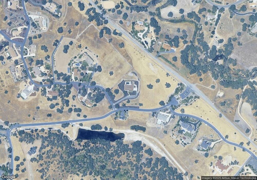
Map
Nearby Homes
- 1920 Fire Rock Loop
- 1880 Fire Rock Loop
- 1810 LOT 28 Fire Rock Loop
- 1505 Barley Grain Rd
- 2220 Battering Rock Rd
- 1320 Fire Rock Loop
- 1410 Fire Rock Loop
- 1655 Barley Grain Rd
- 2264 Lake Ysabel Rd
- 1690 Barley Grain Rd
- 2438 Battering Rock Rd
- 829 Saint Andrews Cir
- 795 Angus St
- 907 Saint Ann Dr
- 911 Saint Ann Dr
- 2035 Calle Pattito
- 1165 Mazzini Rd
- 1166 Mazzini Rd
- 1160 Mazzini Rd
- 253 Silver Oak Dr
- 1920 Fire Rock Loop Unit 32
- 1920 Fire Rock Loop
- 1840 Fire Rock Loop
- 1983 Lake Ysabel Rd
- 1983 Lake Ysabel Rd Unit 33
- 1880 Fire Rock Loop
- 1880 Fire Rock Loop Unit 30
- 1825 Fire Rock Loop
- 1810 Fire Rock Loop Unit 28
- 1978 Lake Ysabel Rd
- 1975 Lake Ysabel Rd
- 1975 Lake Ysabel Rd Unit 34
- 1975 Lake Ysabel Rd
- 1640 S River Rd
- 1755 Fire Rock Loop
- 1760 Fire Rock Loop Unit 29
- 1760 Fire Rock Loop
- 1760 Fire Rock Loop
- 1680 S River Rd
- 1720 Fire Rock Loop
Your Personal Tour Guide
Ask me questions while you tour the home.