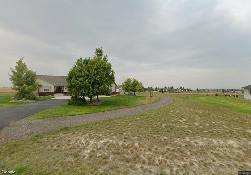
1960 Harvest Loop East Helena, MT 59635
Estimated Value: $659,000 - $766,311
3
Beds
3
Baths
2,096
Sq Ft
$342/Sq Ft
Est. Value
About This Home
This home is located at 1960 Harvest Loop, East Helena, MT 59635 and is currently estimated at $716,328, approximately $341 per square foot. 1960 Harvest Loop is a home located in Lewis and Clark County with nearby schools including Eastgate School, Radley Elementary School, and Prickly Pear Elementary School.
Ownership History
Date
Name
Owned For
Owner Type
Purchase Details
Closed on
Aug 6, 2015
Sold by
Komac Matthew and Komac Ashley
Bought by
Komac Matthew and Komac Ashley
Current Estimated Value
Purchase Details
Closed on
Jun 5, 2015
Sold by
May Jeremy and May Linda
Bought by
Komac Matthew and Vansickle Ashley
Home Financials for this Owner
Home Financials are based on the most recent Mortgage that was taken out on this home.
Original Mortgage
$320,000
Outstanding Balance
$246,693
Interest Rate
3.62%
Mortgage Type
New Conventional
Estimated Equity
$469,635
Purchase Details
Closed on
Feb 8, 2007
Sold by
Kenison Robert S and Kenison Barbara
Bought by
Kenison Family Construction Inc
Create a Home Valuation Report for This Property
The Home Valuation Report is an in-depth analysis detailing your home's value as well as a comparison with similar homes in the area
Purchase History
| Date | Buyer | Sale Price | Title Company |
|---|---|---|---|
| Komac Matthew | -- | Chicago Title Company | |
| Komac Matthew | -- | Chicago Title Company | |
| Kenison Family Construction Inc | -- | First Montana Title Company | |
| Kenison Robert S | -- | First Montana Title Company |
Source: Public Records
Mortgage History
| Date | Status | Borrower | Loan Amount |
|---|---|---|---|
| Open | Komac Matthew | $320,000 |
Source: Public Records
Tax History
| Year | Tax Paid | Tax Assessment Tax Assessment Total Assessment is a certain percentage of the fair market value that is determined by local assessors to be the total taxable value of land and additions on the property. | Land | Improvement |
|---|---|---|---|---|
| 2025 | $3,654 | $774,900 | $0 | $0 |
| 2024 | $4,809 | $640,600 | $0 | $0 |
| 2023 | $5,344 | $640,600 | $0 | $0 |
| 2022 | $4,671 | $458,000 | $0 | $0 |
| 2021 | $4,491 | $458,000 | $0 | $0 |
| 2020 | $4,681 | $428,600 | $0 | $0 |
| 2019 | $4,872 | $428,600 | $0 | $0 |
| 2018 | $4,100 | $362,900 | $0 | $0 |
| 2017 | $3,009 | $362,900 | $0 | $0 |
| 2016 | $3,097 | $319,600 | $0 | $0 |
| 2015 | $2,573 | $305,500 | $0 | $0 |
| 2014 | $3,028 | $196,683 | $0 | $0 |
Source: Public Records
Map
Nearby Homes
- 1920 Martha Dr
- 2188 Spring Wheat Loop
- 2204 Dryland Loop
- 2244 Dryland Loop
- 5974 Johnson Rd
- 3135 Tiber Ct
- 3174 Steptoe Ct
- 5755 Ogle View Rd
- 6045 Canyon Ferry Rd
- 67 L F Baum Rd
- 2961 Canyon Ridge Dr
- 6285 Elkhorn Rd
- 2905 Ranger Dr
- 3017 Ranger Dr
- 2315 Cattle Dr
- 5417 Peppergrass Rd
- 5515 Thimbleberry Loop
- 3108 Holmberg Dr
- 5468 Fireweed Loop
- 3840 Grouseberry
- 1954 Harvest Loop
- 1966 Harvest Loop
- 1961 Harvest Loop
- 1948 Harvest Loop
- 2266 Crested Wheat Loop
- 1972 Harvest Loop
- 1969 Harvest Loop
- 2274 Crested Wheat Loop
- 2258 Crested Wheat Loop
- 1937 Harvest Loop
- 1942 Harvest Loop
- 1925 Harvest Loop
- 1978 Harvest Loop
- 1930 Spokane Creek Rd
- 1936 Harvest Loop
- 1981 Harvest Loop
- 2282 Crested Wheat Loop
- 2165 Bushel Dr
- 2248 Crested Wheat Loop
- 2279 Crested Wheat Loop
Your Personal Tour Guide
Ask me questions while you tour the home.