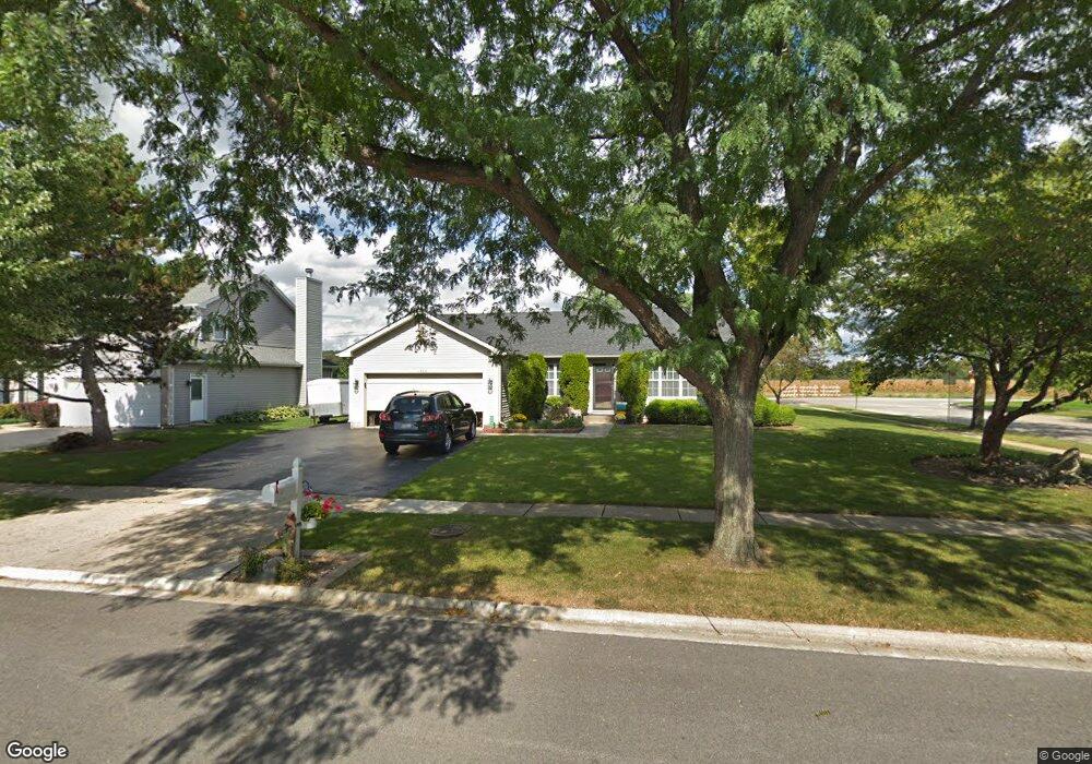
1960 Honey Locust Dr Algonquin, IL 60102
Estimated Value: $369,897 - $415,000
3
Beds
2
Baths
1,530
Sq Ft
$254/Sq Ft
Est. Value
About This Home
This home is located at 1960 Honey Locust Dr, Algonquin, IL 60102 and is currently estimated at $387,974, approximately $253 per square foot. 1960 Honey Locust Dr is a home located in McHenry County with nearby schools including Algonquin Lakes Elementary School, Algonquin Middle School, and Dundee-Crown High School.
Ownership History
Date
Name
Owned For
Owner Type
Purchase Details
Closed on
Nov 9, 2020
Sold by
Kielbasa Daniel T and Kielbasa Kathleen A
Bought by
Kielbasa Daniel T and Kielbasa Kathleen A
Current Estimated Value
Purchase Details
Closed on
Oct 23, 1998
Sold by
Franse Ben M and Franse Sheri L
Bought by
Kielbasa Daniel T and Kielbasa Kathleen A
Home Financials for this Owner
Home Financials are based on the most recent Mortgage that was taken out on this home.
Original Mortgage
$136,000
Interest Rate
6.68%
Create a Home Valuation Report for This Property
The Home Valuation Report is an in-depth analysis detailing your home's value as well as a comparison with similar homes in the area
Home Values in the Area
Average Home Value in this Area
Purchase History
| Date | Buyer | Sale Price | Title Company |
|---|---|---|---|
| Kielbasa Daniel T | -- | None Listed On Document | |
| Kielbasa Daniel T | $172,000 | Attorneys Title Guaranty Fun |
Source: Public Records
Mortgage History
| Date | Status | Borrower | Loan Amount |
|---|---|---|---|
| Previous Owner | Kielbasa Daniel T | $136,000 |
Source: Public Records
Tax History Compared to Growth
Tax History
| Year | Tax Paid | Tax Assessment Tax Assessment Total Assessment is a certain percentage of the fair market value that is determined by local assessors to be the total taxable value of land and additions on the property. | Land | Improvement |
|---|---|---|---|---|
| 2024 | -- | $116,514 | $23,469 | $93,045 |
| 2023 | -- | $104,207 | $20,990 | $83,217 |
| 2022 | $0 | $79,863 | $20,766 | $59,097 |
| 2021 | $0 | $74,402 | $19,346 | $55,056 |
| 2020 | $0 | $71,768 | $18,661 | $53,107 |
| 2019 | $0 | $68,691 | $17,861 | $50,830 |
| 2018 | $0 | $76,200 | $19,299 | $56,901 |
| 2017 | $6,053 | $71,785 | $18,181 | $53,604 |
| 2016 | $0 | $67,328 | $17,052 | $50,276 |
| 2013 | -- | $59,926 | $15,907 | $44,019 |
Source: Public Records
Map
Nearby Homes
- 2008 Clematis Dr
- 605 Claymont Ct
- 1561 Cumberland Pkwy
- 1782 Cumberland Pkwy
- 2 Cumberland Pkwy
- 1439 Lowe Dr
- 620 Old Oak Cir
- 1943 Ozark Pkwy
- 1770 E Algonquin Rd
- 1659 E Algonquin Rd
- Lot 4 b Ryan Pkwy
- 920 Plymouth Ct
- 903 Old Oak Cir
- 911 Old Oak Cir Unit 1
- 1514 N Harrison St
- 14 Oxford Ct
- 1188 E Algonquin Rd
- 925 N River Rd
- 2150 E Algonquin Rd
- 1670 Yosemite Pkwy
- 1950 Honey Locust Dr
- 2000 Honey Locust Dr
- 1940 Honey Locust Dr
- 1941 Honey Locust Dr
- 1931 Honey Locust Dr
- 1930 Honey Locust Dr
- 2010 Honey Locust Dr
- 2001 Honey Locust Dr
- 1921 Honey Locust Dr
- 1920 Honey Locust Dr
- 1911 Honey Locust Dr
- 2011 Honey Locust Dr
- 2020 Honey Locust Dr
- 610 Glacier Pkwy
- 611 Glacier Pkwy
- 620 Glacier Pkwy
- 2021 Honey Locust Dr
- 1053 Honey Locust Dr
- 1910 Honey Locust Dr
- 1042 Honey Locust Dr