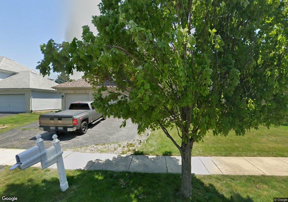
1960 Lisson Rd Naperville, IL 60565
University Heights NeighborhoodEstimated Value: $669,264 - $759,000
Studio
1
Bath
2,747
Sq Ft
$262/Sq Ft
Est. Value
About This Home
This home is located at 1960 Lisson Rd, Naperville, IL 60565 and is currently estimated at $718,816, approximately $261 per square foot. 1960 Lisson Rd is a home located in DuPage County with nearby schools including Meadow Glens Elementary School, Madison Jr High School, and Naperville Central High School.
Ownership History
Date
Name
Owned For
Owner Type
Purchase Details
Closed on
Jul 9, 1996
Sold by
Dunwoody Terrylon W and Dunwoody Linda J
Bought by
Simos Daniel M and Simos Sandra R
Current Estimated Value
Home Financials for this Owner
Home Financials are based on the most recent Mortgage that was taken out on this home.
Original Mortgage
$198,400
Outstanding Balance
$14,191
Interest Rate
8.12%
Estimated Equity
$704,625
Create a Home Valuation Report for This Property
The Home Valuation Report is an in-depth analysis detailing your home's value as well as a comparison with similar homes in the area
Home Values in the Area
Average Home Value in this Area
Purchase History
| Date | Buyer | Sale Price | Title Company |
|---|---|---|---|
| Simos Daniel M | $248,000 | -- |
Source: Public Records
Mortgage History
| Date | Status | Borrower | Loan Amount |
|---|---|---|---|
| Open | Simos Daniel M | $198,400 |
Source: Public Records
Tax History
| Year | Tax Paid | Tax Assessment Tax Assessment Total Assessment is a certain percentage of the fair market value that is determined by local assessors to be the total taxable value of land and additions on the property. | Land | Improvement |
|---|---|---|---|---|
| 2024 | $11,115 | $189,436 | $69,566 | $119,870 |
| 2023 | $10,714 | $172,890 | $63,490 | $109,400 |
| 2022 | $9,973 | $160,090 | $58,790 | $101,300 |
| 2021 | $9,609 | $154,040 | $56,570 | $97,470 |
| 2020 | $9,405 | $151,270 | $55,550 | $95,720 |
| 2019 | $9,131 | $144,730 | $53,150 | $91,580 |
| 2018 | $9,134 | $144,730 | $53,150 | $91,580 |
| 2017 | $8,951 | $139,850 | $51,360 | $88,490 |
| 2016 | $8,772 | $134,790 | $49,500 | $85,290 |
| 2015 | $8,717 | $126,930 | $46,610 | $80,320 |
| 2014 | $8,861 | $125,050 | $45,920 | $79,130 |
| 2013 | $8,728 | $125,350 | $46,030 | $79,320 |
Source: Public Records
Map
Nearby Homes
- 1406 River Oak Dr
- 1217 River Oak Dr
- 2103 Primrose Ln
- 1123 Mill Race Ln
- 2243 Aster Ct
- 2250 Lisson Rd
- 1612 Indian Trail Dr
- 805 Potomac Ave
- 1120 Colgate Ct
- 621 Bourbon Ct
- 1877 Appaloosa Dr
- 517 Sheffield Rd
- 1715 Amelia Ct
- 25 W 500 Royce Rd
- 425 Carriage Hill Rd
- 1509 Shiva Ln
- 1712 Coach Dr
- 307 Leeds Ct
- 264 E Bailey Rd Unit C
- 1546 Treeline Ct Unit 405
- 1956 Lisson Rd
- 1964 Lisson Rd
- 1968 Lisson Rd Unit 11
- 1420 Canyon Run Rd
- 1424 Canyon Run Rd
- 1311 Baylor Ct
- 1972 Lisson Rd
- 1318 Baylor Ct
- 1412 Canyon Run Rd Unit 3A
- 1976 Lisson Rd
- 1314 Baylor Ct
- 1307 Baylor Ct
- 1638 Ithaca Dr
- 1936 Lisson Rd
- 1428 Canyon Run Rd
- 1310 Baylor Ct
- 1333 Purdue Ave
- 1406 Canyon Run Rd
- 1642 Ithaca Dr
- 1427 Canyon Run Rd
Your Personal Tour Guide
Ask me questions while you tour the home.