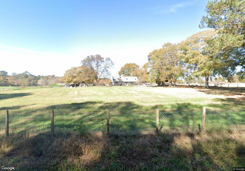
1960 Sheffield Rd NE Conyers, GA 30012
Estimated Value: $339,000 - $449,000
5
Beds
3
Baths
2,520
Sq Ft
$160/Sq Ft
Est. Value
About This Home
This home is located at 1960 Sheffield Rd NE, Conyers, GA 30012 and is currently estimated at $402,089, approximately $159 per square foot. 1960 Sheffield Rd NE is a home located in Rockdale County with nearby schools including Hightower Trail Elementary School, Conyers Middle School, and Rockdale County High School.
Ownership History
Date
Name
Owned For
Owner Type
Purchase Details
Closed on
Jan 19, 2010
Sold by
Cannon Bentley P and Cannon Dawna F
Bought by
Cannon Bentley P and Cannon Dawna F
Current Estimated Value
Home Financials for this Owner
Home Financials are based on the most recent Mortgage that was taken out on this home.
Original Mortgage
$55,000
Interest Rate
4.41%
Mortgage Type
New Conventional
Create a Home Valuation Report for This Property
The Home Valuation Report is an in-depth analysis detailing your home's value as well as a comparison with similar homes in the area
Home Values in the Area
Average Home Value in this Area
Purchase History
| Date | Buyer | Sale Price | Title Company |
|---|---|---|---|
| Cannon Bentley P | -- | -- |
Source: Public Records
Mortgage History
| Date | Status | Borrower | Loan Amount |
|---|---|---|---|
| Previous Owner | Cannon Bentley P | $55,000 |
Source: Public Records
Tax History Compared to Growth
Tax History
| Year | Tax Paid | Tax Assessment Tax Assessment Total Assessment is a certain percentage of the fair market value that is determined by local assessors to be the total taxable value of land and additions on the property. | Land | Improvement |
|---|---|---|---|---|
| 2024 | $2,765 | $145,360 | $21,160 | $124,200 |
| 2023 | $1,067 | $85,200 | $20,120 | $65,080 |
| 2022 | $1,302 | $77,640 | $20,120 | $57,520 |
| 2021 | $1,299 | $74,560 | $17,040 | $57,520 |
| 2020 | $1,179 | $70,680 | $13,160 | $57,520 |
| 2019 | $933 | $61,400 | $13,160 | $48,240 |
| 2018 | $743 | $55,080 | $9,280 | $45,800 |
| 2017 | $533 | $48,120 | $9,280 | $38,840 |
| 2016 | $581 | $52,560 | $9,280 | $43,280 |
| 2015 | $347 | $44,480 | $9,280 | $35,200 |
| 2014 | $230 | $42,080 | $9,280 | $32,800 |
| 2013 | -- | $51,680 | $11,600 | $40,080 |
Source: Public Records
Map
Nearby Homes
- 3999 Highway 20 NE
- 1103 Wallington Ct NW
- 2152 Black Shoals Rd NE
- 2210 Black Shoals Rd NE
- 1106 Wallington Ct NW
- 1030 Lake Haynes Dr NE
- 4189 Haralson Mill Rd NE
- 3661 Acorn Ct NE
- 2541 Bethel Rd NE
- 2240 Wilzman Trail
- 370 Rosetta Ln NW
- 4604 Highway 20 NE
- 4759 Highway 20 NE
- 2697 Bethel Rd NE
- 2737 Bethel Rd NE
- 4656 Bryant Rd
- 3880 Irwin Bridge Rd NW
- 3058 White Rd NE
- 3890 Irwin Bridge Rd NW
- 1901 Sheffield Rd NE
- 2001 Sheffield Rd NE
- 1951 Sheffield Rd NE
- 1931 Bethel Rd NE
- 1881 Sheffield Rd NE
- 3955 Highway 20 NE
- 1840 Sheffield Rd NE
- 1855 Sheffield Rd NE
- 2065 Sheffield Rd NE
- 2041 Bethel Rd NE
- 2051 Bethel Rd NE
- 2061 Bethel Rd NE
- 1835 Sheffield Rd NE
- 2009 Bethel Rd NE
- 2008 Bethel Rd NE
- 1819 Sheffield Rd NE
- 0 Fork Rd NE Unit 8859680
- 0 Fork Rd NE Unit 8296288
- 0 Fork Rd NE
- 1950 Bethel Rd NE