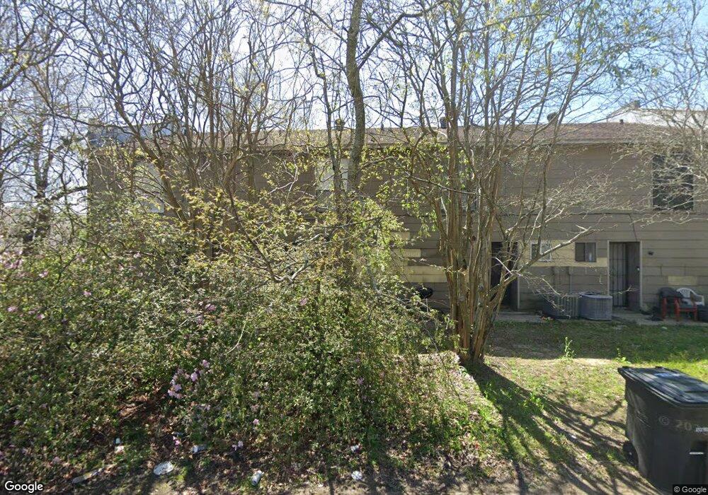
1960 Southpointe Dr Baton Rouge, LA 70808
Highlands/Perkins NeighborhoodEstimated Value: $222,000 - $378,000
20
Beds
8
Baths
4,450
Sq Ft
$68/Sq Ft
Est. Value
About This Home
This home is located at 1960 Southpointe Dr, Baton Rouge, LA 70808 and is currently estimated at $301,733, approximately $67 per square foot. 1960 Southpointe Dr is a home located in East Baton Rouge Parish with nearby schools including Westminster Elementary School, Westdale Middle School, and Tara High School.
Ownership History
Date
Name
Owned For
Owner Type
Purchase Details
Closed on
Aug 31, 2010
Sold by
Dougherty Bruce
Bought by
Turner Daniel
Current Estimated Value
Home Financials for this Owner
Home Financials are based on the most recent Mortgage that was taken out on this home.
Original Mortgage
$147,907
Outstanding Balance
$98,359
Interest Rate
4.58%
Mortgage Type
FHA
Estimated Equity
$203,374
Create a Home Valuation Report for This Property
The Home Valuation Report is an in-depth analysis detailing your home's value as well as a comparison with similar homes in the area
Home Values in the Area
Average Home Value in this Area
Purchase History
| Date | Buyer | Sale Price | Title Company |
|---|---|---|---|
| Turner Daniel | $149,900 | -- |
Source: Public Records
Mortgage History
| Date | Status | Borrower | Loan Amount |
|---|---|---|---|
| Open | Turner Daniel | $147,907 |
Source: Public Records
Tax History Compared to Growth
Tax History
| Year | Tax Paid | Tax Assessment Tax Assessment Total Assessment is a certain percentage of the fair market value that is determined by local assessors to be the total taxable value of land and additions on the property. | Land | Improvement |
|---|---|---|---|---|
| 2024 | $1,433 | $18,973 | $1,848 | $17,125 |
| 2023 | $1,433 | $16,940 | $1,650 | $15,290 |
| 2022 | $2,023 | $16,940 | $1,650 | $15,290 |
| 2021 | $1,976 | $16,940 | $1,650 | $15,290 |
| 2020 | $1,963 | $16,940 | $1,650 | $15,290 |
| 2019 | $1,865 | $15,400 | $1,500 | $13,900 |
| 2018 | $1,842 | $15,400 | $1,500 | $13,900 |
| 2017 | $1,842 | $15,400 | $1,500 | $13,900 |
| 2016 | $1,018 | $15,400 | $1,500 | $13,900 |
| 2015 | $1,751 | $15,000 | $1,500 | $13,500 |
| 2014 | $971 | $15,000 | $1,500 | $13,500 |
| 2013 | -- | $15,000 | $1,500 | $13,500 |
Source: Public Records
Map
Nearby Homes
- 2020 Camellia Trace Dr
- 7619 Silverside Dr
- 7311 Japonica Ct
- 7248 Perkins Rd Unit 203
- 7248 Perkins Rd Unit 209
- 7248 Perkins Rd Unit 205
- 7248 Perkins Rd Unit 208
- 7721 Silverside Dr
- 7638 Silverside Dr
- 7614 Silverside Dr
- 1728 Seawolf Dr
- 1715 Seawolf Dr
- 1811 Seawolf Dr
- 1824 Longfin Dr
- 7615 Whitetip Ave
- 1342 Applewood Rd
- 3455 Granada Dr
- 8024 Picardy Ave Unit E
- 1431 Applewood Rd
- 9280 Samoa Ave
- 1950 Southpointe Dr
- 1940 Southpointe Dr
- 1940 Southpointe Dr Unit 4
- 1940 Southpointe Dr Unit 1
- 1940 Southpointe Dr Unit 3
- 1951 Southpointe Dr
- 1925 Ryder Dr
- 1930 Southpointe Dr
- 1930 Southpointe Dr Unit 2
- 1930 Southpointe Dr Unit 4
- 1930 Southpointe Dr Unit c
- 1961 Southpointe Dr
- 1961 Southpointe Dr Unit 1
- 1961 Southpointe Dr Unit B
- 1961 Southpointe Dr Unit C
- 1941 Southpointe Dr
- 1920 Southpointe Dr
- 7346 Sasanqua Ct
- 7345 Sasanqua Ct
- 2030 Camelia Trace Dr