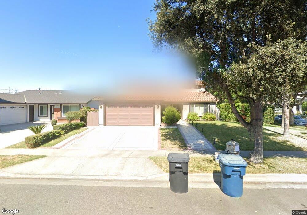
19605 Mapes Ave Cerritos, CA 90703
Estimated Value: $1,206,000 - $1,320,000
About This Home
This home is located at 19605 Mapes Ave, Cerritos, CA 90703 and is currently estimated at $1,271,724, approximately $529 per square foot. 19605 Mapes Ave is a home located in Los Angeles County with nearby schools including Bragg Elementary School, Haskell Stem Academy, and Gahr High School.
Ownership History
We collect this data history from publicly available records. To have your information removed, we recommend requesting removal directly through your county’s website.
Purchase Details
Purchase Details
Home Financials for this Owner
Home Financials are based on the most recent Mortgage that was taken out on this home.Home Values in the Area
Average Home Value in this Area
Purchase History
We collect this data history from publicly available records. To have your information removed, we recommend requesting removal directly through your county’s website.
| Date | Buyer | Sale Price | Title Company |
|---|---|---|---|
| -- | None Listed On Document | ||
| $218,000 | North American Title Company |
Mortgage History
We collect this data history from publicly available records. To have your information removed, we recommend requesting removal directly through your county’s website.
| Date | Status | Borrower | Loan Amount |
|---|---|---|---|
| Previous Owner | $196,200 |
Tax History
We collect this data history from publicly available records. To have your information removed, we recommend requesting removal directly through your county’s website.
| Year | Tax Paid | Tax Assessment Tax Assessment Total Assessment is a certain percentage of the fair market value that is determined by local assessors to be the total taxable value of land and additions on the property. | Land | Improvement |
|---|---|---|---|---|
| 2025 | $7,099 | $566,038 | $201,042 | $364,996 |
| 2024 | $6,807 | $554,940 | $197,100 | $357,840 |
| 2023 | $6,586 | $544,060 | $193,236 | $350,824 |
| 2022 | $6,485 | $533,394 | $189,448 | $343,946 |
| 2021 | $6,326 | $522,936 | $185,734 | $337,202 |
| 2019 | $6,179 | $507,427 | $180,226 | $327,201 |
| 2018 | $5,729 | $497,479 | $176,693 | $320,786 |
| 2016 | $5,488 | $478,164 | $169,833 | $308,331 |
| 2015 | $5,418 | $470,982 | $167,282 | $303,700 |
| 2014 | $5,311 | $461,757 | $164,006 | $297,751 |
Map
- 19616 Mapes Ave
- 19735 Harvest Ave
- 19708 Gridley Rd
- 11502 Bingham St
- 11132 Candor St
- 19209 Sheryl Ave
- 11610 Gonsalves St
- 11702 Christy St
- 19506 Corby Ave
- 19127 Pioneer Blvd Unit 9
- 19127 Pioneer Blvd Unit 4
- 19127 Pioneer Blvd Unit 73
- 19127 Pioneer Blvd Unit 45
- 19127 Pioneer Blvd Unit 32
- 5339 Stevely Ave
- 20109 Brenda Ct
- 11620 187th St
- 19518 Nancy Cir
- 6530 Denmead St
- 20626 Roseton Ave
- 19611 Mapes Ave
- 11266 Gonsalves St
- 19617 Mapes Ave
- 11262 Gonsalves St
- 11304 Gonsalves St
- 11273 Gonsalves St
- 11281 Gonsalves St
- 11267 Gonsalves St
- 19610 Mapes Ave
- 19623 Mapes Ave
- 11301 Gonsalves St
- 11263 Gonsalves St
- 11256 Gonsalves St
- 11308 Gonsalves St
- 11267 Jerry Place
- 11305 Gonsalves St
- 11257 Gonsalves St
- 11261 Jerry Place
- 19629 Mapes Ave
- 19622 Mapes Ave
Ask me questions while you tour the home.