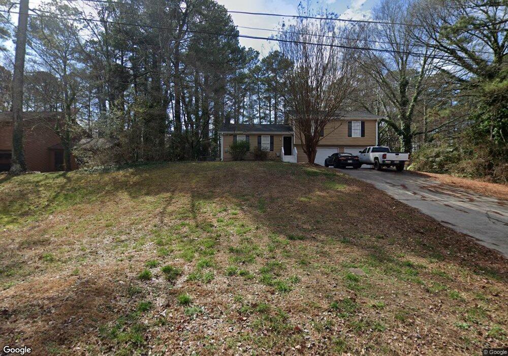
1961 Pine Dr Unit 4 Snellville, GA 30078
Estimated Value: $307,000 - $353,000
3
Beds
2
Baths
1,606
Sq Ft
$208/Sq Ft
Est. Value
About This Home
This home is located at 1961 Pine Dr Unit 4, Snellville, GA 30078 and is currently estimated at $333,680, approximately $207 per square foot. 1961 Pine Dr Unit 4 is a home located in Gwinnett County with nearby schools including Head Elementary School, Five Forks Middle School, and Brookwood High School.
Ownership History
Date
Name
Owned For
Owner Type
Purchase Details
Closed on
Feb 21, 2013
Sold by
Gamardo Gina E
Bought by
Freeport Title & Guaranty Inc
Current Estimated Value
Purchase Details
Closed on
Jun 14, 1993
Sold by
Conroy Vincent P
Bought by
Gamardo Gina E Jorge L
Home Financials for this Owner
Home Financials are based on the most recent Mortgage that was taken out on this home.
Original Mortgage
$75,859
Interest Rate
7.42%
Mortgage Type
FHA
Create a Home Valuation Report for This Property
The Home Valuation Report is an in-depth analysis detailing your home's value as well as a comparison with similar homes in the area
Home Values in the Area
Average Home Value in this Area
Purchase History
| Date | Buyer | Sale Price | Title Company |
|---|---|---|---|
| Freeport Title & Guaranty Inc | $83,000 | -- | |
| Gamardo Gina E Jorge L | $77,000 | -- |
Source: Public Records
Mortgage History
| Date | Status | Borrower | Loan Amount |
|---|---|---|---|
| Previous Owner | Gamardo Gina E Jorge L | $75,859 |
Source: Public Records
Tax History Compared to Growth
Tax History
| Year | Tax Paid | Tax Assessment Tax Assessment Total Assessment is a certain percentage of the fair market value that is determined by local assessors to be the total taxable value of land and additions on the property. | Land | Improvement |
|---|---|---|---|---|
| 2025 | $4,488 | $116,560 | $22,200 | $94,360 |
| 2024 | $2,822 | $116,560 | $22,200 | $94,360 |
| 2023 | $2,822 | $68,000 | $18,400 | $49,600 |
| 2022 | $2,767 | $68,000 | $18,400 | $49,600 |
| 2021 | $2,542 | $71,880 | $18,400 | $53,480 |
| 2020 | $2,778 | $67,240 | $16,000 | $51,240 |
| 2019 | $2,120 | $51,280 | $11,600 | $39,680 |
| 2018 | $2,116 | $51,280 | $11,600 | $39,680 |
| 2016 | $2,052 | $48,920 | $11,600 | $37,320 |
| 2015 | $1,797 | $41,200 | $9,200 | $32,000 |
| 2014 | -- | $41,200 | $9,200 | $32,000 |
Source: Public Records
Map
Nearby Homes
- 2350 Action Way
- 2167 Foley Park St
- 2286 Foley Park St
- 1904 Britt Dr
- 2034 Britt Dr
- 1893 Hedgestone Ct
- 1795 Elmwood Cir
- 3594 Hedgestone Ln
- 3588 Kelin Ct SW
- 1721 Bruckner Ct
- 3728 Kelin Ct SW
- 2296 Thackery Rd
- 3487 Desoto Rd
- 2325 Thackery Rd
- 3207 Aspen Cir SW
- 1916 Oakwood Grove Dr Unit 1
- 1845 Lisa Springs Dr
- 3063 Bruckner Blvd
- 1776 Bear Cave SW
- 1961 Pine Dr
- 1971 Pine Dr
- 1951 Pine Dr
- 1981 Pine Dr
- 1941 Pine Dr
- 1988 Elmwood Cir
- 1962 Pine Dr
- 1972 Pine Dr
- 1978 Elmwood Cir
- 1991 Pine Dr
- 1931 Pine Dr
- 1980 Elmwood Cir
- 3365 Hillside Dr
- 3367 Oak Dr
- 0 Elmwood Cir Unit 7426704
- 0 Elmwood Cir Unit 7356729
- 0 Elmwood Cir Unit 8877704
- 0 Elmwood Cir Unit 8860033
- 0 Elmwood Cir Unit 8245235
- 0 Elmwood Cir Unit 7597575