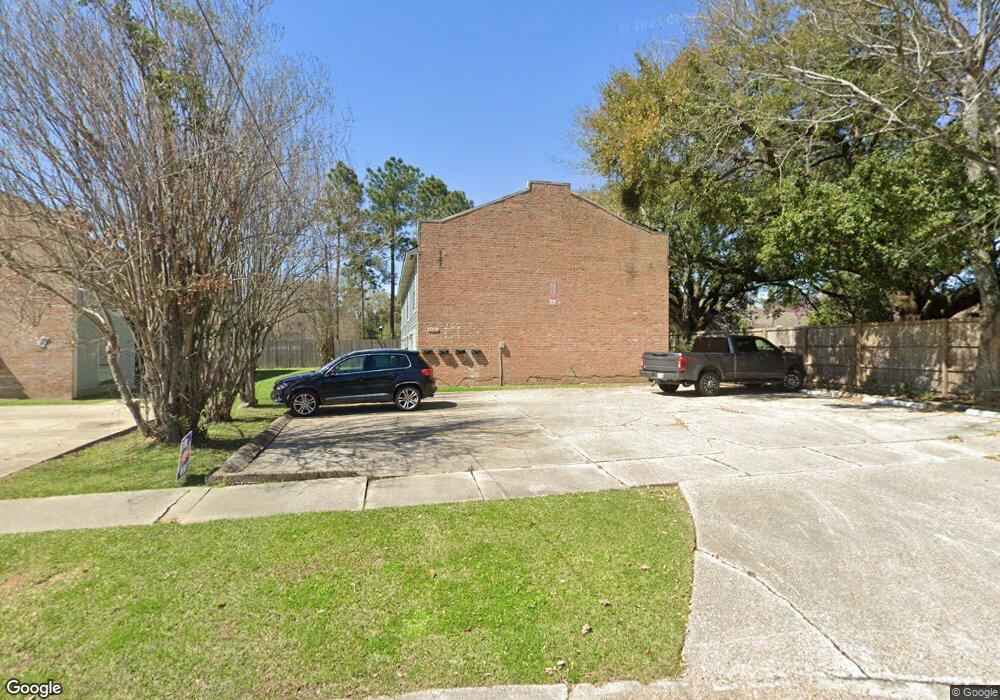
1961 Southpointe Dr Baton Rouge, LA 70808
Highlands/Perkins NeighborhoodEstimated Value: $204,000 - $370,000
--
Bed
8
Baths
--
Sq Ft
1
Acres
About This Home
COME CHECK OUT OUR 2 BEDROOM 1& 1/2 BATH TOWNHOME, THAT IS FRESHLY PAINTED, NO CARPET, IT IS VERY CLOSE TO SHOPPING, WITH TILE / LAMINATE FLOORING. NO PETS ALLOWED, 1 YEAR LEASE THAT GOES MONTH TO MONTH AFTER YOUR YEAR IS UP. NO UTILITIES ARE INCLUDED
Ownership History
Date
Name
Owned For
Owner Type
Purchase Details
Closed on
Feb 1, 2011
Sold by
Wells Fargo Bank
Bought by
Rabel Properties
Current Estimated Value
Purchase Details
Closed on
Jul 27, 2006
Sold by
Chenevert Michael J
Bought by
Abdul Wahid Saleh
Home Financials for this Owner
Home Financials are based on the most recent Mortgage that was taken out on this home.
Original Mortgage
$162,000
Interest Rate
6.66%
Mortgage Type
New Conventional
Create a Home Valuation Report for This Property
The Home Valuation Report is an in-depth analysis detailing your home's value as well as a comparison with similar homes in the area
Home Values in the Area
Average Home Value in this Area
Purchase History
| Date | Buyer | Sale Price | Title Company |
|---|---|---|---|
| Rabel Properties | $90,000 | -- | |
| Abdul Wahid Saleh | $202,500 | -- |
Source: Public Records
Mortgage History
| Date | Status | Borrower | Loan Amount |
|---|---|---|---|
| Previous Owner | Abdul Wahid Saleh | $162,000 |
Source: Public Records
Property History
| Date | Event | Price | List to Sale | Price per Sq Ft |
|---|---|---|---|---|
| 02/10/2025 02/10/25 | Off Market | $850 | -- | -- |
| 01/23/2025 01/23/25 | For Rent | -- | -- | -- |
| 10/08/2024 10/08/24 | Off Market | $850 | -- | -- |
| 10/04/2024 10/04/24 | For Rent | $850 | -- | -- |
Tax History Compared to Growth
Tax History
| Year | Tax Paid | Tax Assessment Tax Assessment Total Assessment is a certain percentage of the fair market value that is determined by local assessors to be the total taxable value of land and additions on the property. | Land | Improvement |
|---|---|---|---|---|
| 2024 | $1,771 | $15,120 | $1,848 | $13,272 |
| 2023 | $1,771 | $13,500 | $1,650 | $11,850 |
| 2022 | $1,612 | $13,500 | $1,650 | $11,850 |
| 2021 | $1,575 | $13,500 | $1,650 | $11,850 |
| 2020 | $1,565 | $13,500 | $1,650 | $11,850 |
| 2019 | $1,550 | $12,800 | $1,500 | $11,300 |
| 2018 | $1,531 | $12,800 | $1,500 | $11,300 |
| 2017 | $1,531 | $12,800 | $1,500 | $11,300 |
| 2016 | $1,493 | $12,800 | $1,500 | $11,300 |
| 2015 | $1,494 | $12,800 | $1,500 | $11,300 |
| 2014 | $1,489 | $12,800 | $1,500 | $11,300 |
| 2013 | -- | $15,000 | $1,500 | $13,500 |
Source: Public Records
Map
Nearby Homes
- 2020 Camellia Trace Dr
- 7619 Silverside Dr
- 7248 Perkins Rd Unit 203
- 7248 Perkins Rd Unit 209
- 7248 Perkins Rd Unit 205
- 7248 Perkins Rd Unit 208
- 7311 Japonica Ct
- 7721 Silverside Dr
- 7638 Silverside Dr
- 7614 Silverside Dr
- 1728 Seawolf Dr
- 1715 Seawolf Dr
- 1811 Seawolf Dr
- 1824 Longfin Dr
- 1342 Applewood Rd
- 7615 Whitetip Ave
- 3455 Granada Dr
- 8024 Picardy Ave Unit E
- 1431 Applewood Rd
- 9280 Samoa Ave
- 1961 Southpointe Dr Unit 1
- 1961 Southpointe Dr Unit B
- 1961 Southpointe Dr Unit C
- 1951 Southpointe Dr
- 2030 Camelia Trace Dr
- 7345 Sasanqua Ct
- 2020 Camelia Trace Dr
- 7346 Sasanqua Ct
- 7335 Sasanqua Ct
- 1941 Southpointe Dr
- 7336 Sasanqua Ct
- 7325 Sasanqua Ct
- 7326 Sasanqua Ct
- 1960 Southpointe Dr
- 7315 Sasanqua Ct
- 1950 Southpointe Dr
- 2030 Camelia Trace
- 7316 Sasanqua Ct
- 2020 Camelia Trace
- 0 Sasanqua Ct