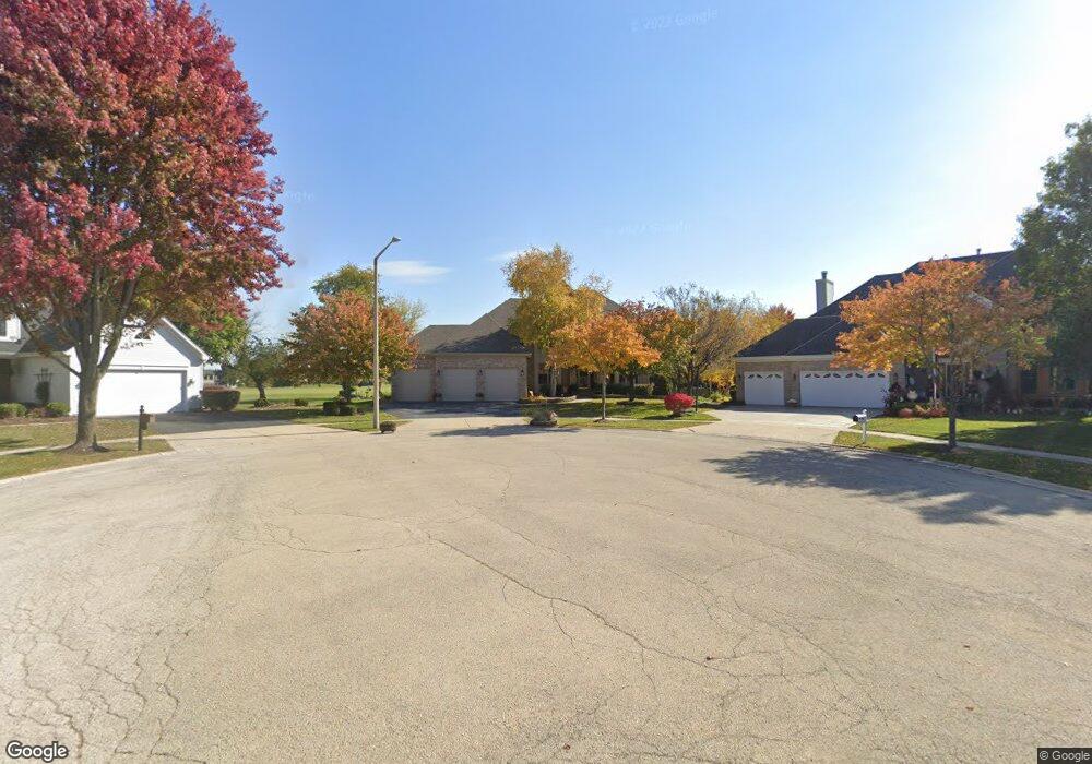
1961 Tunbridge Ct Algonquin, IL 60102
Estimated Value: $540,000 - $609,000
4
Beds
3
Baths
3,689
Sq Ft
$157/Sq Ft
Est. Value
About This Home
This home is located at 1961 Tunbridge Ct, Algonquin, IL 60102 and is currently estimated at $579,515, approximately $157 per square foot. 1961 Tunbridge Ct is a home located in McHenry County with nearby schools including Westfield Community School, Kenneth E Neubert Elementary School, and United Junior High School.
Ownership History
Date
Name
Owned For
Owner Type
Purchase Details
Closed on
Jan 31, 2019
Sold by
Chmela James F and Chmela Sandra A
Bought by
Chmela James F and Chmela Sandra A
Current Estimated Value
Purchase Details
Closed on
Jun 14, 1995
Sold by
Legacy Fine Custom Homes
Bought by
Chmela James and Chmela Sandra A
Home Financials for this Owner
Home Financials are based on the most recent Mortgage that was taken out on this home.
Original Mortgage
$205,000
Interest Rate
5.62%
Create a Home Valuation Report for This Property
The Home Valuation Report is an in-depth analysis detailing your home's value as well as a comparison with similar homes in the area
Home Values in the Area
Average Home Value in this Area
Purchase History
| Date | Buyer | Sale Price | Title Company |
|---|---|---|---|
| Chmela James F | -- | Attorney | |
| Chmela James | $329,000 | -- |
Source: Public Records
Mortgage History
| Date | Status | Borrower | Loan Amount |
|---|---|---|---|
| Closed | Chmela James | $205,000 |
Source: Public Records
Tax History Compared to Growth
Tax History
| Year | Tax Paid | Tax Assessment Tax Assessment Total Assessment is a certain percentage of the fair market value that is determined by local assessors to be the total taxable value of land and additions on the property. | Land | Improvement |
|---|---|---|---|---|
| 2024 | $13,607 | $189,944 | $37,447 | $152,497 |
| 2023 | $13,551 | $169,881 | $33,492 | $136,389 |
| 2022 | $13,094 | $158,680 | $42,351 | $116,329 |
| 2021 | $12,585 | $147,829 | $39,455 | $108,374 |
| 2020 | $12,265 | $142,595 | $38,058 | $104,537 |
| 2019 | $11,981 | $136,481 | $36,426 | $100,055 |
| 2018 | $11,446 | $126,080 | $33,650 | $92,430 |
| 2017 | $11,230 | $118,775 | $31,700 | $87,075 |
| 2016 | $11,084 | $111,401 | $29,732 | $81,669 |
| 2013 | -- | $105,882 | $27,736 | $78,146 |
Source: Public Records
Map
Nearby Homes
- 2161 Burnham Ct
- 2043 Peach Tree Ln Unit 4122
- 000 County Line Rd
- 1971 Peach Tree Ln
- 1820 Crofton Dr
- 741 Regal Ln
- 1900 Waverly Ln
- 30 Arbordale Ct Unit 4284
- 2235 Dawson Ln
- 661 Majestic Dr
- 2060 Dorchester Ave
- 700 Fairfield Ln
- 1 N Hubbard St
- SWC Talaga and Algonquin Rd
- 1210 Brandywine Cir
- Adams Plan at Algonquin Meadows - Single Family
- Sequoia Plan at Algonquin Meadows - Single Family
- Bryce Plan at Algonquin Meadows - Single Family
- Rainier Plan at Algonquin Meadows - Single Family
- Santa Rosa Plan at Algonquin Meadows - Single Family
- 1951 Tunbridge Ct
- 1385 Darlington Ct
- 1405 Darlington Ct
- 1981 Tunbridge Ct
- 1941 Tunbridge Ct
- 1380 Darlington Ct
- 1991 Tunbridge Ct
- 1931 Tunbridge Ct
- 1415 Darlington Ct
- 1400 Darlington Ct
- 1921 Tunbridge Ct
- 2001 Tunbridge Ct
- 1385 Stonegate Rd
- 1410 Darlington Ct
- 1405 Stonegate Rd
- 1911 Tunbridge Ct
- 1435 Darlington Ct
- 1420 Darlington Ct
- 1425 Stonegate Rd
- 1325 Stonegate Rd