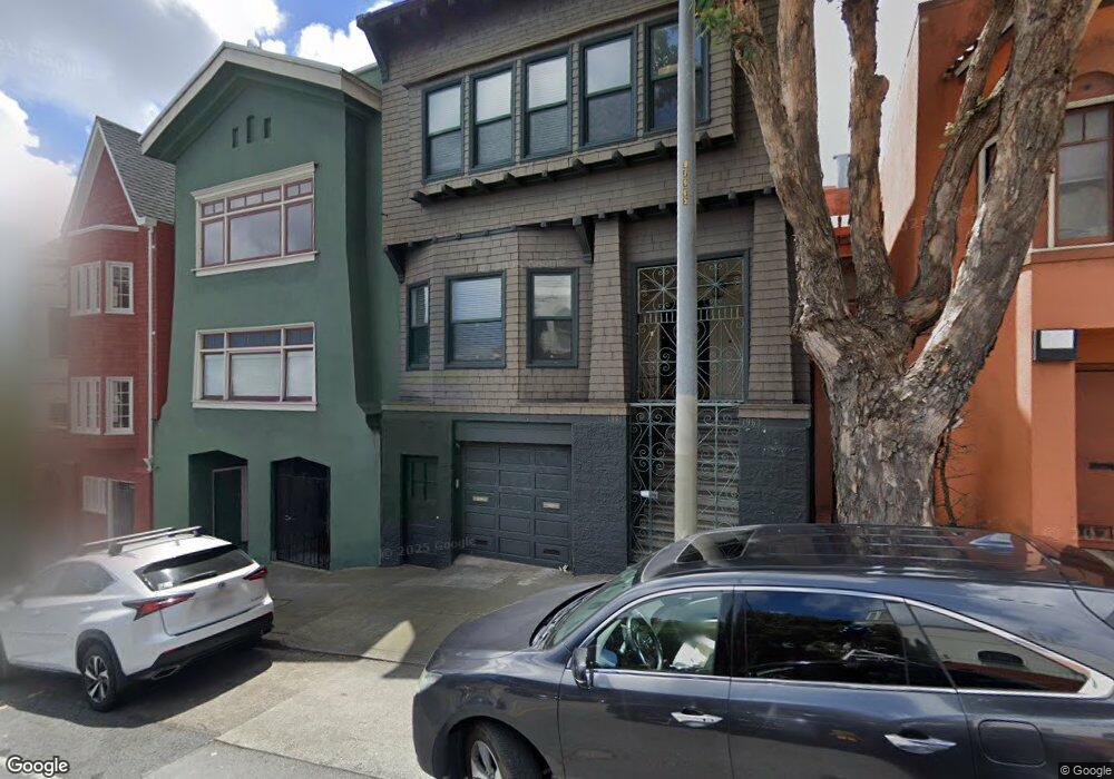
1961 Turk St Unit 1963 San Francisco, CA 94115
North of the Panhandle NeighborhoodEstimated Value: $1,428,000 - $1,973,993
--
Bed
2
Baths
2,720
Sq Ft
$603/Sq Ft
Est. Value
About This Home
This home is located at 1961 Turk St Unit 1963, San Francisco, CA 94115 and is currently estimated at $1,640,748, approximately $603 per square foot. 1961 Turk St Unit 1963 is a home located in San Francisco County with nearby schools including New Traditions Elementary School, Roosevelt Middle School, and Creative Arts Charter School.
Ownership History
Date
Name
Owned For
Owner Type
Purchase Details
Closed on
Mar 26, 2021
Sold by
Flynn John J and Flynn Tomoko Takeda
Bought by
Flynn John J and Flynn Tomoko Takeda
Current Estimated Value
Purchase Details
Closed on
Jul 20, 2017
Sold by
Flynn John J and Flynn Tomoko Takeda
Bought by
Flynn John J and Flynn Tomoko Takeda
Purchase Details
Closed on
Jan 2, 2003
Sold by
Flynn John J and Flynn Tomoko Takeda
Bought by
Flynn John J and Flynn Tomoko Takeda
Create a Home Valuation Report for This Property
The Home Valuation Report is an in-depth analysis detailing your home's value as well as a comparison with similar homes in the area
Home Values in the Area
Average Home Value in this Area
Purchase History
| Date | Buyer | Sale Price | Title Company |
|---|---|---|---|
| Flynn John J | -- | None Available | |
| Flynn John J | -- | None Available | |
| Flynn John J | -- | -- |
Source: Public Records
Tax History Compared to Growth
Tax History
| Year | Tax Paid | Tax Assessment Tax Assessment Total Assessment is a certain percentage of the fair market value that is determined by local assessors to be the total taxable value of land and additions on the property. | Land | Improvement |
|---|---|---|---|---|
| 2025 | $2,992 | $256,116 | $90,576 | $165,326 |
| 2024 | $2,992 | $251,158 | $88,800 | $162,085 |
| 2023 | $2,950 | $246,294 | $87,059 | $158,907 |
| 2022 | $2,898 | $241,492 | $85,352 | $155,792 |
| 2021 | $2,850 | $236,914 | $83,679 | $153,235 |
| 2020 | $2,905 | $234,353 | $82,821 | $151,532 |
| 2019 | $2,809 | $229,766 | $81,198 | $148,568 |
| 2018 | $2,713 | $225,268 | $79,606 | $145,662 |
| 2017 | $2,681 | $220,859 | $78,046 | $142,813 |
| 2016 | $2,608 | $216,536 | $76,516 | $140,020 |
| 2015 | $2,573 | $213,290 | $75,367 | $137,923 |
| 2014 | $2,506 | $209,120 | $73,891 | $135,229 |
Source: Public Records
Map
Nearby Homes
- 856 Baker St
- 1909 Eddy St Unit 3
- 726 Lyon St
- 84 Fortuna Ave
- 48 Terra Vista Ave Unit B
- 1828 Eddy St Unit 101
- 2000 Ellis St Unit 201
- 560 Lyon St
- 516 Baker St Unit 516
- 617 Broderick St Unit B
- 613 Broderick St
- 535 Broderick St
- 529 Broderick St Unit A
- 1365 Scott St Unit 2
- 1365 Scott St Unit 1
- 2001 Mcallister St Unit 120
- 558 Central Ave
- 1451-1453 Hayes St
- 1450 Lyon St
- 1057 Steiner St
- 1951 Turk St
- 1953 Turk St
- 1969 Turk St
- 1955 Turk St
- 1955 Turk St Unit 1957
- 1955 Turk St Unit 1957
- 1995 Turk St Unit 2
- 1995 Turk St Unit 4
- 1995 Turk St Unit 3
- 1995 Turk St
- 1995 Turk St Unit 1
- 854 Baker St
- 1939 Turk Blvd
- 848 Baker St Unit 850
- 1943 Turk St Unit 1945
- 838 Baker St
- 840 Baker St
- 1931 Turk St
- 1925 Turk St
- 830 Baker St