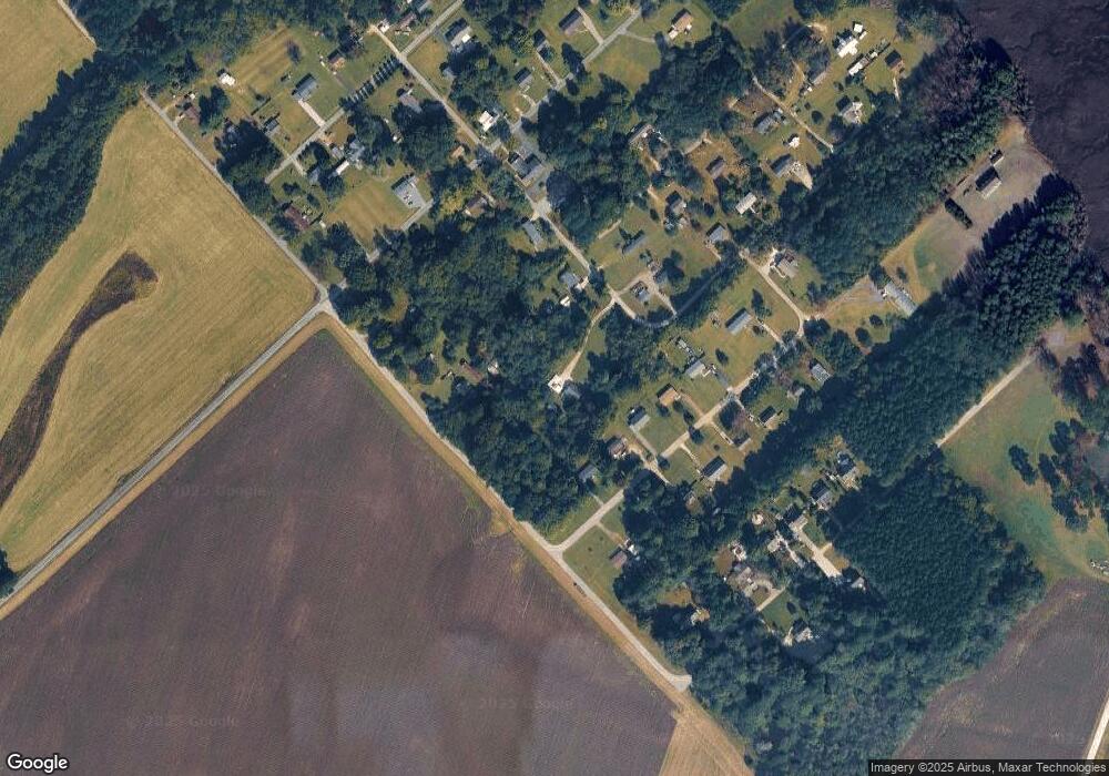
19611 Mattaponi Rd West Point, VA 23181
Estimated Value: $159,104 - $312,000
3
Beds
1
Bath
1,360
Sq Ft
$181/Sq Ft
Est. Value
About This Home
This home is located at 19611 Mattaponi Rd, West Point, VA 23181 and is currently estimated at $246,776, approximately $181 per square foot. 19611 Mattaponi Rd is a home located in New Kent County with nearby schools including New Kent High School.
Ownership History
Date
Name
Owned For
Owner Type
Purchase Details
Closed on
Aug 24, 2023
Sold by
Works Atlowtic Earyh and Carter Cf
Bought by
Cartes C F
Current Estimated Value
Purchase Details
Closed on
Mar 16, 2023
Sold by
Carter C F
Bought by
Atlantic Earth Works Llc
Purchase Details
Closed on
Jun 18, 2010
Sold by
Elliott Spec Comm James W
Bought by
Carter C F
Purchase Details
Closed on
Jun 30, 2006
Sold by
Bondurant Special Commissione B Elliott and Shirley A Plaintiff V
Bought by
Scenario Inc
Home Financials for this Owner
Home Financials are based on the most recent Mortgage that was taken out on this home.
Original Mortgage
$46,400
Interest Rate
6.8%
Mortgage Type
Credit Line Revolving
Create a Home Valuation Report for This Property
The Home Valuation Report is an in-depth analysis detailing your home's value as well as a comparison with similar homes in the area
Home Values in the Area
Average Home Value in this Area
Purchase History
| Date | Buyer | Sale Price | Title Company |
|---|---|---|---|
| Cartes C F | -- | None Listed On Document | |
| Atlantic Earth Works Llc | -- | -- | |
| Carter C F | -- | -- | |
| Scenario Inc | -- | -- |
Source: Public Records
Mortgage History
| Date | Status | Borrower | Loan Amount |
|---|---|---|---|
| Previous Owner | Scenario Inc | $46,400 |
Source: Public Records
Tax History Compared to Growth
Tax History
| Year | Tax Paid | Tax Assessment Tax Assessment Total Assessment is a certain percentage of the fair market value that is determined by local assessors to be the total taxable value of land and additions on the property. | Land | Improvement |
|---|---|---|---|---|
| 2025 | $576 | $96,000 | $34,200 | $61,800 |
| 2024 | $566 | $96,000 | $34,200 | $61,800 |
| 2023 | $600 | $89,500 | $32,900 | $56,600 |
| 2022 | $600 | $89,500 | $32,900 | $56,600 |
| 2021 | $585 | $74,100 | $22,400 | $51,700 |
| 2020 | $585 | $74,100 | $22,400 | $51,700 |
| 2019 | $580 | $70,700 | $19,000 | $51,700 |
| 2018 | $580 | $70,700 | $19,000 | $51,700 |
| 2017 | $506 | $61,000 | $16,800 | $44,200 |
| 2016 | $506 | $61,000 | $16,800 | $44,200 |
| 2015 | $539 | $64,200 | $14,500 | $49,700 |
| 2014 | -- | $64,200 | $14,500 | $49,700 |
Source: Public Records
Map
Nearby Homes
- Lot 52G Georgia Ave
- 8041 Georgia Ave
- 8325 Mill Creek Rd Unit A
- 19041 Eltham Rd
- 200 Lee St
- 1213 Kirby St
- 0 14th and Kirby St
- 515 18th St
- 230 Glen St
- TBD Squirrel Hollow Ln
- Lot 23 Glen St
- 000 Glen St
- .21ac Glen St
- 00 Glen St
- 262 Goulders Creek Rd
- 3050 King William Ave
- 605 Rivergate Terrace
- .21ac King William Ave
- Lot 24 King William Ave
- Lot 25 King William Ave
- 19601 Mattaponi Rd
- 19542 Old Ferry Rd
- 19540 Old Ferry Rd
- 7840 Maryland Ave
- 7810 Maryland Ave
- 7836 Maryland Ave
- 19541 Mattaponi Rd
- 7880 Maryland Ave
- 7890 Maryland Ave
- 00 Maryland Ave
- 19521 Mattaponi Rd
- 19510 Old Ferry Rd
- 0 Maryland Ave Unit 2937105
- 7831 Maryland Ave
- 7845 Maryland Ave
- 7900 Pennsylvania Ave
- 19550 Mattaponi Rd
- 7869 Maryland Ave
- 7801 Maryland Ave
- 7825 Plum Point Rd
