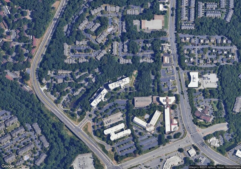
1962 SW Spectrum Circle Crescent SW Unit 305 Marietta, GA 30067
Southeast Cobb NeighborhoodEstimated Value: $151,000 - $277,000
1
Bed
1
Bath
780
Sq Ft
$251/Sq Ft
Est. Value
About This Home
This home is located at 1962 SW Spectrum Circle Crescent SW Unit 305, Marietta, GA 30067 and is currently estimated at $195,944, approximately $251 per square foot. 1962 SW Spectrum Circle Crescent SW Unit 305 is a home located in Cobb County with nearby schools including Brumby Elementary School, East Cobb Middle School, and Wheeler High School.
Ownership History
Date
Name
Owned For
Owner Type
Purchase Details
Closed on
Sep 29, 2023
Sold by
Elevation Llc
Bought by
Elevation Llc and Pumbaa Llc
Current Estimated Value
Home Financials for this Owner
Home Financials are based on the most recent Mortgage that was taken out on this home.
Original Mortgage
$46,077,000
Outstanding Balance
$30,308,004
Interest Rate
7.09%
Mortgage Type
New Conventional
Estimated Equity
-$30,112,060
Purchase Details
Closed on
Nov 13, 2019
Sold by
Cascade S & K Llc
Bought by
Elevation Llc
Purchase Details
Closed on
Feb 27, 2013
Sold by
Basharu Aminu
Bought by
Cascade S & K Llc
Purchase Details
Closed on
Jan 15, 2013
Sold by
Idowu Adeyhmi Olubunmi
Bought by
Basharu Aminu
Purchase Details
Closed on
Jun 30, 2008
Sold by
Security Bank Of Gwinnett
Bought by
Adeosun Olubunmi
Create a Home Valuation Report for This Property
The Home Valuation Report is an in-depth analysis detailing your home's value as well as a comparison with similar homes in the area
Home Values in the Area
Average Home Value in this Area
Purchase History
| Date | Buyer | Sale Price | Title Company |
|---|---|---|---|
| Elevation Llc | -- | Calloway Title | |
| Elevation Llc | $120,000 | -- | |
| Cascade S & K Llc | $32,000 | -- | |
| Basharu Aminu | -- | -- | |
| Adeosun Olubunmi | $55,000 | -- |
Source: Public Records
Mortgage History
| Date | Status | Borrower | Loan Amount |
|---|---|---|---|
| Open | Elevation Llc | $46,077,000 |
Source: Public Records
Tax History Compared to Growth
Tax History
| Year | Tax Paid | Tax Assessment Tax Assessment Total Assessment is a certain percentage of the fair market value that is determined by local assessors to be the total taxable value of land and additions on the property. | Land | Improvement |
|---|---|---|---|---|
| 2024 | $1,204 | $39,940 | $12,000 | $27,940 |
| 2023 | $1,204 | $39,940 | $12,000 | $27,940 |
| 2022 | $1,212 | $39,940 | $12,000 | $27,940 |
| 2021 | $1,212 | $39,940 | $12,000 | $27,940 |
| 2020 | $1,097 | $36,140 | $10,000 | $26,140 |
| 2019 | $908 | $29,912 | $10,000 | $19,912 |
| 2018 | $804 | $26,492 | $8,000 | $18,492 |
| 2017 | $645 | $22,420 | $4,800 | $17,620 |
| 2016 | $423 | $14,716 | $4,800 | $9,916 |
| 2015 | $434 | $14,716 | $4,800 | $9,916 |
| 2014 | $380 | $12,784 | $0 | $0 |
Source: Public Records
Map
Nearby Homes
- 788 Old Paper Mill Dr SE
- 3239 Mill Chase Cir SE
- 3043 Greyfield Place SE
- 723 Monticello Way SE
- 770 Old Paper Mill Dr SE
- 3190 Powers SE
- 763 Old Paper Mill Dr SE
- 3201 Lakeridge Dr SE
- 621 Windgrove Rd SE Unit 2
- 3048 Haverford Ln SE
- 3345 Hallmark Dr SE
- 3022 Gaston Cir SE
- 2978 Haverford Ln SE
- 2988 Chipmunk Trail SE
- 3265 Beechwood Dr SE
- 1135 Timberland Dr SE
- 2995 Haverford Ln SE Unit 2
- 3201 Palisades Ct SE
- 2895 Brandl Cove Ct Unit 4
- 263 3970 Paper Mill Road Trail
- 1340 Golden Rock Ln SE Unit 45
- 1706 Riverside Dr Unit 17
- 1960 0 Unit 155
- 0 NE Paper Mill Rd Unit 4002774
- 0 NE Paper Mill Rd Unit 4100888
- 0 NE Paper Mill Rd Unit 4100871
- 0 Lower Roswell Rd SE Unit 1251 7259525
- 0 NE Paper Mill Rd Unit 3236708
- 0 NE Paper Mill Rd Unit 7458914
- 0 Lower Roswell Rd SE Unit 8825297
- 0 Lower Roswell Rd SE Unit 8825294
- 0 Lower Roswell Rd SE Unit 8882475
- 1066 Woodruff
- 102208 Windy Hill Rd Unit 102208
- 0 Lower Roswell Rd SE Unit 1251 7169691
- 0 Lower Roswell Rd SE Unit 5532021
- 0 Lower Roswell Rd SE Unit 5589775
- 0 Lower Roswell Rd SE Unit 5208670
