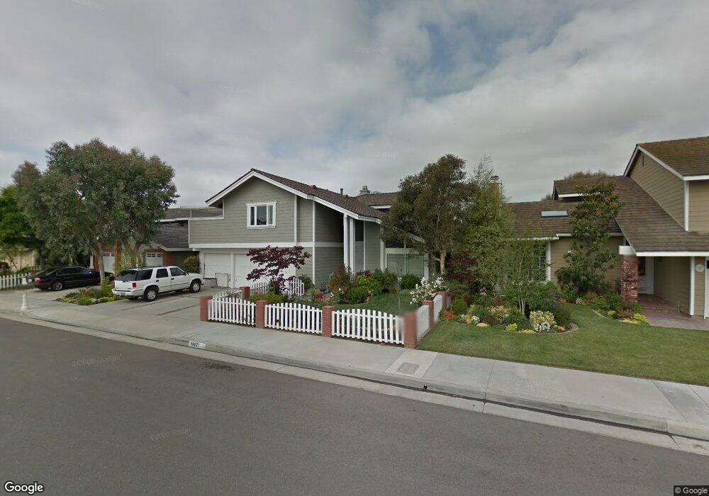
19621 Ditmar Ln Huntington Beach, CA 92646
Estimated Value: $1,748,000 - $2,211,000
4
Beds
3
Baths
3,072
Sq Ft
$625/Sq Ft
Est. Value
About This Home
This home is located at 19621 Ditmar Ln, Huntington Beach, CA 92646 and is currently estimated at $1,919,313, approximately $624 per square foot. 19621 Ditmar Ln is a home located in Orange County with nearby schools including John R. Peterson Elementary, Ethel Dwyer Middle, and Huntington Beach High School.
Ownership History
Date
Name
Owned For
Owner Type
Purchase Details
Closed on
Dec 14, 2022
Sold by
Mcgee James W S and Mcgee Beth E
Bought by
Mcgee Family Trust and Mcgee
Current Estimated Value
Purchase Details
Closed on
Sep 30, 1999
Sold by
Security Trust Company
Bought by
Mcgee James W S and Mcgee Beth E
Create a Home Valuation Report for This Property
The Home Valuation Report is an in-depth analysis detailing your home's value as well as a comparison with similar homes in the area
Home Values in the Area
Average Home Value in this Area
Purchase History
| Date | Buyer | Sale Price | Title Company |
|---|---|---|---|
| Mcgee Family Trust | -- | None Listed On Document | |
| Mcgee James W S | -- | Chicago Title Co |
Source: Public Records
Tax History Compared to Growth
Tax History
| Year | Tax Paid | Tax Assessment Tax Assessment Total Assessment is a certain percentage of the fair market value that is determined by local assessors to be the total taxable value of land and additions on the property. | Land | Improvement |
|---|---|---|---|---|
| 2025 | $7,068 | $624,755 | $257,940 | $366,815 |
| 2024 | $7,068 | $612,505 | $252,882 | $359,623 |
| 2023 | $6,908 | $600,496 | $247,924 | $352,572 |
| 2022 | $6,725 | $588,722 | $243,063 | $345,659 |
| 2021 | $6,600 | $577,179 | $238,297 | $338,882 |
| 2020 | $6,556 | $571,261 | $235,853 | $335,408 |
| 2019 | $6,478 | $560,060 | $231,228 | $328,832 |
| 2018 | $6,377 | $549,079 | $226,694 | $322,385 |
| 2017 | $6,291 | $538,313 | $222,249 | $316,064 |
| 2016 | $6,012 | $527,758 | $217,891 | $309,867 |
| 2015 | $5,954 | $519,831 | $214,618 | $305,213 |
| 2014 | $5,828 | $509,649 | $210,414 | $299,235 |
Source: Public Records
Map
Nearby Homes
- 8582 Salt Lake Dr
- 8291 Polk Cir
- 19362 Weymouth Ln
- 8242 Grant Dr
- 19321 Beach Blvd
- 20162 S New Britain Ln
- 8472 Norfolk Dr
- 20131 Crown Reef Ln
- 8120 Islandview Cir Unit C
- 20191 Imperial Cove Ln
- 20251 Lighthouse Ln
- 20302 Tidepool Cir Unit 204
- 20251 Cape Coral Ln Unit 315
- 8122 Seawater Dr
- 9121 Madeline Dr
- 2612 Del Way Unit B
- 609 Amber Dr
- 8342 Seaport Dr
- 20301 Bluffside Cir Unit D312
- 20301 Bluffside Cir Unit D401
- 19611 Ditmar Ln
- 19641 Ditmar Ln
- 19622 Drybrook Ln
- 19612 Drybrook Ln
- 19642 Drybrook Ln
- 19601 Ditmar Ln
- 19651 Ditmar Ln
- 8421 Compton Dr
- 19602 Drybrook Ln
- 19652 Drybrook Ln
- 8422 Compton Dr
- 19591 Ditmar Ln
- 19661 Ditmar Ln
- 19662 Drybrook Ln
- 19592 Drybrook Ln
- 8441 Compton Dr
- 8442 Compton Dr
- 8422 Grace Cir
- 8421 Poe Dr
- 19571 Ditmar Ln